
Holden House
1554 Midway Pky,
Saint Paul, MN 55108
$1,375 - $2,015 Plus Fees
Studio - 2 Beds 12 Month Lease
Bedrooms
Studio - 2 bd
Bathrooms
1 - 2 ba
Square Feet
599 - 1,514 sq ft
Situated in the heart of the Lowertown Historic District between Mears Park and the Union Depot Station, 333 on the Park is a historic building converted into luxury apartments. This idyllic location allows you to immerse yourself in downtown and in close proximity to experience all of the things that St. Paul has to offer. Conveniently located next to the Green Line light rail transit, Metro Transit bus system, Amtrak train station, and connected to the skyways, getting around has never been so seamless. The Lowertown area hosts a vibrant collection of retail shops, cafes, bars, and restaurants and is within walking distance to the Farmers Market, St. Paul Saints CHS Field, and the Xcel Center.
Situated in the heart of the Lowertown Historic District between Mears Park and the Union Depot Station, 333 on the Park is a historic building converted into luxury apartments. This idyllic location allows you to immerse yourself in downtown and in close proximity to experience all of the things that St. Paul has to offer. Conveniently located next to the Green Line light rail transit, Metro Transit bus system, Amtrak train station, and connected to the skyways, getting around has never been so seamless. The Lowertown area hosts a vibrant collection of retail shops, cafes, bars, and restaurants and is within walking distance to the Farmers Market, St. Paul Saints CHS Field, and the Xcel Center.
333 on the Park is an apartment community located in Ramsey County and the 55101 ZIP Code. This area is served by the St. Paul Public attendance zone.
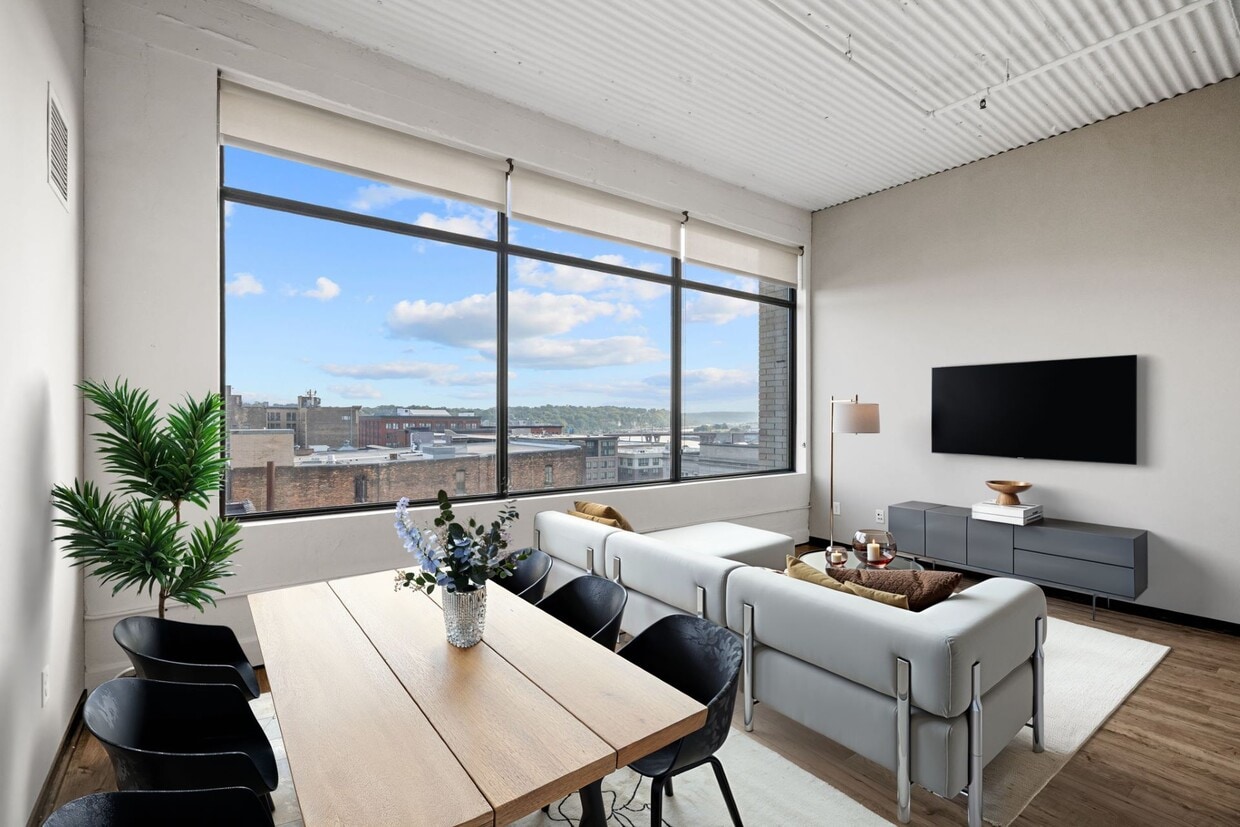
Unique Features
Fitness Center
Furnished Units Available
Elevator
Concierge
Roof Terrace
Controlled Access
Recycling
Business Center
Washer/Dryer
Air Conditioning
Dishwasher
High Speed Internet Access
Hardwood Floors
Walk-In Closets
Island Kitchen
Granite Countertops
Despite a similar name, St. Paul’s Lowertown is different from downtown in both location and character. While most residents know Downtown St. Paul as the entertainment hub of the city, Lowertown — its neighbor to the east — is developing a unique identity all its own.
Art galleries, restaurants, and local businesses are setting up shop in the warehouses and factories that put St. Paul on the map in the 20th century. Mears Park and the greenway along the Mississippi River provide much-need recreation space in this growing city. Residents of Lowertown enjoy a booming nightlife scene, as well as short commute times thanks to the interstates around the area.
Learn more about living in LowertownCompare neighborhood and city base rent averages by bedroom.
| Lowertown | Saint Paul, MN | |
|---|---|---|
| Studio | $1,210 | $1,117 |
| 1 Bedroom | $1,508 | $1,268 |
| 2 Bedrooms | $2,093 | $1,605 |
| 3 Bedrooms | $2,781 | $2,153 |
| Colleges & Universities | Distance | ||
|---|---|---|---|
| Colleges & Universities | Distance | ||
| Drive: | 2 min | 1.2 mi | |
| Drive: | 4 min | 1.6 mi | |
| Drive: | 7 min | 3.9 mi | |
| Drive: | 11 min | 5.0 mi |


Transportation options available in Saint Paul include 10Th St Station, located 0.8 mile from 333 on the Park. 333 on the Park is near Minneapolis-St Paul International/Wold-Chamberlain, located 9.4 miles or 15 minutes away.
| Transit / Subway | Distance | ||
|---|---|---|---|
| Transit / Subway | Distance | ||
| Walk: | 14 min | 0.8 mi | |
| Walk: | 16 min | 0.8 mi | |
| Walk: | 19 min | 1.0 mi | |
| Walk: | 21 min | 1.1 mi | |
| Drive: | 21 min | 1.1 mi |
| Commuter Rail | Distance | ||
|---|---|---|---|
| Commuter Rail | Distance | ||
|
|
Walk: | 23 min | 1.2 mi |
|
|
Drive: | 20 min | 10.8 mi |
|
|
Drive: | 23 min | 16.9 mi |
|
|
Drive: | 33 min | 25.1 mi |
|
|
Drive: | 34 min | 26.7 mi |
| Airports | Distance | ||
|---|---|---|---|
| Airports | Distance | ||
|
Minneapolis-St Paul International/Wold-Chamberlain
|
Drive: | 15 min | 9.4 mi |
Time and distance from 333 on the Park.
| Shopping Centers | Distance | ||
|---|---|---|---|
| Shopping Centers | Distance | ||
| Drive: | 4 min | 2.1 mi | |
| Drive: | 5 min | 2.5 mi | |
| Drive: | 6 min | 3.1 mi |
| Parks and Recreation | Distance | ||
|---|---|---|---|
| Parks and Recreation | Distance | ||
|
Minnesota Children's Museum
|
Walk: | 11 min | 0.6 mi |
|
Mississippi National River & Recreation Area
|
Walk: | 17 min | 0.9 mi |
|
Kellogg Mall Park
|
Walk: | 17 min | 0.9 mi |
|
Science Museum of Minnesota
|
Drive: | 2 min | 1.2 mi |
|
Irvine Park
|
Drive: | 3 min | 1.3 mi |
| Hospitals | Distance | ||
|---|---|---|---|
| Hospitals | Distance | ||
| Walk: | 15 min | 0.8 mi | |
| Walk: | 23 min | 1.2 mi | |
| Walk: | 25 min | 1.3 mi |
| Military Bases | Distance | ||
|---|---|---|---|
| Military Bases | Distance | ||
| Drive: | 14 min | 8.1 mi |
Pets Allowed Fitness Center Pool Dishwasher Refrigerator Clubhouse Maintenance on site
Pets Allowed Fitness Center Pool In Unit Washer & Dryer Walk-In Closets High-Speed Internet Controlled Access
What Are Walk Score®, Transit Score®, and Bike Score® Ratings?
Walk Score® measures the walkability of any address. Transit Score® measures access to public transit. Bike Score® measures the bikeability of any address.
What is a Sound Score Rating?
A Sound Score Rating aggregates noise caused by vehicle traffic, airplane traffic and local sources

333 Sibley St
Saint Paul, MN 55101


