
$5,250
Total Monthly Price
12 Month Lease
243 Northampton St Unit 1
Boston, MA 02118
2 Weeks Ago
Favorites
508-403-7693
-
Bedrooms
3
-
Bathrooms
3
-
Square Feet
1,400 sq ft
-
Available
Available Now
Highlight
- Smoke Free
243 Northampton St Unit 1

Favorites
About This Home
12 Month Lease,
$5,250 deposit,
Available Now
Applications need to say lease ends Please make sure we have all client's email addresses clearly on applications so we can email leases. Incomplete packages will not be considered. YOU MUST USE OUR FORMS TO APPLY. MAKE SURE ALL BOXES ARE FILLED IN ON APPS FOR APARTMENT INFO, PAYMENTS, FELONY QUESTION AND PETS.
243 Northampton St is an apartment community located in Suffolk County and the 02118 ZIP Code.
* Price shown is total price including community-supplied monthly required fees. Price, availability, fees, and any applicable rent special are subject to change without notice.
* Square footage definitions vary. Displayed square footage is approximate.
Apartment Features
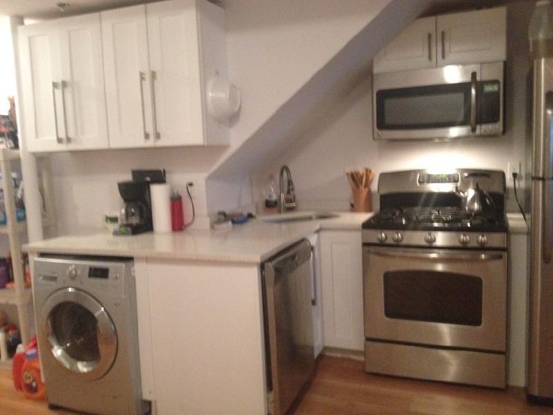
- Washer/Dryer
- Smoke Free
Fees and Policies
The fees below are based on community-supplied data and may exclude additional fees and utilities.
- Parking
-
Street--
Details
Utilities Included
-
Water
Contact
- Phone Number
- Contact
Location
Get Directions
Situated between the South End and Dudley Square, Lower Roxbury is a predominantly residential neighborhood brimming with apartments and town houses available for rent. Residents enjoy a walkable urban environment filled with diverse historical architecture.
Warren Street and Washington Street are the neighborhood’s main commercial thoroughfares, touting rows of specialty shops, markets, and eateries in historic buildings. Northeastern University, Wentworth Institute of Technology, and Massachusetts College of Art and Design are all just northwest of Lower Roxbury, offering the community a bevy of cultural and educational amenities. Getting around from Lower Roxbury is easy with access to multiple T stops on the Orange Line.
Learn more about living in Lower Roxbury
Education
| Colleges & Universities | Distance | ||
|---|---|---|---|
| Colleges & Universities | Distance | ||
| Walk: | 9 min | 0.5 mi | |
| Walk: | 13 min | 0.7 mi | |
| Walk: | 17 min | 0.9 mi | |
| Drive: | 2 min | 1.1 mi |
243 Northampton St Unit 1 is within 9 minutes or 0.5 mile from Northeastern University. It is also near Berklee College of Music and Wentworth Inst. of Technology.
Transportation options available in Boston include Massachusetts Ave Station (Orange Line), located 0.3 mile from 243 Northampton St Unit 1. 243 Northampton St Unit 1 is near General Edward Lawrence Logan International, located 5.4 miles or 11 minutes away.
| Transit / Subway | Distance | ||
|---|---|---|---|
| Transit / Subway | Distance | ||
|
|
Walk: | 6 min | 0.3 mi |
|
|
Walk: | 7 min | 0.4 mi |
|
|
Walk: | 11 min | 0.6 mi |
|
|
Walk: | 12 min | 0.7 mi |
|
|
Walk: | 17 min | 0.9 mi |
| Commuter Rail | Distance | ||
|---|---|---|---|
| Commuter Rail | Distance | ||
|
|
Drive: | 5 min | 1.2 mi |
| Drive: | 2 min | 1.2 mi | |
|
|
Drive: | 3 min | 1.3 mi |
|
|
Drive: | 4 min | 1.9 mi |
|
|
Drive: | 7 min | 4.0 mi |
| Airports | Distance | ||
|---|---|---|---|
| Airports | Distance | ||
|
General Edward Lawrence Logan International
|
Drive: | 11 min | 5.4 mi |
Time and distance from 243 Northampton St Unit 1.
| Shopping Centers | Distance | ||
|---|---|---|---|
| Shopping Centers | Distance | ||
| Drive: | 5 min | 2.0 mi | |
| Drive: | 9 min | 5.0 mi | |
| Drive: | 9 min | 5.2 mi |
243 Northampton St Unit 1 has 3 shopping centers within 5.2 miles, which is about a 9-minute drive. The miles and minutes will be for the farthest away property.
| Parks and Recreation | Distance | ||
|---|---|---|---|
| Parks and Recreation | Distance | ||
|
Roxbury Heritage State Park
|
Drive: | 2 min | 1.3 mi |
|
Boston Public Garden
|
Drive: | 4 min | 1.6 mi |
|
Charles River Reservation
|
Drive: | 4 min | 1.7 mi |
|
Boston African American National Historic Site
|
Drive: | 6 min | 2.0 mi |
|
Coit Observatory
|
Drive: | 5 min | 2.1 mi |
243 Northampton St Unit 1 has 5 parks within 2.1 miles, including Roxbury Heritage State Park, Boston Public Garden, and Charles River Reservation.
| Hospitals | Distance | ||
|---|---|---|---|
| Hospitals | Distance | ||
| Walk: | 9 min | 0.5 mi | |
| Walk: | 14 min | 0.7 mi | |
| Drive: | 3 min | 1.5 mi |
243 Northampton St Unit 1 has 3 hospitals within 1.5 miles, the nearest is Boston Medical Center which is 0.5 mile away and a 9 minute walk.
| Military Bases | Distance | ||
|---|---|---|---|
| Military Bases | Distance | ||
| Drive: | 30 min | 15.9 mi |
243 Northampton St Unit 1 is 15.9 miles and a 30 minute drive from Hanscom Air Force Base.
Amenities
- Washer/Dryer
- Smoke Free
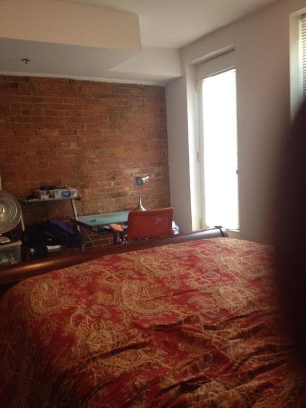
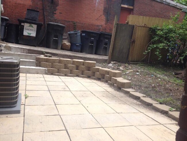
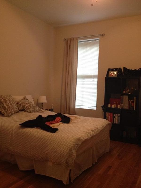
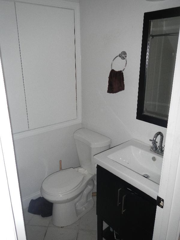
243 Northampton St Unit 1 Photos
What Are Walk Score®, Transit Score®, and Bike Score® Ratings?
Walk Score® measures the walkability of any address. Transit Score® measures access to public transit. Bike Score® measures the bikeability of any address.
What is a Sound Score Rating?
A Sound Score Rating aggregates noise caused by vehicle traffic, airplane traffic and local sources
243 Northampton St
Boston, MA 02118