
Moment
650 Portland Ave S,
Minneapolis, MN 55415
Studio - 2 Beds $1,554 - $5,618
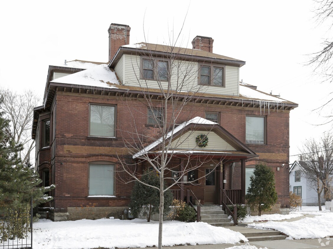
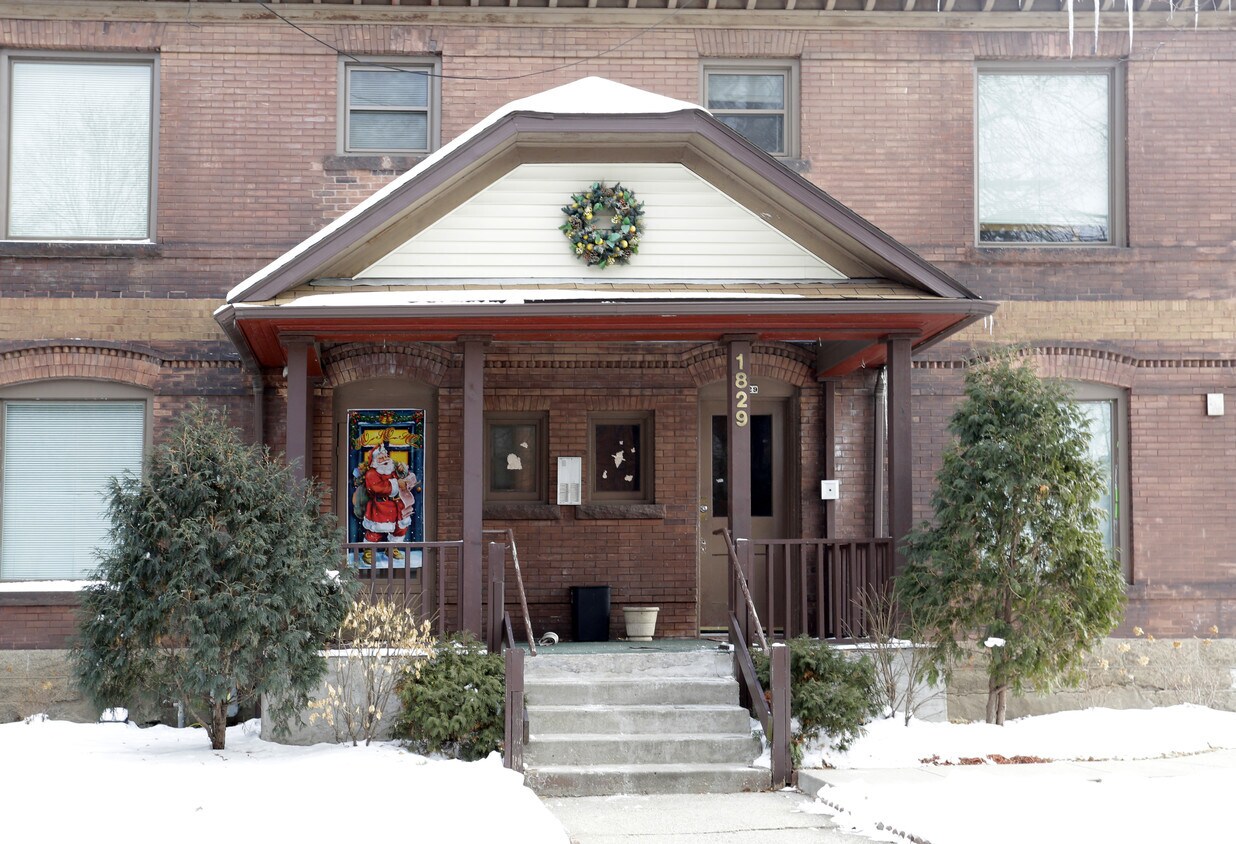
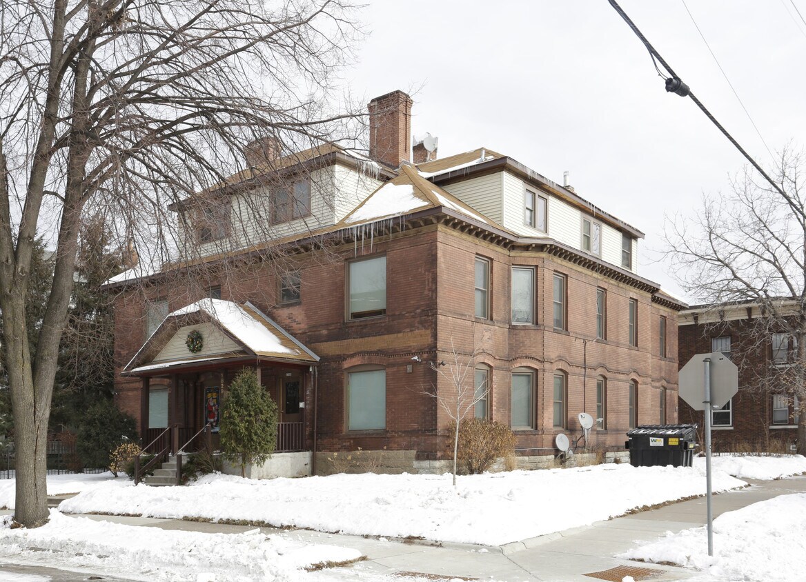
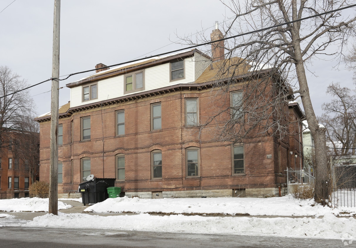

1829 10th Ave S offers a mixture of comfort, quality and design. Located at 1829 10th Ave S. in Minneapolis, this community has much to offer its residents. From amenities to availability, the leasing team is ready to match you with the perfect new place. Schedule a time to see the current floorplan options. Experience a better way of living at 1829 10th Ave S. Contact or drop by the leasing office to talk about leasing your next apartment.
1829 10th Ave S is an apartment community located in Hennepin County and the 55404 ZIP Code. This area is served by the Minneapolis Public School Dist. attendance zone.
Refrigerator
Heating
Oven
Range
In the north end of the Minneapolis' Phillips district lies Ventura Village, a small neighborhood tucked between Interstate 35 and Hiawatha Avenue. Potential residents have a wide selection of apartments and houses to rent, and the commute to downtown Minneapolis, only 1.5 miles north, typically takes less than 10 minutes.
Ventura Village's businesses and community organizations reflect the area's rich history celebrating the area's Native American culture. For a taste of classic American comfort food, locals head to Maria's Cafe, which serves breakfast and lunch. Northland Visions offers a place for local artists and crafters to sell their wares, and several festivals throughout the year celebrate the local Native culture and other Minnesota traditions.
Learn more about living in Ventura Village| Colleges & Universities | Distance | ||
|---|---|---|---|
| Colleges & Universities | Distance | ||
| Walk: | 9 min | 0.5 mi | |
| Drive: | 4 min | 1.3 mi | |
| Drive: | 5 min | 1.5 mi | |
| Drive: | 5 min | 1.6 mi |


Transportation options available in Minneapolis include Franklin Avenue Station, located 0.7 mile from 1829 10th Ave S. 1829 10th Ave S is near Minneapolis-St Paul International/Wold-Chamberlain, located 9.5 miles or 20 minutes away.
| Transit / Subway | Distance | ||
|---|---|---|---|
| Transit / Subway | Distance | ||
|
|
Walk: | 14 min | 0.7 mi |
| Walk: | 17 min | 0.9 mi | |
|
|
Walk: | 19 min | 1.0 mi |
|
|
Drive: | 4 min | 1.4 mi |
| Drive: | 4 min | 2.1 mi |
| Commuter Rail | Distance | ||
|---|---|---|---|
| Commuter Rail | Distance | ||
|
|
Drive: | 7 min | 2.1 mi |
|
|
Drive: | 16 min | 9.7 mi |
|
|
Drive: | 17 min | 10.5 mi |
|
|
Drive: | 31 min | 21.7 mi |
|
|
Drive: | 33 min | 23.3 mi |
| Airports | Distance | ||
|---|---|---|---|
| Airports | Distance | ||
|
Minneapolis-St Paul International/Wold-Chamberlain
|
Drive: | 20 min | 9.5 mi |
Time and distance from 1829 10th Ave S.
| Shopping Centers | Distance | ||
|---|---|---|---|
| Shopping Centers | Distance | ||
| Walk: | 5 min | 0.3 mi | |
| Walk: | 6 min | 0.3 mi | |
| Walk: | 18 min | 1.0 mi |
| Parks and Recreation | Distance | ||
|---|---|---|---|
| Parks and Recreation | Distance | ||
|
Peavey Park
|
Walk: | 8 min | 0.4 mi |
|
Elliot Park
|
Walk: | 8 min | 0.5 mi |
|
Franklin Steele Square
|
Walk: | 12 min | 0.6 mi |
|
East Phillips Park
|
Walk: | 14 min | 0.7 mi |
|
Currie Park
|
Drive: | 4 min | 1.5 mi |
| Hospitals | Distance | ||
|---|---|---|---|
| Hospitals | Distance | ||
| Walk: | 13 min | 0.7 mi | |
| Walk: | 15 min | 0.8 mi | |
| Walk: | 18 min | 1.0 mi |
| Military Bases | Distance | ||
|---|---|---|---|
| Military Bases | Distance | ||
| Drive: | 15 min | 6.5 mi |
What Are Walk Score®, Transit Score®, and Bike Score® Ratings?
Walk Score® measures the walkability of any address. Transit Score® measures access to public transit. Bike Score® measures the bikeability of any address.
What is a Sound Score Rating?
A Sound Score Rating aggregates noise caused by vehicle traffic, airplane traffic and local sources


