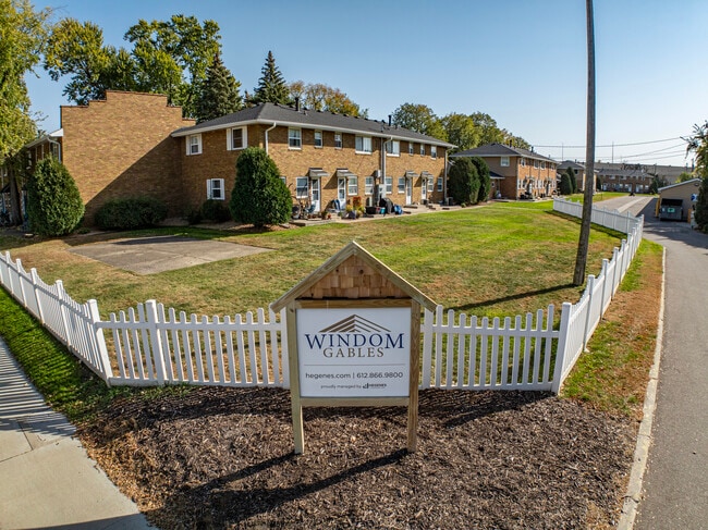
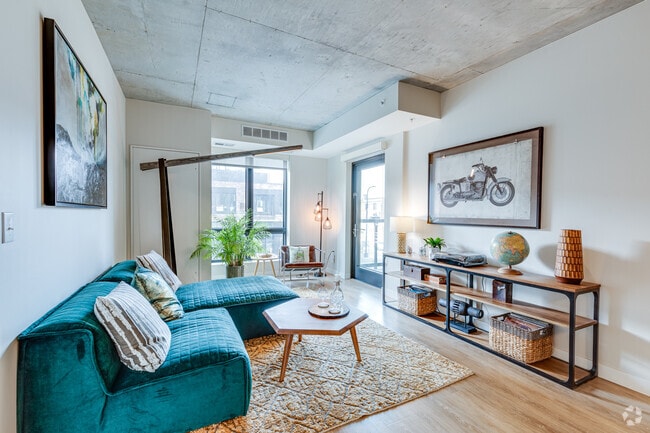
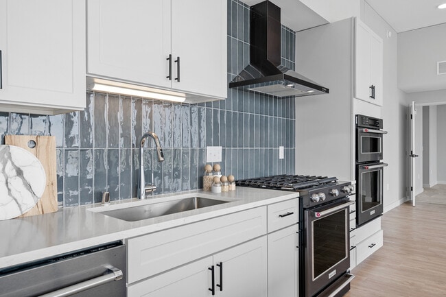
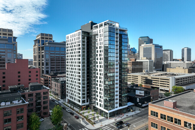
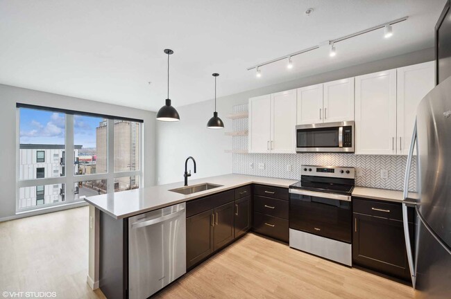
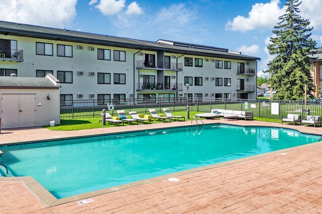
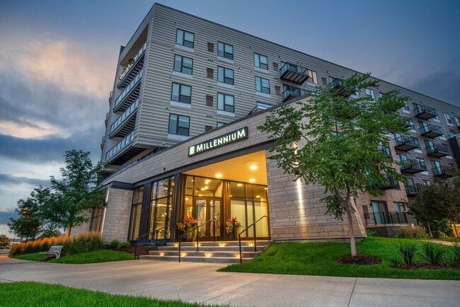
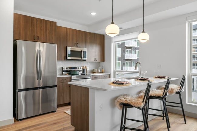
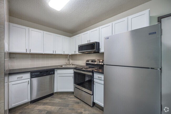
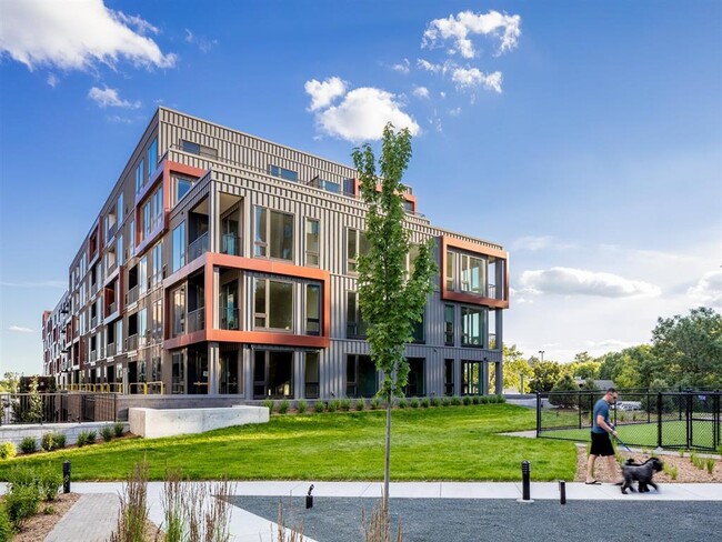
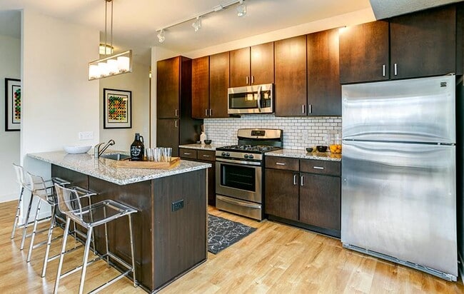
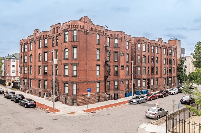
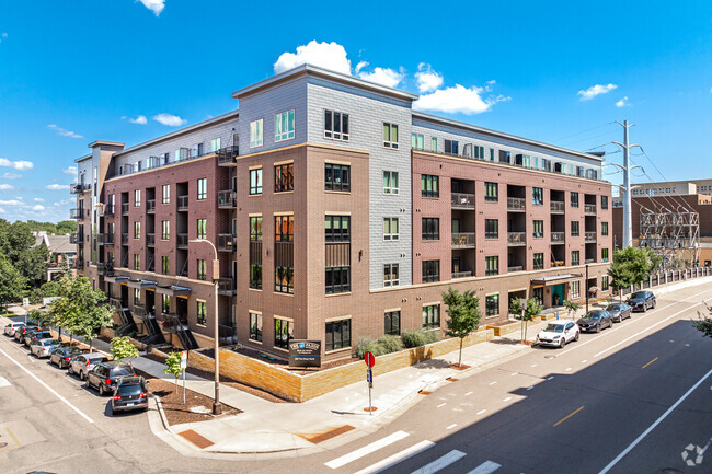
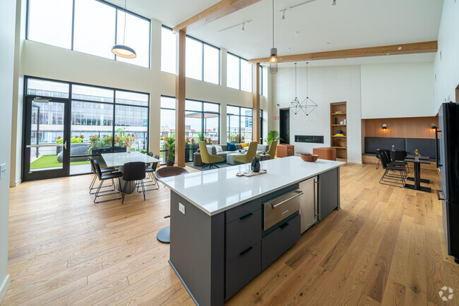
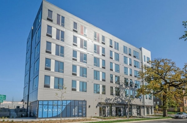
Pets Allowed Fitness Center Pool In Unit Washer & Dryer Walk-In Closets High-Speed Internet Controlled Access
Apartments for Rent in Minneapolis MN
8,284 Rentals Available
-
Studio$1,531+1 Bed$1,609+2 Beds$2,069+Total Monthly PriceTotal Monthly Price NewPrices include required monthly fees of $50.Base Rent:Studio$1,481+1 Bed$1,559+2 Beds$2,019+1 Month Free
-
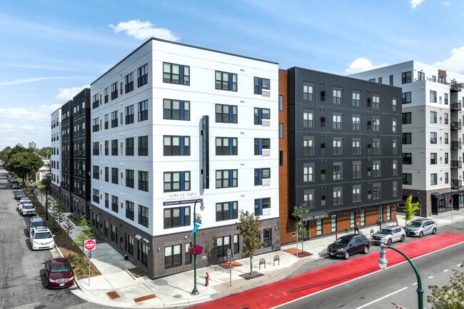
1 Bed$1,829+2 Beds$2,704+3 Beds$5,774+Total Monthly PriceTotal Monthly Price NewPrices include required monthly fees of $4.Base Rent:1 Bed$1,825+2 Beds$2,700+3 Beds$5,770+2 Months Free
Pets Allowed Fitness Center Pool Dishwasher Refrigerator Clubhouse Maintenance on site
-
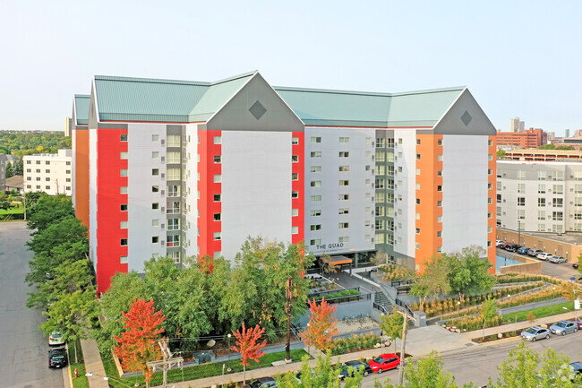
Studio$1,300+1 Bed$1,496+2 Beds$1,752+Total Monthly Price12 Month LeaseTotal Monthly Price NewPrices include all required monthly fees.1 Month Free
Pets Allowed Fitness Center Dishwasher Refrigerator Kitchen In Unit Washer & Dryer
-
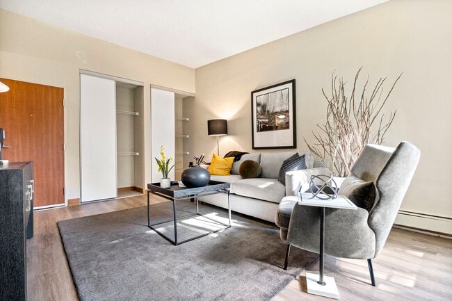
Studio$1,2791 Bed$1,329+2 Beds$1,894Total Monthly PriceTotal Monthly Price NewPrices include base rent and required monthly fees of $4. Variable costs based on usage may apply.Base Rent:Studio$1,2751 Bed$1,325+2 Beds$1,8901 Month Free
Pets Allowed Fitness Center Dishwasher Refrigerator Kitchen In Unit Washer & Dryer
-
Studio$1,336+1 Bed$1,536+2 Beds+$2,191+Total Monthly PriceTotal Monthly Price NewPrices include base rent and required monthly fees of $81. Variable costs based on usage may apply.Base Rent:Studio$1,255+1 Bed$1,455+2 Beds+$2,110+Specials
Pets Allowed Fitness Center Pool In Unit Washer & Dryer Clubhouse Controlled Access EV Charging
-
Studio$1,344+1 Bed$1,630+2 Beds+$1,932+Total Monthly PriceTotal Monthly Price NewPrices include required monthly fees of $15.Base Rent:Studio$1,329+1 Bed$1,615+2 Beds+$1,917+1 Month Free
Pets Allowed Fitness Center Pool In Unit Washer & Dryer Walk-In Closets Maintenance on site EV Charging
-
1 Bed$1,738+2 Beds$2,243+Total Monthly PriceTotal Monthly Price NewPrices include base rent and required monthly fees of $43. Variable costs based on usage may apply.Base Rent:1 Bed$1,695+2 Beds$2,200+4 Months Free
Pets Allowed Fitness Center In Unit Washer & Dryer Stainless Steel Appliances Package Service Elevator Rooftop Deck
-
-
-
1 / 62
-

Minneapolis Market Snapshot
Average 1-Bedroom Rent is $1,389/mo
Up 3% From Last Year
View More Minneapolis Rent Insights -
-
-
-
-
Studio$1,321+1 Bed$1,719+2 Beds$2,240+Total Monthly PriceTotal Monthly Price NewPrices include base rent and required monthly fees. Variable costs based on usage may apply.1 Month Free
Pets Allowed Fitness Center Package Service Granite Countertops
-
-
Studio$1,075+2 Beds$1,525+3 Beds+$2,142+Total Monthly PriceTotal Monthly Price NewPrices include base rent and required monthly fees. Variable costs based on usage may apply.2 Months Free
Pets Allowed Fitness Center Dishwasher Refrigerator Kitchen Walk-In Closets
-
-
-
-
-
-
-
-
-
2 Beds$1,249+Total Monthly Price12 Month LeaseTotal Monthly Price NewPrices include all required monthly fees.1 Month Free
Pets Allowed Dishwasher Balcony High-Speed Internet Stainless Steel Appliances Ceiling Fans Laundry Facilities
-
Studio$1,470+1 Bed$1,580+2 Beds$2,711+Total Monthly PriceTotal Monthly Price NewPrices include required monthly fees of $25.Base Rent:Studio$1,445+1 Bed$1,555+2 Beds$2,686+Specials
Pets Allowed Fitness Center Pool Dishwasher Refrigerator Kitchen
-
Studio$1,504+1 Bed$1,731+2 Beds$2,240+Total Monthly PriceTotal Monthly Price NewPrices include required monthly fees of $18.Base Rent:Studio$1,486+1 Bed$1,713+2 Beds$2,222+
Pets Allowed Fitness Center Pool Dishwasher Refrigerator Kitchen
-
1 Bed$1,245+Total Monthly PriceTotal Monthly Price NewPrices include required monthly fees of $100.Base Rent:1 Bed$1,145+Specials
Pets Allowed Dishwasher In Unit Washer & Dryer Balcony Package Service Controlled Access Fireplace
-
1 Bed$990+2 Beds$1,455Total Monthly Price1 Month LeaseTotal Monthly Price NewPrices include all required monthly fees.
Maintenance on site High-Speed Internet Package Service Hardwood Floors Elevator Laundry Facilities
-
Studio$1,446+1 Bed$1,652+2 Beds$2,225+Total Monthly PriceTotal Monthly Price NewPrices include base rent and required monthly fees of $4. Variable costs based on usage may apply.Base Rent:Studio$1,442+1 Bed$1,648+2 Beds$2,221+
Pets Allowed Fitness Center Pool Dishwasher Refrigerator Kitchen
-
Studio$1,585+1 Bed$1,725+2 Beds$2,160+Total Monthly PriceTotal Monthly Price NewPrices include required monthly fees of $10.Base Rent:Studio$1,575+1 Bed$1,715+2 Beds$2,150+Specials
Pets Allowed Fitness Center Kitchen Patio Stainless Steel Appliances Lounge Granite Countertops
-
Studio$1,556+1 Bed$2,028+2 Beds+$3,096+Total Monthly PriceTotal Monthly Price NewPrices include base rent and required monthly fees of $92. Variable costs based on usage may apply.Base Rent:Studio$1,464+1 Bed$1,936+2 Beds+$3,004+1 Month Free
Pets Allowed In Unit Washer & Dryer
-
Studio$1,412+1 Bed$1,437+2 Beds+$2,107+Total Monthly PriceTotal Monthly Price NewPrices include required monthly fees of $17.Base Rent:Studio$1,395+1 Bed$1,420+2 Beds+$2,090+
Pets Allowed Fitness Center In Unit Washer & Dryer Clubhouse High-Speed Internet Controlled Access Elevator
-
Studio$1,401+1 Bed$2,065+2 Beds$2,654+Total Monthly PriceTotal Monthly Price NewPrices include required monthly fees of $8.Base Rent:Studio$1,393+1 Bed$2,057+2 Beds$2,646+
Pets Allowed Pool Dishwasher In Unit Washer & Dryer Clubhouse Balcony
-
1 Bed$1,6352 Beds$1,925+Total Monthly Price12 Month LeaseTotal Monthly Price NewPrices include all required monthly fees.1 Month Free
Pets Allowed Dishwasher Refrigerator In Unit Washer & Dryer Walk-In Closets Balcony
-
1 Bed$1,695+2 Beds$2,150+Total Monthly PriceTotal Monthly Price NewPrices include required monthly fees of $100.Base Rent:1 Bed$1,595+2 Beds$2,050+1 Month Free
Pets Allowed Fitness Center Pool Dishwasher Refrigerator Kitchen
-
Studio$1,801+1 Bed$1,920+2 Beds$4,051+Total Monthly PriceTotal Monthly Price NewPrices include required monthly fees of $10.Base Rent:Studio$1,791+1 Bed$1,910+2 Beds$4,041+Discounts
Pets Allowed Fitness Center Pool Dishwasher Refrigerator Kitchen
-
Studio$1,260+1 Bed$1,580+Total Monthly PriceTotal Monthly Price NewPrices include all required monthly fees.2 Months Free
Pets Allowed Fitness Center Pool Kitchen Walk-In Closets Balcony Maintenance on site
-
Studio$1,225+1 Bed$1,975Total Monthly Price12 Month LeaseTotal Monthly Price NewPrices include required monthly fees of $75.Base Rent:Studio$1,150+1 Bed$1,900
Pets Allowed Walk-In Closets Elevator
-
Showing 40 of 700 Results - Page 1 of 18
Explore Rent Prices Near Minneapolis, MN
Minneapolis, MN’s average rent price is $1,630 per month. Compare rent prices and available listings in nearby cities to find better value or more options that fit your budget.
| Average Rent | |
|---|---|
| Lauderdale | $1,024 |
| Columbia Heights | $904 |
| Saint Anthony | $1,605 |
| Falcon Heights | $1,406 |
| Fridley | $1,306 |
Average Monthly Rent is calculated using the average rent of active one-bedroom apartment listings.
Minneapolis, MN Apartments for Rent
Minneapolis, known for its Chain of Lakes, offers natural areas and urban living. If you're exploring apartments for rent in Minneapolis, you'll find yourself surrounded by scenic parks and cultural attractions. The city's Uptown area is well-known, with dining options and boutiques. Whether you're enjoying a concert at First Avenue or catching a play at the Guthrie Theater, there's always something happening in this city.
For those looking to be near major employers, neighborhoods like Downtown East and the North Loop provide convenient access to the city's business district and are well-connected by the METRO Blue and Green Lines. If you prefer rentals close to the University of Minnesota, the nearby Marcy-Holmes neighborhood offers a mix of historic homes and contemporary apartments. Minneapolis also has a diverse food scene, with everything from cafes to international cuisine, especially around Nicollet Avenue, also known as Eat Street.
Whether you're drawn to the lakes, the arts, or the convenience of city life, Minneapolis has a lot to offer. Explore the range of apartments available and see what makes this city a place to call home.
Minneapolis, MN Rental Insights
-
Minneapolis, MN has decent transit along main routes.Expect to combine transit with rideshare, biking, or occasional driving.
-
Students renting in Minneapolis, MN have access to North Central University, University of St. Thomas, Minneapolis College, and Augsburg College.
