
110 Roy Apartments
110 Roy St,
Seattle, WA 98119
$1,945 - $5,495
Studio - 2 Beds

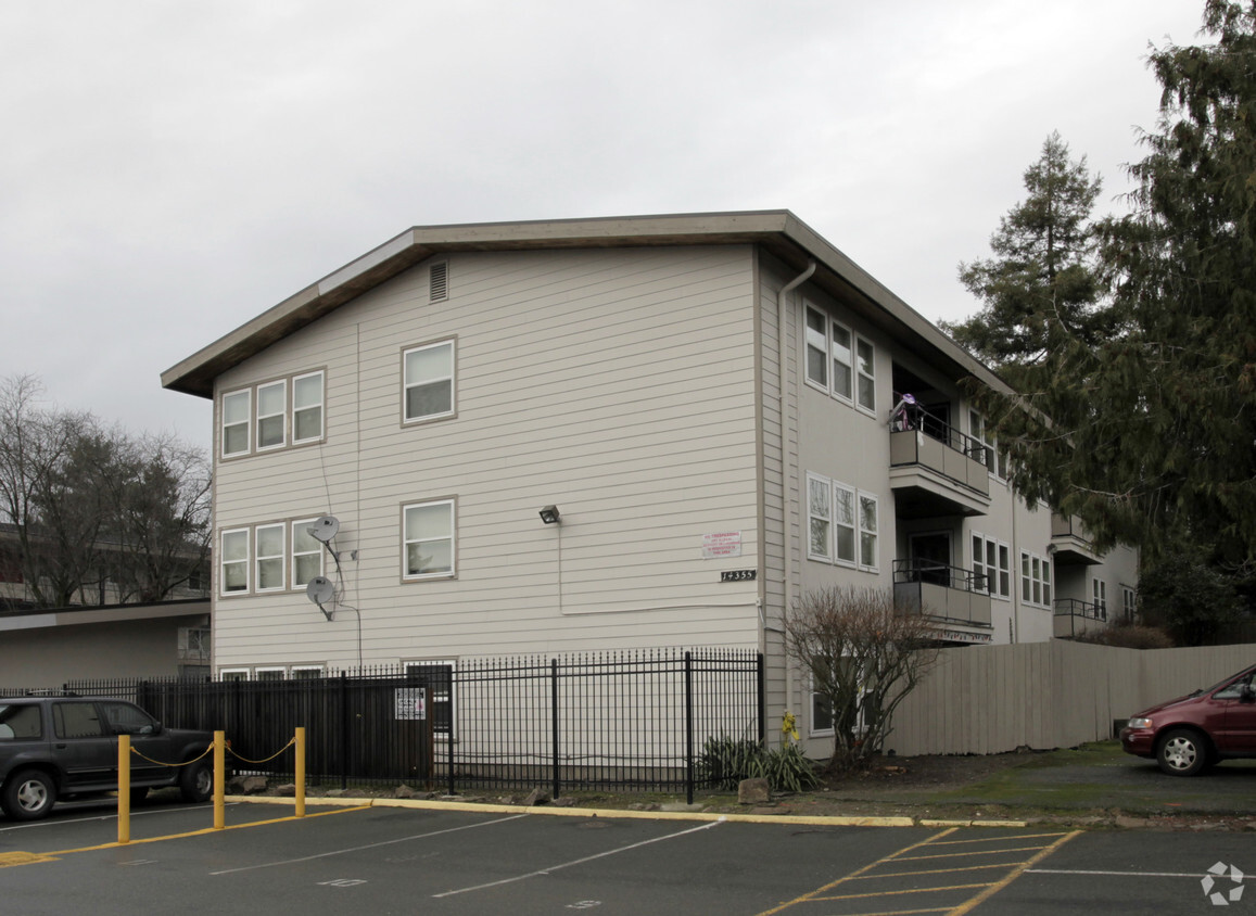
Discover your new home at 14349 32nd Ave NE. Here at this community, the leasing team is available to assist you in finding your perfect home. Make a visit to check out the apartment floorplan options. This community provides a wide selection of amenities and options like high-speed internet access, smoke free options, and rentable storage units. Come see 14349 32nd Ave NE today.
14349 32nd Ave NE is an apartment community located in King County and the 98125 ZIP Code. This area is served by the Seattle Public Schools attendance zone.
Dishwasher
High Speed Internet Access
Disposal
Smoke Free
Located about eight miles north of Downtown Seattle, the area of Lake City was once a railroad stop. It was named in 1906 and quickly developed into a suburb of Seattle. During Prohibition, the area was unincorporated. So when Seattle joined Prohibition, Lake City supplied the roadhouses and speakeasies barred from the nearby city. Lake City became a Seattle neighborhood in the mid-1950s. With Lake Washington as the neighborhood’s sparkling gem, residents are rediscovering this northern neighborhood.
Lake City stretches from the lake to roughly 15th Avenue in North Seattle. While the speakeasies are long gone, there are several popular destinations along Lake City Way, including HellBent Brewing Company Elliott Bay Public House & Brewery, Brother Barrel, and 2C Thai. If you are moving to Lake City with a pet, you’ll appreciate Dogwood Play Park, an indoor dog park and bar complete with a treat bar and birthday cakes for pet parties.
Learn more about living in Lake City| Colleges & Universities | Distance | ||
|---|---|---|---|
| Colleges & Universities | Distance | ||
| Drive: | 10 min | 4.1 mi | |
| Drive: | 10 min | 4.5 mi | |
| Drive: | 13 min | 5.6 mi | |
| Drive: | 14 min | 6.8 mi |


Transportation options available in Seattle include Shoreline South/148Th, located 1.6 miles from 14349 32nd Ave NE. 14349 32nd Ave NE is near Seattle Paine Field International, located 15.9 miles or 25 minutes away, and Seattle-Tacoma International, located 24.6 miles or 37 minutes away.
| Transit / Subway | Distance | ||
|---|---|---|---|
| Transit / Subway | Distance | ||
| Drive: | 4 min | 1.6 mi | |
| Drive: | 6 min | 3.6 mi | |
| Drive: | 9 min | 4.1 mi | |
| Drive: | 8 min | 5.1 mi | |
| Drive: | 11 min | 6.0 mi |
| Commuter Rail | Distance | ||
|---|---|---|---|
| Commuter Rail | Distance | ||
|
|
Drive: | 19 min | 9.7 mi |
|
|
Drive: | 18 min | 11.4 mi |
|
|
Drive: | 31 min | 18.8 mi |
|
|
Drive: | 31 min | 21.0 mi |
|
|
Drive: | 33 min | 23.1 mi |
| Airports | Distance | ||
|---|---|---|---|
| Airports | Distance | ||
|
Seattle Paine Field International
|
Drive: | 25 min | 15.9 mi |
|
Seattle-Tacoma International
|
Drive: | 37 min | 24.6 mi |
Time and distance from 14349 32nd Ave NE.
| Shopping Centers | Distance | ||
|---|---|---|---|
| Shopping Centers | Distance | ||
| Walk: | 18 min | 0.9 mi | |
| Walk: | 18 min | 1.0 mi | |
| Drive: | 3 min | 1.2 mi |
| Parks and Recreation | Distance | ||
|---|---|---|---|
| Parks and Recreation | Distance | ||
|
Paramount Park Open Space
|
Drive: | 4 min | 1.5 mi |
|
Paramount School Park
|
Drive: | 4 min | 1.8 mi |
|
Hamlin Park
|
Drive: | 6 min | 2.1 mi |
|
Twin Ponds Park
|
Drive: | 5 min | 2.1 mi |
|
Northcrest Park
|
Drive: | 6 min | 2.5 mi |
| Hospitals | Distance | ||
|---|---|---|---|
| Hospitals | Distance | ||
| Drive: | 8 min | 3.8 mi | |
| Drive: | 16 min | 5.2 mi | |
| Drive: | 13 min | 7.4 mi |
| Military Bases | Distance | ||
|---|---|---|---|
| Military Bases | Distance | ||
| Drive: | 28 min | 10.9 mi | |
| Drive: | 76 min | 31.1 mi |
What Are Walk Score®, Transit Score®, and Bike Score® Ratings?
Walk Score® measures the walkability of any address. Transit Score® measures access to public transit. Bike Score® measures the bikeability of any address.
What is a Sound Score Rating?
A Sound Score Rating aggregates noise caused by vehicle traffic, airplane traffic and local sources
14349 32nd Ave NE
Seattle, WA 98125


