

1 Bed
$4,024+
2 Beds
$4,205+
3 Beds
$6,802+
Total Monthly Price
Total Monthly Price
New
Prices include required monthly fees of $10 - $15.
Base Rent:
1 Bed
$4,014+
2 Beds
$4,195+
3 Beds
$6,792
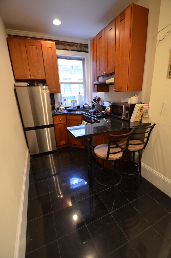
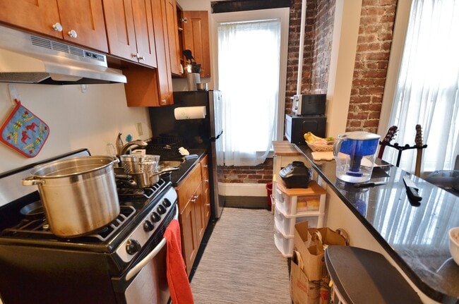
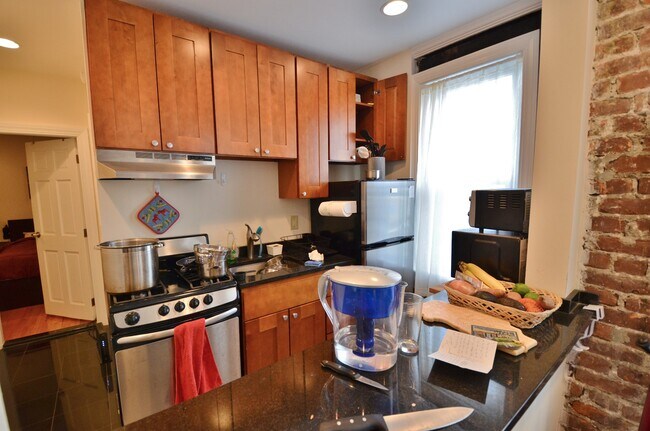
Pets Allowed Fitness Center In Unit Washer & Dryer Balcony High-Speed Internet Stainless Steel Appliances


