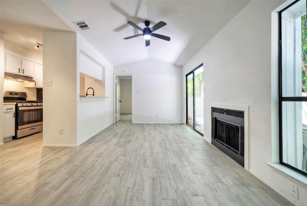
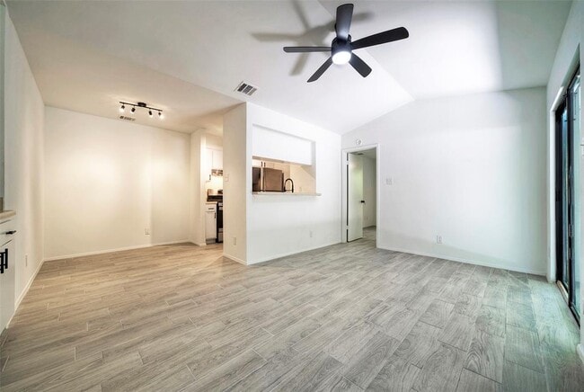
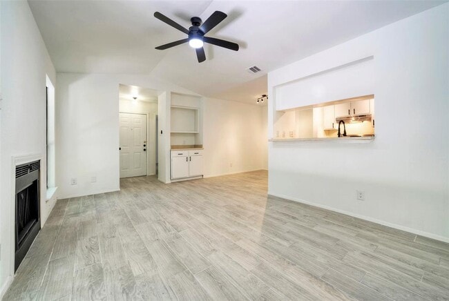
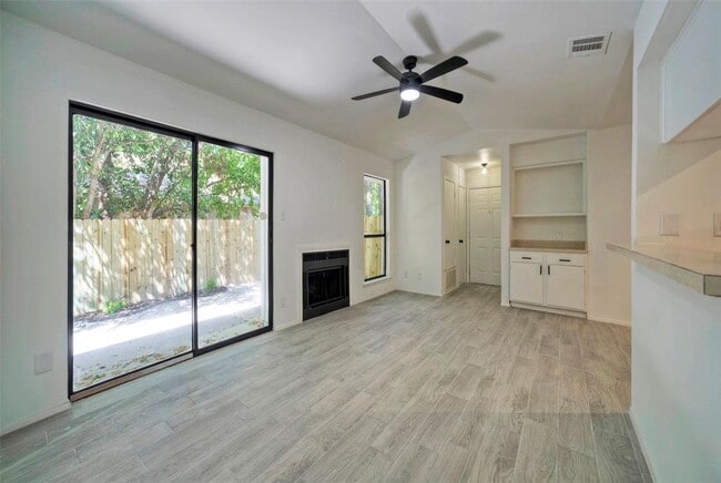


2 Beds
$1,131+
Total Monthly Price
Total Monthly Price
New
Prices include base rent and required monthly fees of $62. Variable costs based on usage may apply.
Base Rent:
2 Beds
$1,069+
Specials
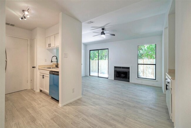
Dishwasher In Unit Washer & Dryer


