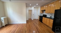
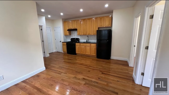
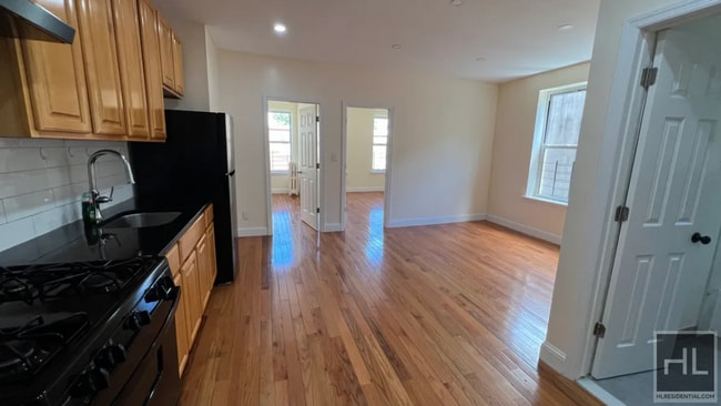
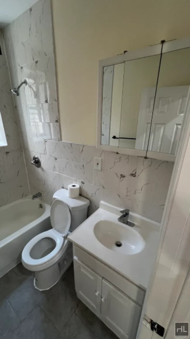
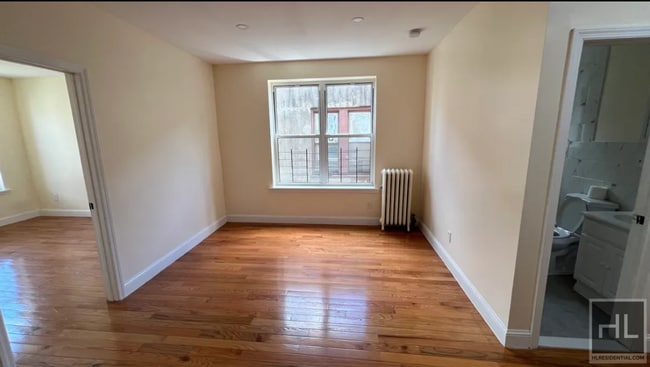
673 Watkins St Unit 2
Brooklyn, NY 11212
-
Bedrooms
3
-
Bathrooms
1
-
Square Feet
--
-
Available
Available Now

About This Home
Description coming soon, please contact your Highline Residential agent for more information ===Ref:2349802===
WATKINS STREET is an apartment community located in Kings County and the 11212 ZIP Code.
Contact
- Phone Number
- Website View Property Website
- Contact
-
Source

Brownsville is a residential neighborhood located about 19 miles southeast of Manhattan in the borough of Brooklyn. Renters appreciate the neighborhood’s affordable housing and accessibility to the city. Several famous people once called Brownsville home, including the Three Stooges. Brownsville boasts walkable streets and excellent access to public transportation. This close-knit community boasts a family-friendly vibe with access to several community parks like Betsy Head Park. Residents live next to the heart of Brooklyn, making Brownsville a great place for commuters.
Learn more about living in Brownsville| Colleges & Universities | Distance | ||
|---|---|---|---|
| Colleges & Universities | Distance | ||
| Drive: | 10 min | 3.4 mi | |
| Drive: | 10 min | 3.9 mi | |
| Drive: | 15 min | 5.0 mi | |
| Drive: | 14 min | 5.2 mi |
Transportation options available in Brooklyn include New Lots Av, located 0.4 mile from WATKINS STREET. WATKINS STREET is near John F Kennedy International, located 8.9 miles or 14 minutes away, and LaGuardia, located 10.3 miles or 25 minutes away.
| Transit / Subway | Distance | ||
|---|---|---|---|
| Transit / Subway | Distance | ||
| Walk: | 8 min | 0.4 mi | |
|
|
Walk: | 12 min | 0.6 mi |
| Walk: | 12 min | 0.7 mi | |
| Drive: | 4 min | 1.2 mi | |
| Drive: | 5 min | 1.5 mi |
| Commuter Rail | Distance | ||
|---|---|---|---|
| Commuter Rail | Distance | ||
|
|
Drive: | 5 min | 2.0 mi |
|
|
Drive: | 11 min | 4.0 mi |
|
|
Drive: | 14 min | 5.6 mi |
|
|
Drive: | 16 min | 6.8 mi |
|
|
Drive: | 17 min | 6.8 mi |
| Airports | Distance | ||
|---|---|---|---|
| Airports | Distance | ||
|
John F Kennedy International
|
Drive: | 14 min | 8.9 mi |
|
LaGuardia
|
Drive: | 25 min | 10.3 mi |
Time and distance from WATKINS STREET.
| Shopping Centers | Distance | ||
|---|---|---|---|
| Shopping Centers | Distance | ||
| Drive: | 4 min | 1.3 mi | |
| Drive: | 3 min | 1.4 mi | |
| Drive: | 4 min | 1.5 mi |
| Parks and Recreation | Distance | ||
|---|---|---|---|
| Parks and Recreation | Distance | ||
|
Betsy Head Memorial Playground
|
Walk: | 19 min | 1.0 mi |
|
Linden Playground
|
Drive: | 3 min | 1.3 mi |
|
Fresh Creek Park
|
Drive: | 6 min | 2.2 mi |
|
Canarsie Park
|
Drive: | 7 min | 2.5 mi |
|
Highland Park Childrens Garden
|
Drive: | 7 min | 2.8 mi |
| Hospitals | Distance | ||
|---|---|---|---|
| Hospitals | Distance | ||
| Walk: | 9 min | 0.5 mi | |
| Drive: | 5 min | 1.9 mi | |
| Drive: | 6 min | 2.1 mi |
| Military Bases | Distance | ||
|---|---|---|---|
| Military Bases | Distance | ||
| Drive: | 15 min | 7.0 mi | |
| Drive: | 23 min | 8.5 mi |
You May Also Like
What Are Walk Score®, Transit Score®, and Bike Score® Ratings?
Walk Score® measures the walkability of any address. Transit Score® measures access to public transit. Bike Score® measures the bikeability of any address.
What is a Sound Score Rating?
A Sound Score Rating aggregates noise caused by vehicle traffic, airplane traffic and local sources

673 Watkins St
Brooklyn, NY 11212