
The Dylan
2200 John Muir Pky,
Hercules, CA 94547
Studio - 2 Beds $2,347 - $4,110
Tax Credit Property
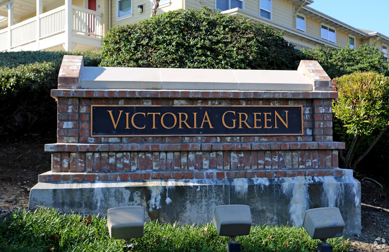
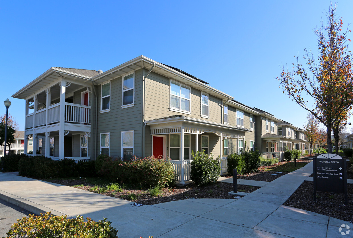
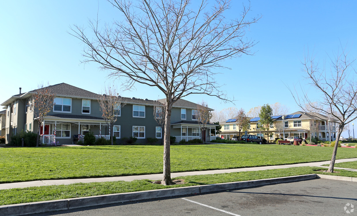
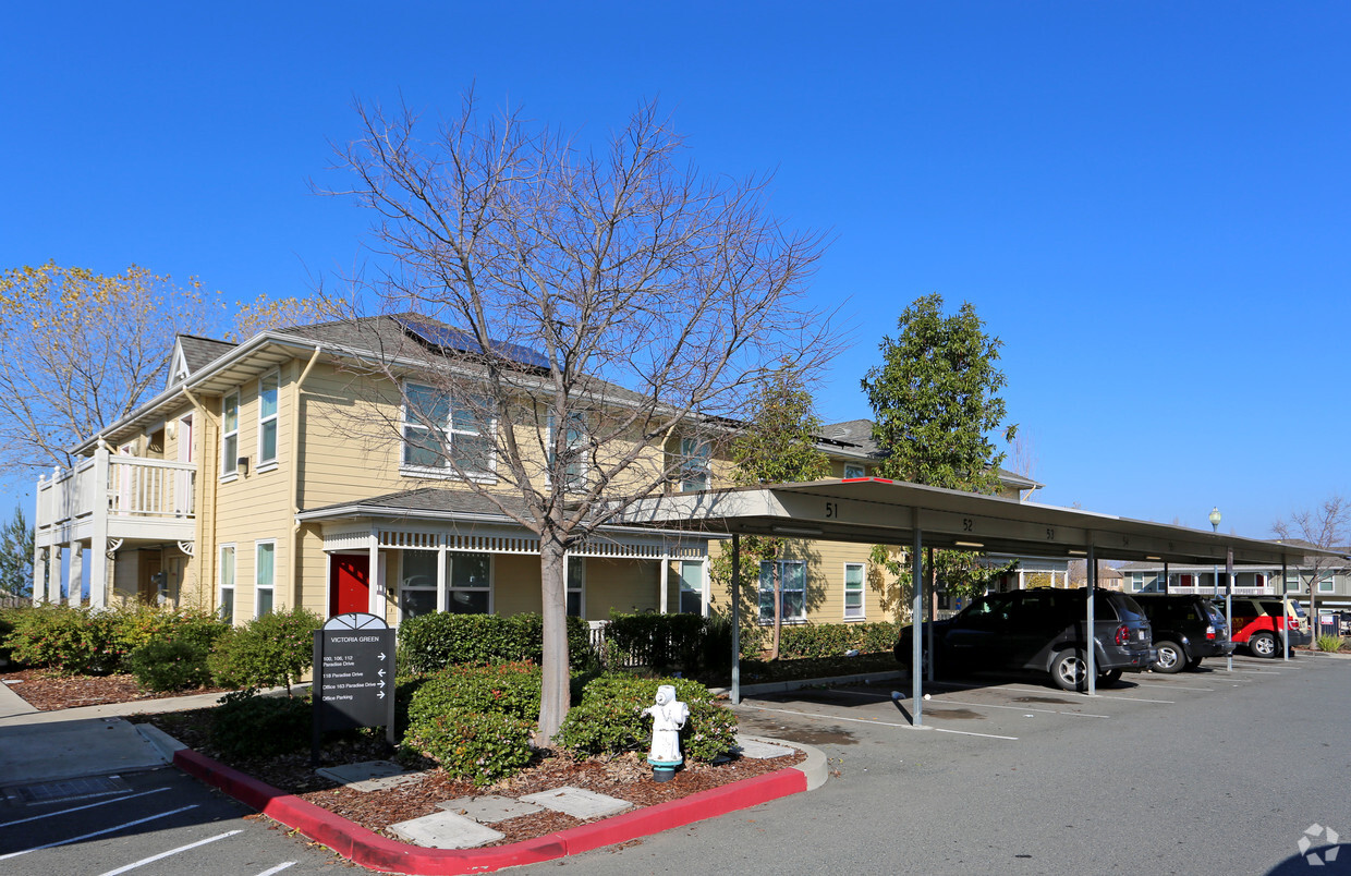
Victoria Green is an apartment community located in Contra Costa County and the 94547 ZIP Code. This area is served by the West Contra Costa Unified attendance zone.
Laundry Facilities
Playground
Clubhouse
Business Center
Air Conditioning
High Speed Internet Access
Smoke Free
Kitchen
Located midway between San Francisco and Napa along the coast of San Pablo Bay, Hercules is a stunning waterfront community with a small-town atmosphere, diverse population, and innovative plans for the future. Among Hercules’ exciting planned developments are a new waterfront, town center, and a train and ferry terminal.
Convenience to the San Pablo Bay as well as a host of parks, trails, and athletic programs allows for plenty of recreational activities in Hercules. A peaceful reprieve from city life, Hercules offers residents picturesque homes in quiet neighborhoods with dazzling views of the bay. Shopping opportunities abound at the nearby Shops at Hilltop in addition to several plazas and shopping centers in town. Getting around from Hercules is easy with access to Interstate 80 and State Route 4.
Learn more about living in Hercules| Colleges & Universities | Distance | ||
|---|---|---|---|
| Colleges & Universities | Distance | ||
| Drive: | 11 min | 6.3 mi | |
| Drive: | 22 min | 11.8 mi | |
| Drive: | 23 min | 15.4 mi | |
| Drive: | 27 min | 16.4 mi |


Transportation options available in Hercules include El Cerrito Del Norte, located 9.5 miles from Victoria Green. Victoria Green is near Metro Oakland International, located 28.4 miles or 38 minutes away, and San Francisco International, located 36.0 miles or 51 minutes away.
| Transit / Subway | Distance | ||
|---|---|---|---|
| Transit / Subway | Distance | ||
|
|
Drive: | 14 min | 9.5 mi |
|
|
Drive: | 14 min | 9.5 mi |
|
|
Drive: | 15 min | 9.7 mi |
|
|
Drive: | 16 min | 11.3 mi |
| Commuter Rail | Distance | ||
|---|---|---|---|
| Commuter Rail | Distance | ||
| Drive: | 15 min | 9.9 mi | |
|
|
Drive: | 17 min | 12.0 mi |
|
|
Drive: | 19 min | 14.0 mi |
|
|
Drive: | 21 min | 15.8 mi |
| Drive: | 39 min | 26.6 mi |
| Airports | Distance | ||
|---|---|---|---|
| Airports | Distance | ||
|
Metro Oakland International
|
Drive: | 38 min | 28.4 mi |
|
San Francisco International
|
Drive: | 51 min | 36.0 mi |
Time and distance from Victoria Green.
| Shopping Centers | Distance | ||
|---|---|---|---|
| Shopping Centers | Distance | ||
| Walk: | 15 min | 0.8 mi | |
| Walk: | 18 min | 0.9 mi | |
| Drive: | 3 min | 1.2 mi |
| Parks and Recreation | Distance | ||
|---|---|---|---|
| Parks and Recreation | Distance | ||
|
Ohlone Wilderness
|
Drive: | 4 min | 1.6 mi |
|
Fernandez Ranch
|
Drive: | 7 min | 4.6 mi |
|
Crockett Hills Regional Park
|
Drive: | 8 min | 4.9 mi |
|
Sobrante Ridge Regional Preserve
|
Drive: | 14 min | 6.6 mi |
|
Carquinez Strait Regional Shoreline
|
Drive: | 13 min | 7.1 mi |
| Hospitals | Distance | ||
|---|---|---|---|
| Hospitals | Distance | ||
| Drive: | 15 min | 9.8 mi | |
| Drive: | 15 min | 10.5 mi | |
| Drive: | 16 min | 10.6 mi |
| Military Bases | Distance | ||
|---|---|---|---|
| Military Bases | Distance | ||
| Drive: | 11 min | 7.0 mi | |
| Drive: | 20 min | 11.2 mi |
What Are Walk Score®, Transit Score®, and Bike Score® Ratings?
Walk Score® measures the walkability of any address. Transit Score® measures access to public transit. Bike Score® measures the bikeability of any address.
What is a Sound Score Rating?
A Sound Score Rating aggregates noise caused by vehicle traffic, airplane traffic and local sources

163 Paradise Dr
Hercules, CA 94547


")


