
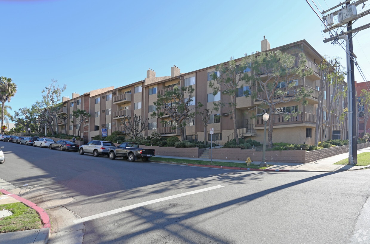
Venue Residences
3688 Overland Ave,
Los Angeles, CA 90034
$2,695 - $5,995
Studio - 2 Beds


At The SunDial Century in Los Angeles, CA, find your new home. The address for this community is in Los Angeles on Eastborne Ave in the 90024 area. The leasing staff is excited to help you find your perfect apartment. Make a visit to check out the apartment floorplan options. Contact us or drop by to find out current pricing and find your new place at The SunDial Century.
The SunDial Century is an apartment community located in Los Angeles County and the 90024 ZIP Code. This area is served by the Los Angeles Unified Rocp School District attendance zone.
Home to UCLA, Westwood lies on the west side of the city and is considered to be one of Los Angeles’ premier neighborhoods. Bordered by Beverly Hills, Bel Air, Brentwood, and Century City, multimillion dollar homes populate the landscape and students pay a premium to rent near campus.
The university itself serves as a major cultural center for the community, including on-campus attractions (such as the Fowler Museum and the Franklin D. Murphy Sculpture Garden) and university-affiliated venues off-campus (The Hammer Museum, the Geffen Playhouse), as well as the presence of thousands of students and faculty members throughout the neighborhood.
Directly south of campus, Westwood Village is a historic shopping district that features blocks of restaurants and businesses catering to both students and the neighborhood’s larger workforce. Many prominent corporations and law offices are found along Wilshire Boulevard, one of the busiest east-west transit corridors across the city.
Learn more about living in WestwoodCompare neighborhood and city base rent averages by bedroom.
| Westwood | Los Angeles, CA | |
|---|---|---|
| Studio | $2,084 | $1,708 |
| 1 Bedroom | $2,868 | $2,181 |
| 2 Bedrooms | $4,045 | $3,008 |
| 3 Bedrooms | $5,973 | $4,290 |
| Colleges & Universities | Distance | ||
|---|---|---|---|
| Colleges & Universities | Distance | ||
| Drive: | 6 min | 2.2 mi | |
| Drive: | 9 min | 3.3 mi | |
| Drive: | 10 min | 4.0 mi | |
| Drive: | 10 min | 4.1 mi |


Transportation options available in Los Angeles include Westwood/Rancho Park, located 2.0 miles from The SunDial Century. The SunDial Century is near Los Angeles International, located 10.5 miles or 18 minutes away, and Bob Hope, located 18.9 miles or 28 minutes away.
| Transit / Subway | Distance | ||
|---|---|---|---|
| Transit / Subway | Distance | ||
|
|
Drive: | 5 min | 2.0 mi |
| Drive: | 5 min | 2.1 mi | |
|
|
Drive: | 8 min | 3.0 mi |
|
|
Drive: | 7 min | 3.7 mi |
|
|
Drive: | 9 min | 4.1 mi |
| Commuter Rail | Distance | ||
|---|---|---|---|
| Commuter Rail | Distance | ||
|
|
Drive: | 25 min | 12.8 mi |
|
|
Drive: | 27 min | 13.2 mi |
|
|
Drive: | 22 min | 13.8 mi |
|
|
Drive: | 22 min | 15.3 mi |
|
|
Drive: | 28 min | 18.9 mi |
| Airports | Distance | ||
|---|---|---|---|
| Airports | Distance | ||
|
Los Angeles International
|
Drive: | 18 min | 10.5 mi |
|
Bob Hope
|
Drive: | 28 min | 18.9 mi |
Scores provided by
Traffic
-Airport
-Businesses
-Scores provided by
HowLoud What is a Sound Score Rating? A Sound Score Rating aggregates noise caused by vehicle traffic, airplane traffic and local sources. How It WorksTime and distance from The SunDial Century.
| Shopping Centers | Distance | ||
|---|---|---|---|
| Shopping Centers | Distance | ||
| Walk: | 10 min | 0.6 mi | |
| Walk: | 16 min | 0.8 mi | |
| Walk: | 16 min | 0.9 mi |
| Parks and Recreation | Distance | ||
|---|---|---|---|
| Parks and Recreation | Distance | ||
|
Mathias Botanical Garden
|
Drive: | 5 min | 1.7 mi |
|
Hannah Carter Japanese Garden
|
Drive: | 7 min | 2.8 mi |
|
Virginia Robinson Gardens
|
Drive: | 9 min | 3.2 mi |
|
Zimmer Children's Museum
|
Drive: | 9 min | 3.9 mi |
|
La Brea Tar Pits
|
Drive: | 10 min | 4.6 mi |
| Hospitals | Distance | ||
|---|---|---|---|
| Hospitals | Distance | ||
| Drive: | 6 min | 2.1 mi | |
| Drive: | 6 min | 2.2 mi | |
| Drive: | 8 min | 3.5 mi |
| Military Bases | Distance | ||
|---|---|---|---|
| Military Bases | Distance | ||
| Drive: | 18 min | 13.0 mi | |
| Drive: | 40 min | 29.8 mi | |
| Drive: | 44 min | 32.0 mi |
Pets Allowed In Unit Washer & Dryer Maintenance on site Heat Controlled Access Elevator
Pets Allowed Fitness Center Pool Maintenance on site High-Speed Internet Controlled Access EV Charging
What Are Walk Score®, Transit Score®, and Bike Score® Ratings?
Walk Score® measures the walkability of any address. Transit Score® measures access to public transit. Bike Score® measures the bikeability of any address.
What is a Sound Score Rating?
A Sound Score Rating aggregates noise caused by vehicle traffic, airplane traffic and local sources.
10480 Eastborne Ave
Los Angeles, CA 90024


