
Lincoln Landing
22335 Foothill Blvd,
Hayward, CA 94541
$2,404 - $4,489 Total Monthly Price
Studio - 3 Beds
Bedrooms
1 - 2 bd
Bathrooms
1 ba
Square Feet
619 - 999 sq ft
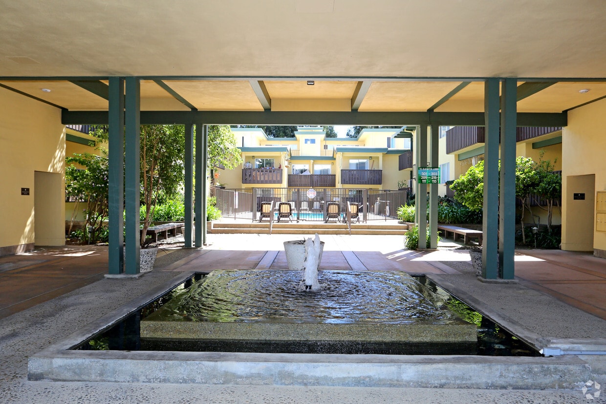
The Cedars is a quiet apartment home community well located in Castro Valley. With easy access to I-580, I-238, and the Castro Valley BART Station, our residents enjoy living minutes away from employment centers in Pleasanton, Oakland, and the greater San Francisco Bay Area. Our community is also a short walk or drive to plenty of neighborhood necessities such as shopping (Safeway, Trader Joe's, Lucky), banking (Wells Fargo, Bank of America, Bank of the West), and dining.
The Cedars is a quiet apartment home community well located in Castro Valley. With easy access to I-580, I-238, and the Castro Valley BART Station, our residents enjoy living minutes away from employment centers in Pleasanton, Oakland, and the greater San Francisco Bay Area. Our community is also a short walk or drive to plenty of neighborhood necessities such as shopping (Safeway, Trader Joe's, Lucky), banking (Wells Fargo, Bank of America, Bank of the West), and dining.
The Cedars is an apartment community located in Alameda County and the 94546 ZIP Code. This area is served by the Hayward Unified School District attendance zone.
Unique Features
Pool
Fitness Center
Laundry Facilities
Elevator
Air Conditioning
Dishwasher
High Speed Internet Access
Walk-In Closets
Yard
Microwave
Refrigerator
Disposal
Nestled in the rolling hills of Alameda County, Castro Valley is named after 19th-century Californio ranchero Guillermo Castro, who once owned the land the community sits on today. With a population of around 66,000, it ranks among the most populous unincorporated areas in California. Renters searching for apartments for rent in Castro Valley will find a community that offers easy access to the broader Bay Area while maintaining a quieter, more residential feel than nearby urban centers.
Renters in Castro Valley can choose from a mix of apartment communities, condos, townhomes, and single-family houses for rent. Castro Valley Boulevard is the main commercial corridor, lined with local shops, restaurants, and everyday services. The nearby Bayfair Center adds major retail options along with a movie theater and dining.
Learn more about living in Castro Valley| Colleges & Universities | Distance | ||
|---|---|---|---|
| Colleges & Universities | Distance | ||
| Drive: | 10 min | 4.2 mi | |
| Drive: | 13 min | 5.8 mi | |
| Drive: | 20 min | 12.2 mi | |
| Drive: | 21 min | 13.4 mi |


Transportation options available in Castro Valley include Castro Valley, located 2.1 miles from The Cedars. The Cedars is near Metro Oakland International, located 11.4 miles or 17 minutes away, and San Francisco International, located 25.2 miles or 35 minutes away.
| Transit / Subway | Distance | ||
|---|---|---|---|
| Transit / Subway | Distance | ||
|
|
Drive: | 4 min | 2.1 mi |
|
|
Drive: | 5 min | 2.4 mi |
|
|
Drive: | 10 min | 5.2 mi |
|
|
Drive: | 13 min | 5.4 mi |
|
|
Drive: | 14 min | 8.7 mi |
| Commuter Rail | Distance | ||
|---|---|---|---|
| Commuter Rail | Distance | ||
|
|
Drive: | 7 min | 3.1 mi |
| Drive: | 7 min | 3.1 mi | |
| Drive: | 21 min | 12.2 mi | |
| Drive: | 22 min | 12.4 mi | |
| Drive: | 18 min | 12.9 mi |
| Airports | Distance | ||
|---|---|---|---|
| Airports | Distance | ||
|
Metro Oakland International
|
Drive: | 17 min | 11.4 mi |
|
San Francisco International
|
Drive: | 35 min | 25.2 mi |
Scores provided by
Traffic
ActiveAirport
CalmBusinesses
ActiveScores provided by
HowLoud What is a Sound Score Rating? A Sound Score Rating aggregates noise caused by vehicle traffic, airplane traffic and local sources. How It WorksTime and distance from The Cedars.
| Shopping Centers | Distance | ||
|---|---|---|---|
| Shopping Centers | Distance | ||
| Walk: | 6 min | 0.4 mi | |
| Walk: | 8 min | 0.5 mi |
| Parks and Recreation | Distance | ||
|---|---|---|---|
| Parks and Recreation | Distance | ||
|
Don Castro Regional Recreation Area
|
Walk: | 10 min | 0.5 mi |
|
Sulphur Creek Nature Center
|
Drive: | 7 min | 2.0 mi |
|
Cull Canyon Regional Recreation Area
|
Drive: | 6 min | 2.1 mi |
|
Lake Chabot Regional Park
|
Drive: | 9 min | 3.8 mi |
|
Pleasanton Ridge Regional Park
|
Drive: | 12 min | 6.1 mi |
| Hospitals | Distance | ||
|---|---|---|---|
| Hospitals | Distance | ||
| Drive: | 8 min | 4.6 mi | |
| Drive: | 12 min | 5.7 mi | |
| Drive: | 12 min | 7.7 mi |
| Military Bases | Distance | ||
|---|---|---|---|
| Military Bases | Distance | ||
| Drive: | 29 min | 18.9 mi | |
| Drive: | 29 min | 19.0 mi | |
| Drive: | 30 min | 19.1 mi |
Pets Allowed Fitness Center In Unit Washer & Dryer Walk-In Closets Stainless Steel Appliances Hardwood Floors EV Charging
Pets Allowed Fitness Center In Unit Washer & Dryer Stainless Steel Appliances Business Center Package Service Elevator
What Are Walk Score®, Transit Score®, and Bike Score® Ratings?
Walk Score® measures the walkability of any address. Transit Score® measures access to public transit. Bike Score® measures the bikeability of any address.
What is a Sound Score Rating?
A Sound Score Rating aggregates noise caused by vehicle traffic, airplane traffic and local sources.

22240-22302 Center St
Castro Valley, CA 94546


