
Envy by Gomes
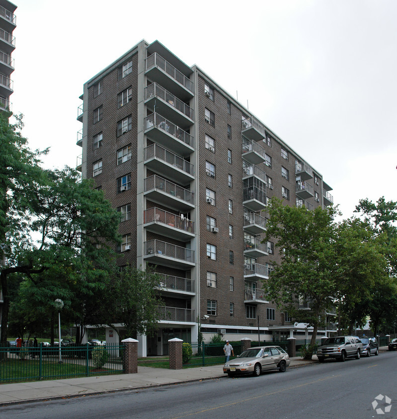
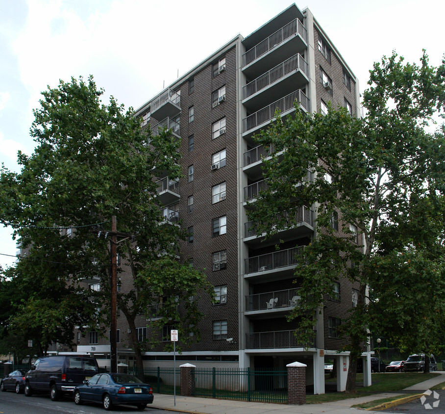
58-84 Norfolk St,
Newark, NJ 07103
$2,000 - $2,815
1-2 Beds
Located just three miles north of Downtown Newark, the Upper Roseville area offers an array of affordable apartments for rent. Mass transit makes commuting simple. The Newark light rail will bring you to Midtown Manhattan in just an hour. Branch Brook Park sits next to the neighborhood, offering its famous cherry trees. The park also offers a playground, basketball and tennis courts, and ball fields. Be sure to check out the annual summer concert by the New Jersey Symphony Orchestra at the park. A variety of cuisines can be found in this charming neighborhood like Calandra’s Bakery.
Learn more about living in Upper Roseville| Colleges & Universities | Distance | ||
|---|---|---|---|
| Colleges & Universities | Distance | ||
| Drive: | 4 min | 2.0 mi | |
| Drive: | 5 min | 2.6 mi | |
| Drive: | 6 min | 2.8 mi | |
| Drive: | 6 min | 3.1 mi |


Transportation options available in Newark include Davenport Avenue, located 0.4 mile from Stephen Crane Elderly Apartments. Stephen Crane Elderly Apartments is near Newark Liberty International, located 8.5 miles or 14 minutes away, and LaGuardia, located 28.6 miles or 44 minutes away.
| Transit / Subway | Distance | ||
|---|---|---|---|
| Transit / Subway | Distance | ||
|
|
Walk: | 7 min | 0.4 mi |
|
|
Walk: | 8 min | 0.4 mi |
|
|
Walk: | 8 min | 0.4 mi |
|
|
Walk: | 16 min | 0.8 mi |
|
|
Drive: | 3 min | 1.3 mi |
| Commuter Rail | Distance | ||
|---|---|---|---|
| Commuter Rail | Distance | ||
|
|
Drive: | 3 min | 1.6 mi |
|
|
Drive: | 4 min | 1.9 mi |
|
|
Drive: | 5 min | 2.5 mi |
|
|
Drive: | 5 min | 2.5 mi |
|
|
Drive: | 6 min | 3.2 mi |
| Airports | Distance | ||
|---|---|---|---|
| Airports | Distance | ||
|
Newark Liberty International
|
Drive: | 14 min | 8.5 mi |
|
LaGuardia
|
Drive: | 44 min | 28.6 mi |
Time and distance from Stephen Crane Elderly Apartments.
| Shopping Centers | Distance | ||
|---|---|---|---|
| Shopping Centers | Distance | ||
| Walk: | 11 min | 0.6 mi | |
| Walk: | 14 min | 0.7 mi | |
| Drive: | 3 min | 1.3 mi |
| Parks and Recreation | Distance | ||
|---|---|---|---|
| Parks and Recreation | Distance | ||
|
Branch Brook Park
|
Drive: | 4 min | 1.5 mi |
|
Newark Museum and Dreyfuss Planetarium
|
Drive: | 5 min | 2.7 mi |
|
Richard W. DeKorte Park
|
Drive: | 12 min | 4.7 mi |
|
Kearny Marsh
|
Drive: | 10 min | 4.8 mi |
|
Edison National Historic Site
|
Drive: | 10 min | 4.9 mi |
| Hospitals | Distance | ||
|---|---|---|---|
| Hospitals | Distance | ||
| Drive: | 5 min | 2.6 mi | |
| Drive: | 6 min | 3.0 mi | |
| Drive: | 7 min | 3.6 mi |
| Military Bases | Distance | ||
|---|---|---|---|
| Military Bases | Distance | ||
| Drive: | 20 min | 12.3 mi | |
| Drive: | 30 min | 14.3 mi | |
| Drive: | 35 min | 20.4 mi |
What Are Walk Score®, Transit Score®, and Bike Score® Ratings?
Walk Score® measures the walkability of any address. Transit Score® measures access to public transit. Bike Score® measures the bikeability of any address.
What is a Sound Score Rating?
A Sound Score Rating aggregates noise caused by vehicle traffic, airplane traffic and local sources


