
52 TEN
5210 N Lamar Blvd,
Austin, TX 78751
$1,412 - $3,326
Studio - 3 Beds
Bedrooms
2 - 4 bd
Bathrooms
2 ba
Square Feet
950 - 1,216 sq ft
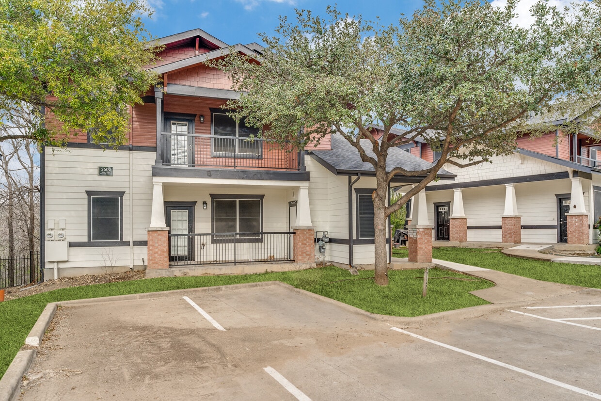
iscover affordable urban living at Sotol Riverside in Austin, TX. Located at 2800 Collins Creek Dr (78741) in the Parker Lane pocket, this income-restricted community offers spacious 2-, 3-, & 4-bedroom apartment homes designed for maximum value. Layouts feature open living zones, walk-in closets, and private balconies. Complete with a resort-style pool, fitness center, clubhouse, and pet park, this pet-friendly enclave near Oltorf Street provides a quick launchpad to Downtown Austin.
Sotol Riverside is an apartment community located in Travis County and the 78741 ZIP Code. This area is served by the Austin Independent School District attendance zone.
Unique Features
Pool
Fitness Center
Laundry Facilities
Playground
Washer/Dryer
Air Conditioning
Dishwasher
Ceiling Fans
Parker Lane is the ideal suburb with commuters. Not only is the neighborhood bounded by Interstate 35 and Highway 71, but the Austin-Bergstrom International Airport is five miles east, and Downtown Austin is five miles north. Whether you’re traveling into the city for work or play, or you’re planning some travel by air, Parker Lane is a premier place to put down roots.
If a quiet, affordable neighborhood is what you’re after, then look no further. Parker Lane is located directly east of Saint Edward’s University, and houses the Mabel Davis District Park, a sprawling area that’s home to one of Austin’s two skate parks, covering 12,000 square feet. Enjoy the park’s swimming pool, walking trails, basketball courts, and more!
Though the neighborhood is mainly residential, residents enjoy the variety of restaurants along Oltorf Street, along with the public bus stops, making getting around the area that much more convenient.
Learn more about living in Parker LaneCompare neighborhood and city base rent averages by bedroom.
| Parker Lane | Austin, TX | |
|---|---|---|
| Studio | $859 | $1,213 |
| 1 Bedroom | $968 | $1,415 |
| 2 Bedrooms | $1,267 | $1,841 |
| 3 Bedrooms | $1,415 | $2,454 |
| Colleges & Universities | Distance | ||
|---|---|---|---|
| Colleges & Universities | Distance | ||
| Drive: | 6 min | 2.5 mi | |
| Drive: | 6 min | 2.6 mi | |
| Drive: | 7 min | 3.5 mi | |
| Drive: | 9 min | 5.3 mi |


Transportation options available in Austin include Downtown Station, located 3.6 miles from Sotol Riverside. Sotol Riverside is near Austin-Bergstrom International, located 8.0 miles or 19 minutes away.
| Transit / Subway | Distance | ||
|---|---|---|---|
| Transit / Subway | Distance | ||
| Drive: | 7 min | 3.6 mi | |
| Drive: | 7 min | 4.2 mi | |
| Drive: | 10 min | 4.8 mi | |
| Drive: | 13 min | 8.3 mi | |
| Drive: | 15 min | 9.2 mi |
| Commuter Rail | Distance | ||
|---|---|---|---|
| Commuter Rail | Distance | ||
|
|
Drive: | 10 min | 5.2 mi |
|
|
Drive: | 36 min | 29.7 mi |
|
|
Drive: | 49 min | 39.3 mi |
| Airports | Distance | ||
|---|---|---|---|
| Airports | Distance | ||
|
Austin-Bergstrom International
|
Drive: | 19 min | 8.0 mi |
Scores provided by
Traffic
BusyAirport
CalmBusinesses
CalmScores provided by
HowLoud What is a Sound Score Rating? A Sound Score Rating aggregates noise caused by vehicle traffic, airplane traffic and local sources. How It WorksTime and distance from Sotol Riverside.
| Shopping Centers | Distance | ||
|---|---|---|---|
| Shopping Centers | Distance | ||
| Walk: | 9 min | 0.5 mi | |
| Walk: | 12 min | 0.6 mi | |
| Walk: | 13 min | 0.7 mi |
| Parks and Recreation | Distance | ||
|---|---|---|---|
| Parks and Recreation | Distance | ||
|
Lady Bird Lake
|
Drive: | 4 min | 1.9 mi |
|
Blunn Creek Nature Preserve
|
Drive: | 4 min | 2.0 mi |
|
Boggy Creek Greenbelt
|
Drive: | 7 min | 3.6 mi |
|
Umlauf Sculpture Garden and Museum
|
Drive: | 10 min | 4.7 mi |
|
McKinney Falls State Park
|
Drive: | 15 min | 6.3 mi |
| Hospitals | Distance | ||
|---|---|---|---|
| Hospitals | Distance | ||
| Drive: | 7 min | 4.3 mi | |
| Drive: | 9 min | 4.6 mi | |
| Drive: | 12 min | 6.0 mi |
| Military Bases | Distance | ||
|---|---|---|---|
| Military Bases | Distance | ||
| Drive: | 79 min | 64.7 mi | |
| Drive: | 95 min | 77.1 mi | |
| Drive: | 107 min | 92.2 mi |

Pets Allowed Walk-In Closets Balcony Stainless Steel Appliances Gated EV Charging

2800 Collins Creek Dr
Austin, TX 78741


