
Harbor Point
24 Oyster Bay Rd,
Boston, MA 02125
1-3 Beds $2,500 - $4,715
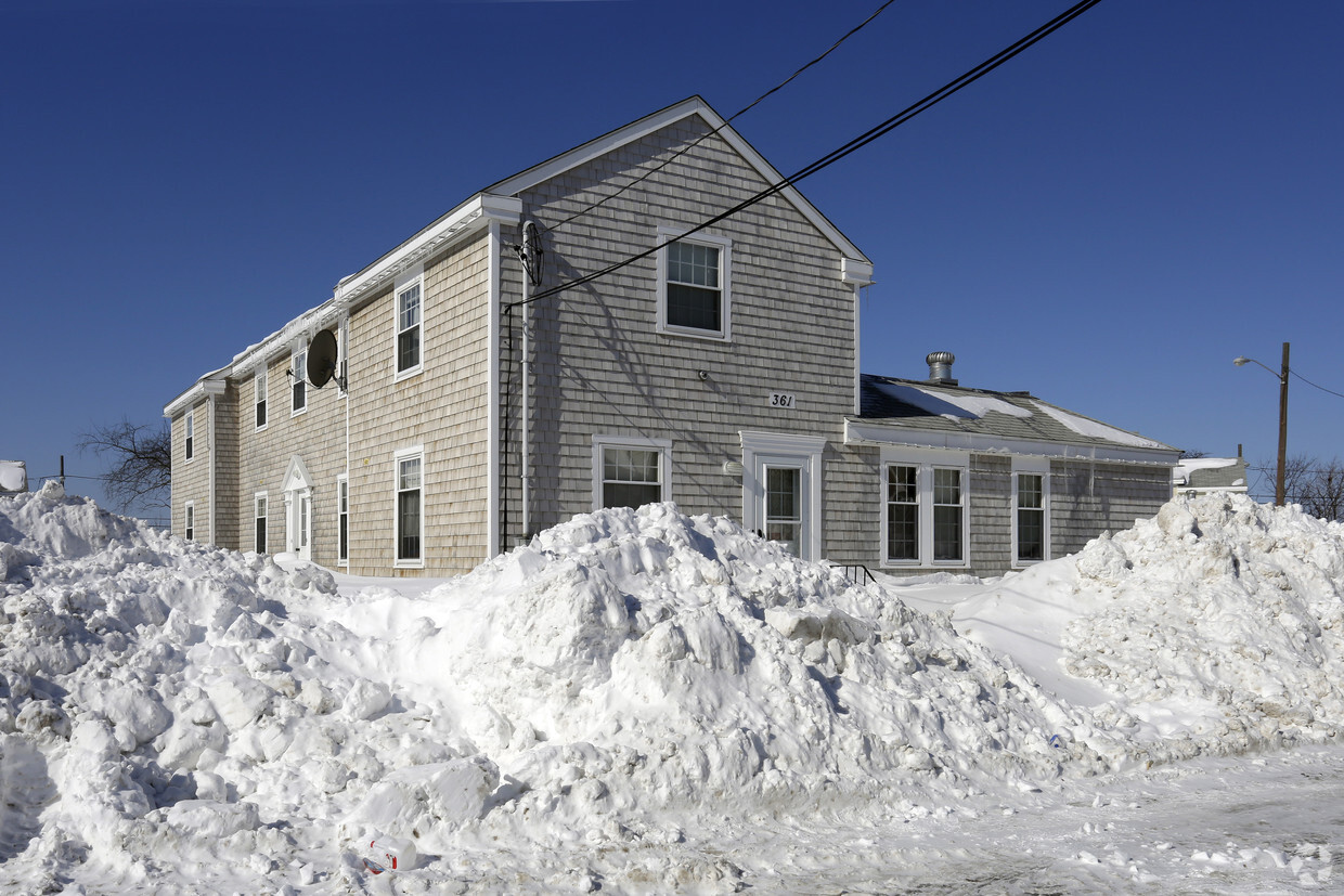

Explore your new home at Snug Harbor. The Captains Walk setting in the 02169 area of Quincy is a unique place for those looking for a new home. Come by to check out the current floorplan options. Here at this community, the leasing team is ready to help you find your new apartment. Stop by Snug Harbor today.
Snug Harbor is an apartment community located in Norfolk County and the 02169 ZIP Code. This area is served by the Quincy attendance zone.
Germantown lies on a peninsula nestled between Town River Bay and Rock Island Cove in eastern Quincy. Originally founded by a small group of glassmakers and weavers, the Germantown neighborhood is one the most affordable areas in Quincy, and it is historically known as one of the first planned industrial communities in the United States.
Since its founding, Germantown has flourished into a thriving modern community, while exuding a classic small-town feel with red-brick structures situated along tree-lined streets. Being largely residential, Germantown provides an array of apartments and condos available for rent, many of which boast picturesque waterfront views. Residents enjoy a variety of water-based activities along with quick access to Downtown Quincy and Greater Boston.
Learn more about living in Germantown| Colleges & Universities | Distance | ||
|---|---|---|---|
| Colleges & Universities | Distance | ||
| Drive: | 17 min | 8.1 mi | |
| Drive: | 22 min | 9.8 mi | |
| Drive: | 20 min | 10.5 mi | |
| Drive: | 22 min | 11.4 mi |


Transportation options available in Quincy include Wollaston Station, located 3.7 miles from Snug Harbor. Snug Harbor is near General Edward Lawrence Logan International, located 13.5 miles or 25 minutes away.
| Transit / Subway | Distance | ||
|---|---|---|---|
| Transit / Subway | Distance | ||
|
|
Drive: | 8 min | 3.7 mi |
|
|
Drive: | 9 min | 4.2 mi |
|
|
Drive: | 10 min | 4.8 mi |
|
|
Drive: | 13 min | 6.4 mi |
|
|
Drive: | 14 min | 7.2 mi |
| Commuter Rail | Distance | ||
|---|---|---|---|
| Commuter Rail | Distance | ||
|
|
Drive: | 6 min | 2.8 mi |
| Drive: | 11 min | 5.4 mi | |
|
|
Drive: | 12 min | 6.1 mi |
|
|
Drive: | 16 min | 7.7 mi |
|
|
Drive: | 17 min | 8.2 mi |
| Airports | Distance | ||
|---|---|---|---|
| Airports | Distance | ||
|
General Edward Lawrence Logan International
|
Drive: | 25 min | 13.5 mi |
Time and distance from Snug Harbor.
| Shopping Centers | Distance | ||
|---|---|---|---|
| Shopping Centers | Distance | ||
| Drive: | 5 min | 2.4 mi | |
| Drive: | 7 min | 3.3 mi | |
| Drive: | 8 min | 3.6 mi |
| Parks and Recreation | Distance | ||
|---|---|---|---|
| Parks and Recreation | Distance | ||
|
Adams National Historical Park
|
Drive: | 7 min | 3.3 mi |
|
Squantum Point Park
|
Drive: | 15 min | 6.3 mi |
|
Webb Memorial State Park
|
Drive: | 15 min | 6.9 mi |
|
Dorchester Shores Reservation
|
Drive: | 17 min | 8.0 mi |
|
Fort Revere
|
Drive: | 30 min | 15.5 mi |
| Hospitals | Distance | ||
|---|---|---|---|
| Hospitals | Distance | ||
| Drive: | 14 min | 7.0 mi | |
| Drive: | 14 min | 7.1 mi | |
| Drive: | 16 min | 8.8 mi |
What Are Walk Score®, Transit Score®, and Bike Score® Ratings?
Walk Score® measures the walkability of any address. Transit Score® measures access to public transit. Bike Score® measures the bikeability of any address.
What is a Sound Score Rating?
A Sound Score Rating aggregates noise caused by vehicle traffic, airplane traffic and local sources


