
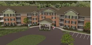
Mason
8515 University Executive Park Dr,
Charlotte, NC 28262
$1,265 - $2,455
Studio - 3 Beds
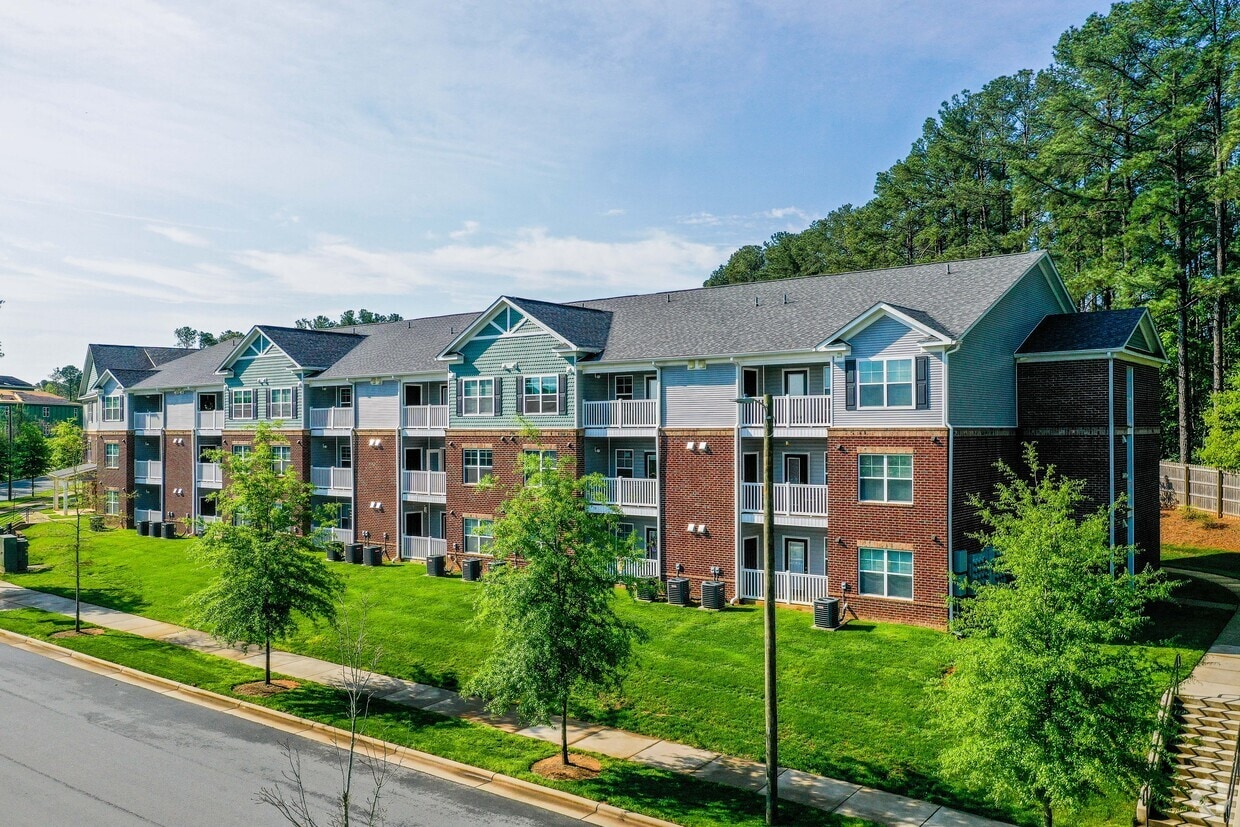
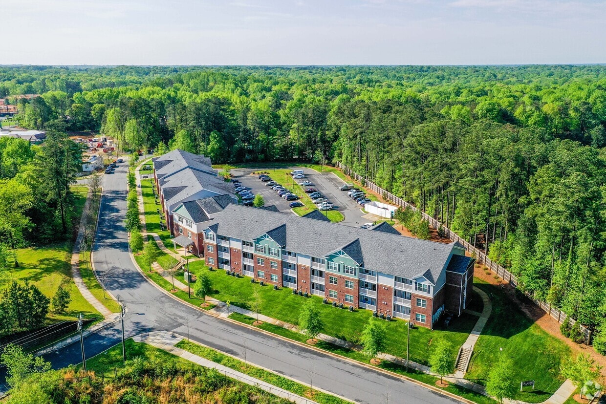
Experience your new home at Sardis Trace. The address for this community is in the 28270 area of Charlotte. Come for a visit to see the current floorplan options. The professional leasing team is ready and waiting to help you find your perfect new home. Contact us or stop by today.
Sardis Trace is an apartment community located in Mecklenburg County and the 28270 ZIP Code. This area is served by the Charlotte-Mecklenburg attendance zone.
Dishwasher
Washer/Dryer Hookup
Walk-In Closets
Refrigerator
Situated about ten miles southeast of Uptown Charlotte, Sardis Woods touts a bevy of charming residences in a dense forest-like atmosphere. While walking along the neighborhood’s peaceful tree-lined streets, it can be hard to believe that busy thoroughfares like Independence Boulevard, Matthews Township Parkway, and I-485 are so close by.
Sardis Woods is convenient to an array of amenities. Shopping opportunities abound near the neighborhood, with Windsor Square, Sycamore Commons, Crown Point Plaza, and more all in close proximity. Options for outdoor recreation are also plentiful near Sardis Woods, with James Boyce Park and McAlpine Creek Park located just outside the neighborhood borders.
Learn more about living in Sardis Woods| Colleges & Universities | Distance | ||
|---|---|---|---|
| Colleges & Universities | Distance | ||
| Drive: | 13 min | 5.1 mi | |
| Drive: | 18 min | 9.0 mi | |
| Drive: | 16 min | 9.7 mi | |
| Drive: | 27 min | 13.0 mi |


Transportation options available in Charlotte include Hawthorne Ln & 8Th St Citylynx, located 8.2 miles from Sardis Trace. Sardis Trace is near Charlotte/Douglas International, located 18.3 miles or 32 minutes away, and Concord-Padgett Regional, located 22.9 miles or 36 minutes away.
| Transit / Subway | Distance | ||
|---|---|---|---|
| Transit / Subway | Distance | ||
| Drive: | 16 min | 8.2 mi | |
| Drive: | 17 min | 8.4 mi | |
| Drive: | 16 min | 9.9 mi | |
| Drive: | 16 min | 9.9 mi | |
| Drive: | 17 min | 10.1 mi |
| Commuter Rail | Distance | ||
|---|---|---|---|
| Commuter Rail | Distance | ||
|
|
Drive: | 19 min | 11.4 mi |
|
|
Drive: | 45 min | 31.9 mi |
| Drive: | 49 min | 33.6 mi |
| Airports | Distance | ||
|---|---|---|---|
| Airports | Distance | ||
|
Charlotte/Douglas International
|
Drive: | 32 min | 18.3 mi |
|
Concord-Padgett Regional
|
Drive: | 36 min | 22.9 mi |
Time and distance from Sardis Trace.
| Shopping Centers | Distance | ||
|---|---|---|---|
| Shopping Centers | Distance | ||
| Walk: | 3 min | 0.2 mi | |
| Walk: | 4 min | 0.2 mi | |
| Walk: | 7 min | 0.4 mi |
| Parks and Recreation | Distance | ||
|---|---|---|---|
| Parks and Recreation | Distance | ||
|
Campbell Creek Greenway
|
Drive: | 7 min | 3.1 mi |
|
Stallings Municipal Park
|
Drive: | 10 min | 4.6 mi |
|
Evergreen Nature Preserve
|
Drive: | 15 min | 6.9 mi |
|
Blair Mills Park
|
Drive: | 14 min | 7.2 mi |
|
Briar Creek Greenway
|
Drive: | 17 min | 8.8 mi |
| Hospitals | Distance | ||
|---|---|---|---|
| Hospitals | Distance | ||
| Drive: | 18 min | 9.5 mi | |
| Drive: | 16 min | 10.0 mi | |
| Drive: | 20 min | 10.5 mi |
What Are Walk Score®, Transit Score®, and Bike Score® Ratings?
Walk Score® measures the walkability of any address. Transit Score® measures access to public transit. Bike Score® measures the bikeability of any address.
What is a Sound Score Rating?
A Sound Score Rating aggregates noise caused by vehicle traffic, airplane traffic and local sources

8848 Nolley Ct
Charlotte, NC 28270


