
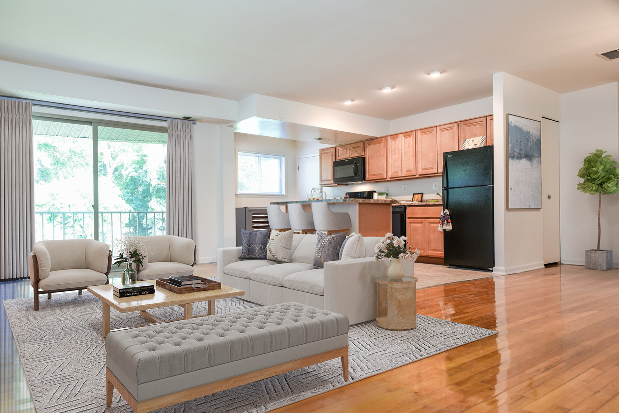
The Preserve at Owings Crossing Apartment Homes
10 Brookebury Dr,
Reisterstown, MD 21136
$1,215 - $3,280
Studio - 3 Beds

Bedrooms
1 - 3 bd
Bathrooms
1 - 2 ba
Square Feet
559 - 1,200 sq ft
Richmar Apartments, located in Owings Mills Maryland, offers convenient and easy access to Reisterstown, Westminster, Baltimore and downtown via light rail. Close to everything but without the congestion! Impeccable service. Awesome location with quick - easy access to I-795, I-695, & I-83.
Richmar Apartments, located in Owings Mills Maryland, offers convenient and easy access to Reisterstown, Westminster, Baltimore and downtown via light rail. Close to everything but without the congestion! Impeccable service. Awesome location with quick - easy access to I-795, I-695, & I-83.
Richmar is an apartment community located in Baltimore County and the 21117 ZIP Code. This area is served by the Baltimore County Public Schools attendance zone.
Unique Features
Laundry Facilities
Playground
Controlled Access
Business Center
Washer/Dryer
Air Conditioning
Dishwasher
High Speed Internet Access
Walk-In Closets
Microwave
Refrigerator
Tub/Shower
Owings Mills is an unincorporated community in Baltimore County, sitting along Interstate 795 roughly 15 miles northwest of downtown Baltimore, where suburban scale and city access genuinely coexist. The Baltimore Metro Subway terminates here, making the commute into the city straightforward without requiring a car. Major employers with a local presence include T. Rowe Price, CareFirst BlueCross BlueShield, and the Baltimore Ravens' training and headquarters facility, giving the area a steady economic foundation. Maryland Public Television also operates its studios here, adding a notable media anchor to the community. Stevenson University calls Owings Mills home, contributing an academic presence that shapes the pace and personality of the area. Distinct pockets like New Town, Metro Centre, and the Foundry Row corridor each carry their own character, from walkable retail and dining to quieter, wooded residential streets.
Learn more about living in Owings Mills| Colleges & Universities | Distance | ||
|---|---|---|---|
| Colleges & Universities | Distance | ||
| Drive: | 7 min | 2.4 mi | |
| Drive: | 17 min | 7.4 mi | |
| Drive: | 26 min | 14.4 mi | |
| Drive: | 26 min | 14.5 mi |


Transportation options available in Owings Mills include Old Court, located 6.7 miles from Richmar. Richmar is near Baltimore/Washington International Thurgood Marshall, located 22.3 miles or 36 minutes away.
| Transit / Subway | Distance | ||
|---|---|---|---|
| Transit / Subway | Distance | ||
| Drive: | 14 min | 6.7 mi | |
| Drive: | 17 min | 7.4 mi | |
| Drive: | 21 min | 8.7 mi | |
| Drive: | 16 min | 9.3 mi | |
|
|
Drive: | 26 min | 11.7 mi |
| Commuter Rail | Distance | ||
|---|---|---|---|
| Commuter Rail | Distance | ||
| Drive: | 28 min | 17.7 mi | |
| Drive: | 28 min | 17.7 mi | |
|
|
Drive: | 31 min | 17.9 mi |
| Drive: | 33 min | 18.2 mi | |
| Drive: | 34 min | 19.8 mi |
| Airports | Distance | ||
|---|---|---|---|
| Airports | Distance | ||
|
Baltimore/Washington International Thurgood Marshall
|
Drive: | 36 min | 22.3 mi |
Scores provided by
Traffic
BusyAirport
CalmBusinesses
CalmScores provided by
HowLoud What is a Sound Score Rating? A Sound Score Rating aggregates noise caused by vehicle traffic, airplane traffic and local sources. How It WorksTime and distance from Richmar.
| Shopping Centers | Distance | ||
|---|---|---|---|
| Shopping Centers | Distance | ||
| Walk: | 10 min | 0.5 mi | |
| Walk: | 11 min | 0.6 mi | |
| Walk: | 14 min | 0.8 mi |
| Parks and Recreation | Distance | ||
|---|---|---|---|
| Parks and Recreation | Distance | ||
|
Irvine Nature Center
|
Drive: | 9 min | 3.4 mi |
|
Soldiers Delight Natural Environment Area (NEA)
|
Drive: | 10 min | 4.3 mi |
|
Rodgers Farms
|
Drive: | 14 min | 6.7 mi |
|
Oregon Ridge Nature Center
|
Drive: | 23 min | 10.2 mi |
|
Oregon Ridge Park
|
Drive: | 23 min | 10.3 mi |
| Hospitals | Distance | ||
|---|---|---|---|
| Hospitals | Distance | ||
| Drive: | 13 min | 6.8 mi | |
| Drive: | 23 min | 10.3 mi | |
| Drive: | 23 min | 10.3 mi |
| Military Bases | Distance | ||
|---|---|---|---|
| Military Bases | Distance | ||
| Drive: | 50 min | 30.3 mi | |
| Drive: | 64 min | 39.1 mi | |
| Drive: | 66 min | 45.3 mi |

Pets Allowed Fitness Center Pool Dishwasher In Unit Washer & Dryer
13 Richmar Rd
Owings Mills, MD 21117


