
Colette
2099 1st St SW,
Washington, DC 20024
$1,240 - $15,075
Studio - 6 Beds

Bedrooms
Studio bd
Bathrooms
1 ba
Square Feet
500 sq ft

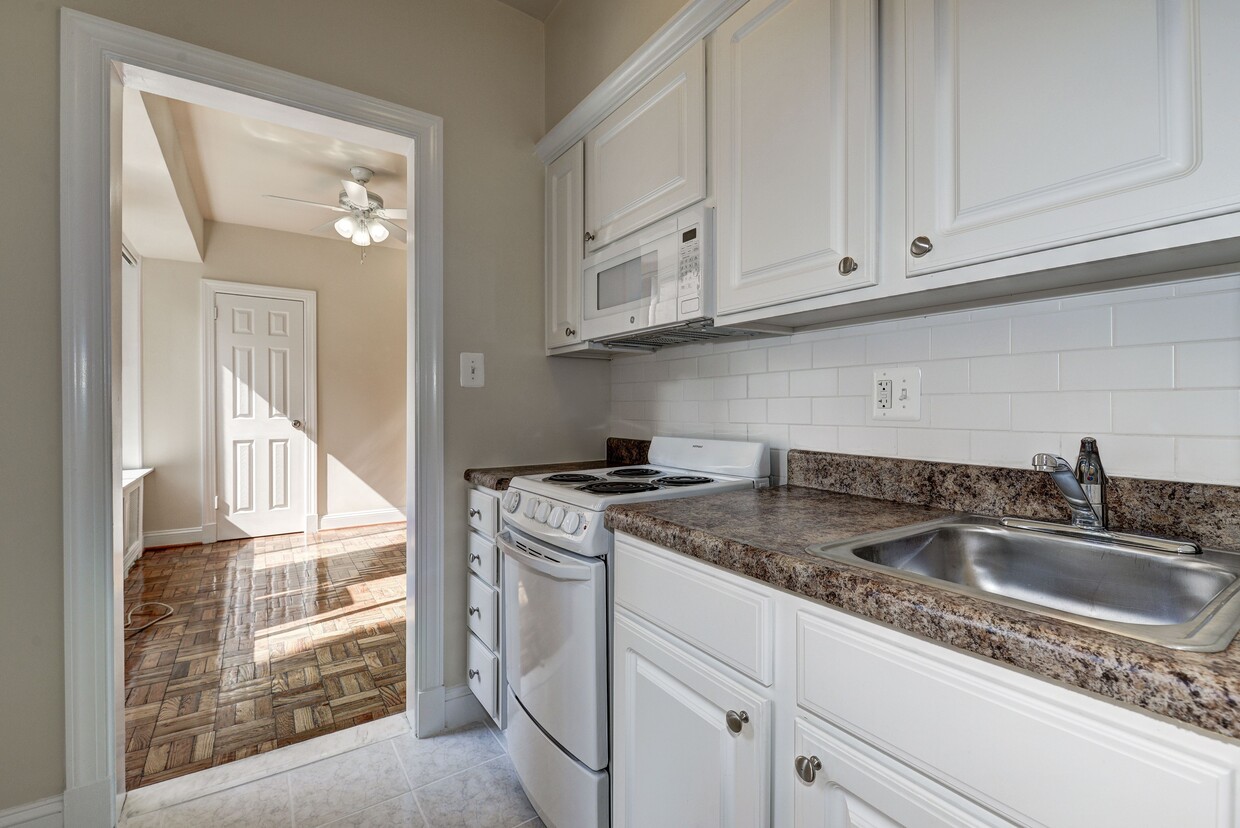
Welcome to Park Crescent, a sophisticated apartment community that offers studio, 1- and 2-bedroom floor plans fit to accommodate your lifestyle. Our apartments come with spacious closets with built-in organizers, beautiful parquet floors, and high ceilings. Our location is conveniently situated within close proximity to all that the Adams Morgan and Mount Pleasant areas have to offer, including parks, restaurants, and Metro. Schedule an in-person visit now to learn more about making this special property your next home!
Park Crescent is an apartment community located in District of Columbia County and the 20009 ZIP Code. This area is served by the District Of Columbia Public Schools attendance zone.
Fitness Center
Laundry Facilities
Controlled Access
Recycling
Air Conditioning
High Speed Internet Access
Hardwood Floors
Microwave
Situated south of Mount Pleasant and north of Adams Morgan, Lanier Heights is a small neighborhood that blends seamlessly into the larger Adams Morgan neighborhood. The National Zoo begins along the northwest side, and Downtown DC is just over a mile to the south. With its elegant row houses, tree-lined streets, Art Deco homes, and charming apartment buildings, Lanier Heights is one of DC's historic hidden gems.
The neighborhood began as one of Washington DC's earliest subdivisions, established around 1883. Residents enjoy fast access to the National Zoo, Rock Creek Park Trails, and Walter Pierce Park, which is located in the neighborhood and offers ball courts and fields, a playground, chess tables, and a dog park.
Learn more about living in Lanier Heights| Colleges & Universities | Distance | ||
|---|---|---|---|
| Colleges & Universities | Distance | ||
| Drive: | 5 min | 1.5 mi | |
| Drive: | 4 min | 1.5 mi | |
| Drive: | 5 min | 1.6 mi | |
| Drive: | 5 min | 2.0 mi |


Transportation options available in Washington include Columbia Heights, located 0.6 mile from Park Crescent. Park Crescent is near Ronald Reagan Washington Ntl, located 7.3 miles or 15 minutes away, and Washington Dulles International, located 27.7 miles or 46 minutes away.
| Transit / Subway | Distance | ||
|---|---|---|---|
| Transit / Subway | Distance | ||
|
|
Walk: | 11 min | 0.6 mi |
|
|
Walk: | 15 min | 0.8 mi |
|
|
Drive: | 3 min | 1.4 mi |
|
|
Drive: | 4 min | 1.6 mi |
|
|
Drive: | 4 min | 1.9 mi |
| Commuter Rail | Distance | ||
|---|---|---|---|
| Commuter Rail | Distance | ||
|
|
Drive: | 9 min | 4.0 mi |
|
|
Drive: | 9 min | 4.1 mi |
|
|
Drive: | 8 min | 4.1 mi |
|
|
Drive: | 9 min | 4.2 mi |
|
|
Drive: | 12 min | 6.0 mi |
| Airports | Distance | ||
|---|---|---|---|
| Airports | Distance | ||
|
Ronald Reagan Washington Ntl
|
Drive: | 15 min | 7.3 mi |
|
Washington Dulles International
|
Drive: | 46 min | 27.7 mi |
Time and distance from Park Crescent.
| Shopping Centers | Distance | ||
|---|---|---|---|
| Shopping Centers | Distance | ||
| Walk: | 5 min | 0.3 mi | |
| Walk: | 12 min | 0.7 mi | |
| Drive: | 4 min | 1.6 mi |
| Parks and Recreation | Distance | ||
|---|---|---|---|
| Parks and Recreation | Distance | ||
|
Meridian Hill Park
|
Walk: | 11 min | 0.6 mi |
|
National Zoo
|
Walk: | 13 min | 0.7 mi |
|
Hillwood Estate, Museum & Gardens
|
Drive: | 5 min | 1.8 mi |
|
Mary McLeod Bethune Council House NHS
|
Drive: | 6 min | 2.0 mi |
|
Carter G. Woodson Home National Historic Site
|
Drive: | 6 min | 2.1 mi |
| Hospitals | Distance | ||
|---|---|---|---|
| Hospitals | Distance | ||
| Drive: | 4 min | 1.7 mi | |
| Drive: | 5 min | 1.9 mi | |
| Drive: | 5 min | 2.0 mi |
| Military Bases | Distance | ||
|---|---|---|---|
| Military Bases | Distance | ||
| Drive: | 8 min | 2.9 mi | |
| Drive: | 7 min | 2.9 mi |
What Are Walk Score®, Transit Score®, and Bike Score® Ratings?
Walk Score® measures the walkability of any address. Transit Score® measures access to public transit. Bike Score® measures the bikeability of any address.
What is a Sound Score Rating?
A Sound Score Rating aggregates noise caused by vehicle traffic, airplane traffic and local sources
2901 18th St NW
Washington, DC 20009


