
Summerwood
21701 Foothill Blvd,
Hayward, CA 94541
$2,053 - $2,740
1-3 Beds

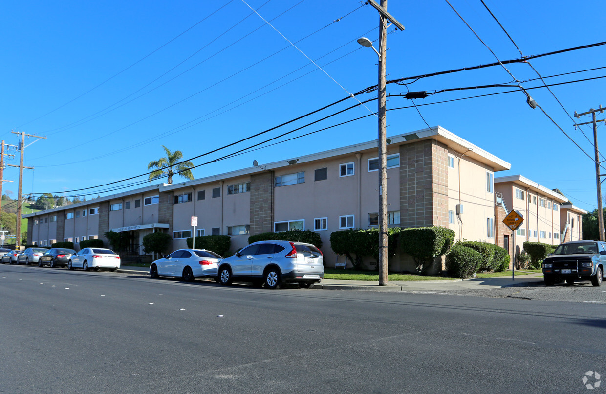
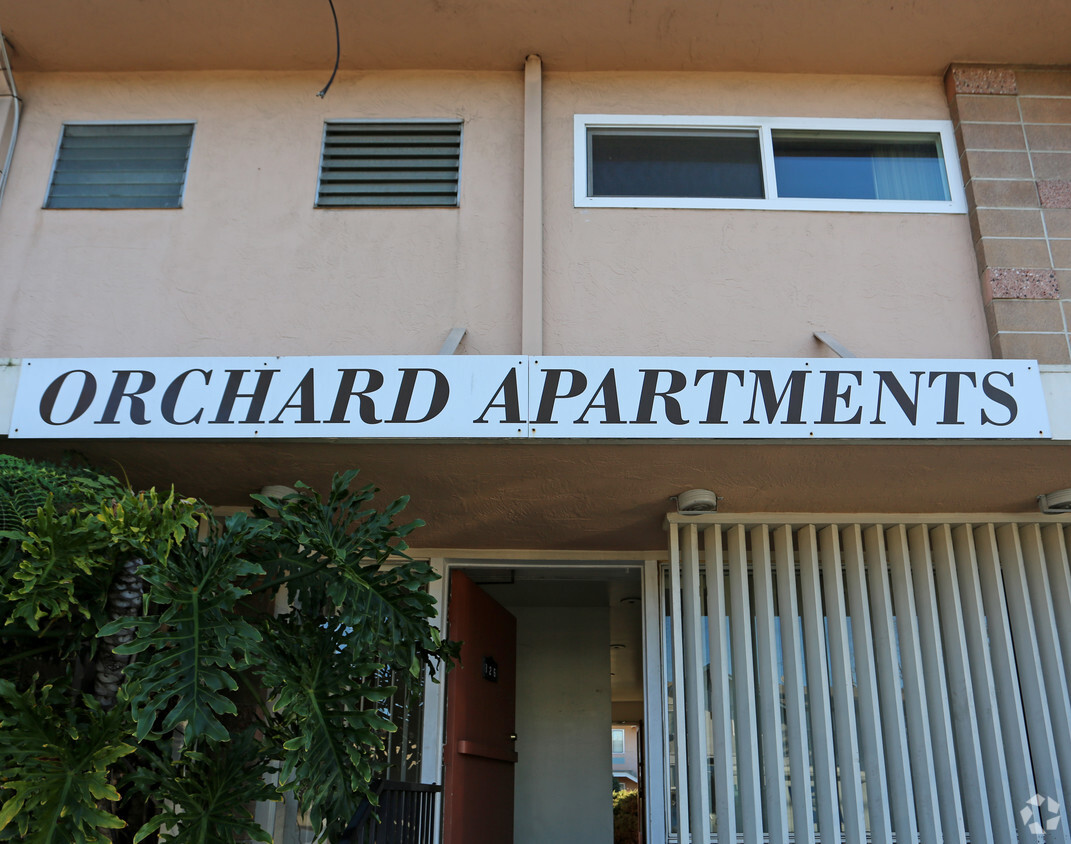
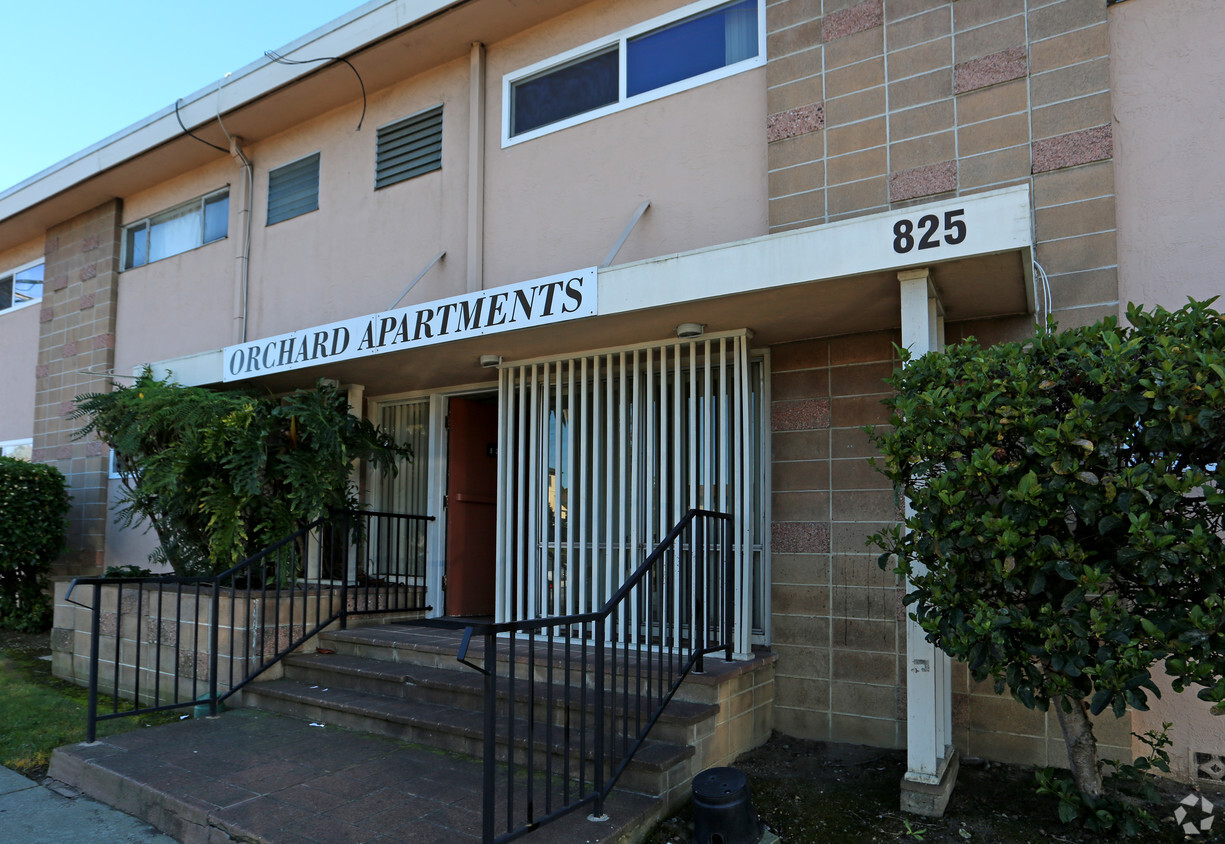

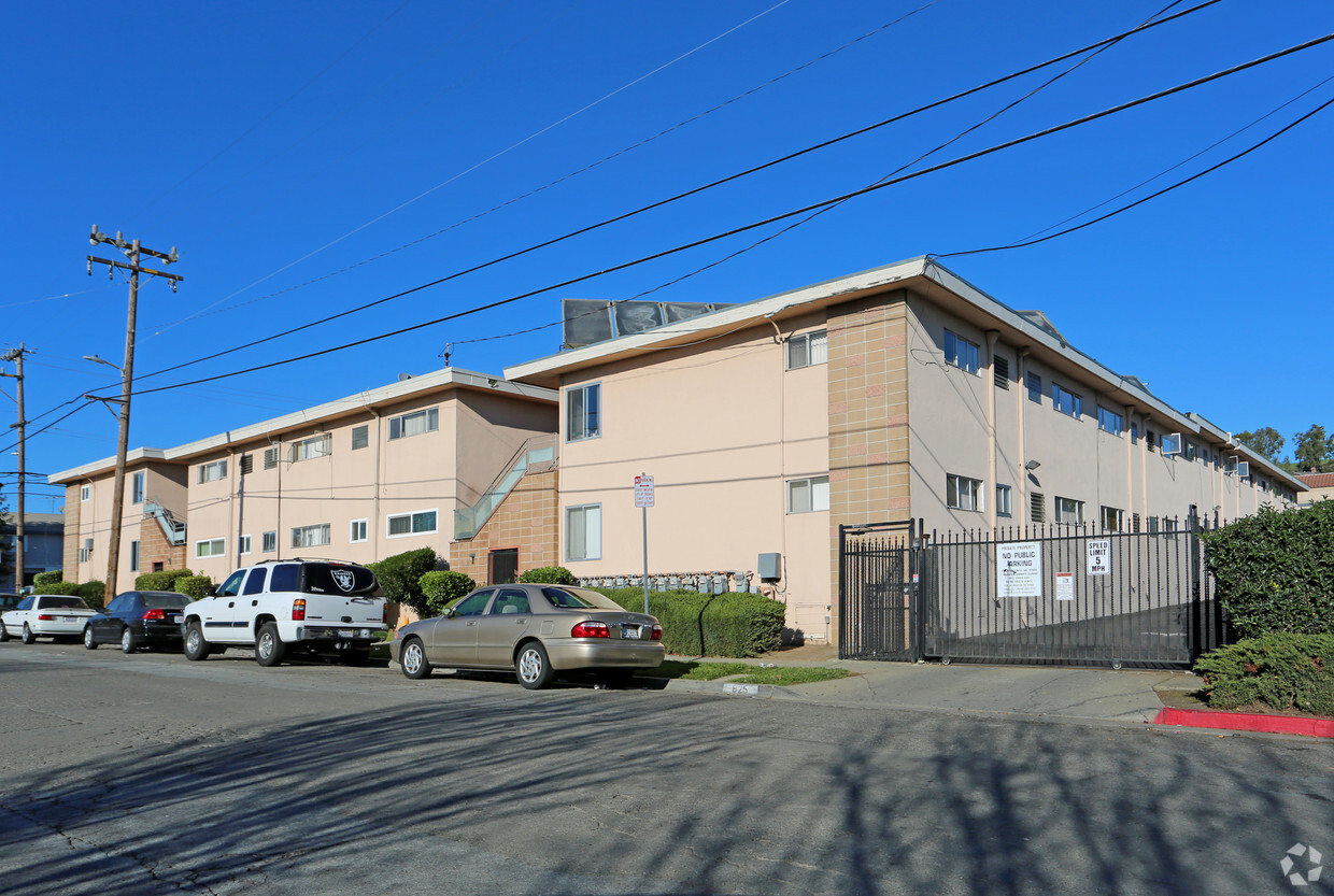
Explore Hayward living at Orchard Apartments. In a convenient location on Orchard Ave in Hayward's 94544 area, renters can easily connect with a number of entertainment options within a few miles. Be sure to check out the apartment floorplan options. This community offers you a variety of comforts like convenient on-site parking options, high-speed internet access, and smoke free options. Contact us or stop by today.
Orchard Apartments is an apartment community located in Alameda County and the 94544 ZIP Code. This area is served by the Hayward Unified attendance zone.
High Speed Internet Access
Refrigerator
Smoke Free
Heating
Also known as the Hayward Hills, Mission-Foothill is a hilly, scenic neighborhood. Mission-Foothill is sought after for its abundance of parks, trails, protected green space, and of course, scenic views. Along with being just over one mile from Downtown Hayward, Mission-Foothill is also located beside California State University, East Bay. This hillside neighborhood has a great selection of shopping and dining options, with most restaurants and stores located along Mission Boulevard. Highway 238 runs through the neighborhood, making travel throughout the Bay Area easy. Complemented by excellent views, Mission-Foothill has mid-rise apartments, modern townhomes, and single-family houses available for rent.
Learn more about living in Mission-FoothillCompare neighborhood and city base rent averages by bedroom.
| Mission-Foothill | Hayward, CA | |
|---|---|---|
| Studio | $2,418 | $1,942 |
| 1 Bedroom | $2,012 | $2,076 |
| 2 Bedrooms | $2,400 | $2,348 |
| 3 Bedrooms | $2,529 | $2,766 |
| Colleges & Universities | Distance | ||
|---|---|---|---|
| Colleges & Universities | Distance | ||
| Drive: | 3 min | 1.2 mi | |
| Drive: | 9 min | 4.2 mi | |
| Drive: | 20 min | 12.2 mi | |
| Drive: | 18 min | 13.3 mi |


Transportation options available in Hayward include Hayward Station, located 1.3 miles from Orchard Apartments. Orchard Apartments is near Metro Oakland International, located 11.4 miles or 17 minutes away, and San Francisco International, located 23.5 miles or 31 minutes away.
| Transit / Subway | Distance | ||
|---|---|---|---|
| Transit / Subway | Distance | ||
|
|
Drive: | 4 min | 1.3 mi |
|
|
Drive: | 6 min | 2.3 mi |
|
|
Drive: | 6 min | 3.5 mi |
|
|
Drive: | 10 min | 5.3 mi |
|
|
Drive: | 13 min | 6.1 mi |
| Commuter Rail | Distance | ||
|---|---|---|---|
| Commuter Rail | Distance | ||
|
|
Drive: | 6 min | 2.3 mi |
| Drive: | 6 min | 2.3 mi | |
| Drive: | 17 min | 10.6 mi | |
| Drive: | 18 min | 10.7 mi | |
| Drive: | 23 min | 15.7 mi |
| Airports | Distance | ||
|---|---|---|---|
| Airports | Distance | ||
|
Metro Oakland International
|
Drive: | 17 min | 11.4 mi |
|
San Francisco International
|
Drive: | 31 min | 23.5 mi |
Time and distance from Orchard Apartments.
| Shopping Centers | Distance | ||
|---|---|---|---|
| Shopping Centers | Distance | ||
| Walk: | 19 min | 1.0 mi | |
| Drive: | 3 min | 1.2 mi | |
| Drive: | 3 min | 1.5 mi |
| Parks and Recreation | Distance | ||
|---|---|---|---|
| Parks and Recreation | Distance | ||
|
Sulphur Creek Nature Center
|
Drive: | 6 min | 2.0 mi |
|
Don Castro Regional Recreation Area
|
Drive: | 6 min | 3.1 mi |
|
Cull Canyon Regional Recreation Area
|
Drive: | 11 min | 4.6 mi |
|
Lake Chabot Regional Park
|
Drive: | 10 min | 5.0 mi |
|
Hayward Regional Shoreline
|
Drive: | 17 min | 8.1 mi |
| Hospitals | Distance | ||
|---|---|---|---|
| Hospitals | Distance | ||
| Drive: | 8 min | 4.0 mi | |
| Drive: | 9 min | 4.7 mi | |
| Drive: | 12 min | 7.8 mi |
| Military Bases | Distance | ||
|---|---|---|---|
| Military Bases | Distance | ||
| Drive: | 29 min | 18.9 mi | |
| Drive: | 39 min | 26.7 mi |
What Are Walk Score®, Transit Score®, and Bike Score® Ratings?
Walk Score® measures the walkability of any address. Transit Score® measures access to public transit. Bike Score® measures the bikeability of any address.
What is a Sound Score Rating?
A Sound Score Rating aggregates noise caused by vehicle traffic, airplane traffic and local sources
825 Orchard Ave
Hayward, CA 94544


