
95 Saint
95 St. Alphonsus St,
Boston, MA 02120
Studio - 2 Beds $3,335 - $5,375

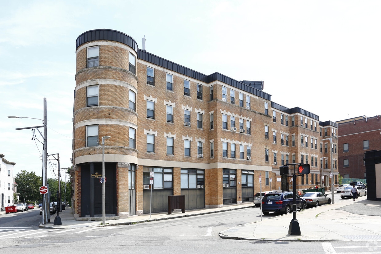
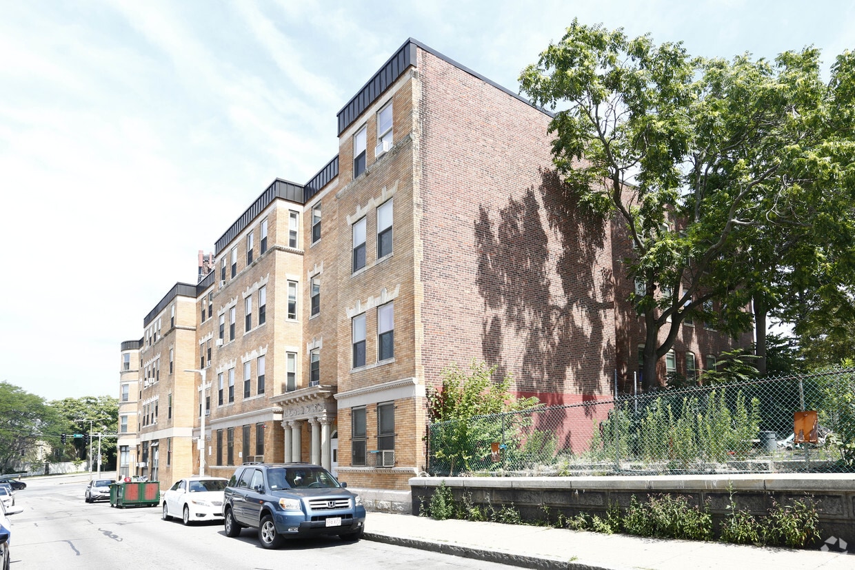
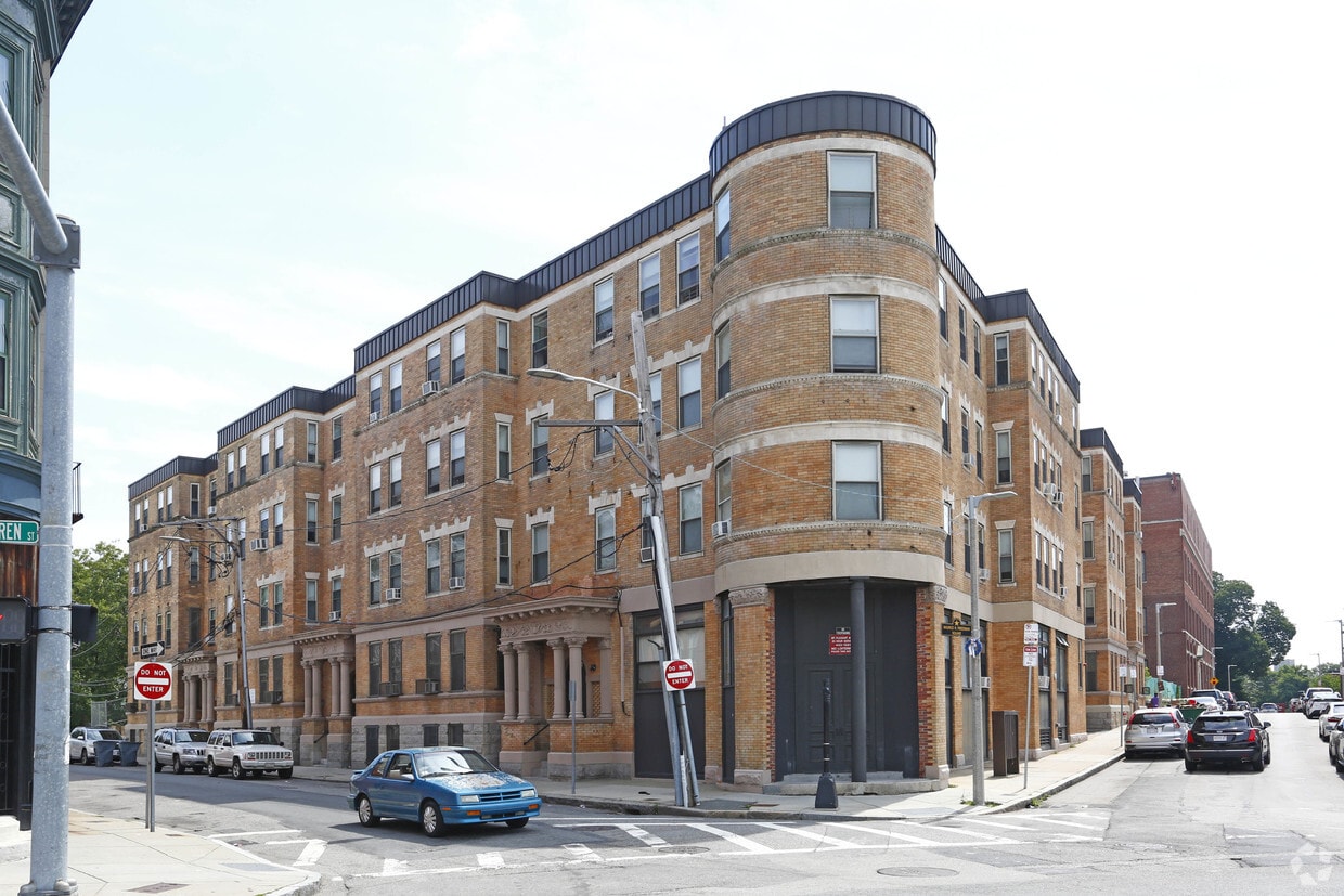
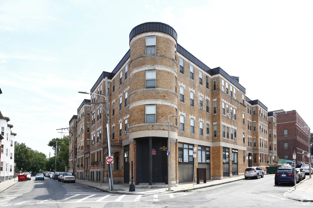
Mt Pleasant Apartments offers a combination of quality and design. Located at 2 Waverly St. in Roxbury, this community is perfectly situated for work or play. The leasing team is available to help you find your new home. Contact us today to schedule a tour and make your move to Mt Pleasant Apartments.
Mt Pleasant Apartments is an apartment community located in Suffolk County and the 02119 ZIP Code. This area is served by the Boston Public Schools attendance zone.
Clubhouse
Controlled Access
24 Hour Access
Public Transportation
Air Conditioning
Dishwasher
Microwave
Refrigerator
Roxbury is a historic and diverse community in southwest Boston, adjacent to some of the city’s most iconic landmarks. The north side borders the campus of Northeastern University and is just a few blocks from Fenway Park, the Medical Center, Back Bay, and the Emerald Necklace. The south side encompasses Franklin Park, allowing you to easily access the trails, playground, zoo, and golf course, ensuring fun for the whole family, wherever you look.
What is it like to live in Roxbury? Well, numerous public parks are spread throughout the community, providing lots of options when you feel like spending time outdoors. The neighborhood is mostly residential, with some of the more affordable apartments, condos, and rental houses in the city. With several MBTA stops around the neighborhood, all of Boston is right at your fingertips.
Learn more about living in Roxbury| Colleges & Universities | Distance | ||
|---|---|---|---|
| Colleges & Universities | Distance | ||
| Drive: | 4 min | 1.7 mi | |
| Drive: | 4 min | 2.0 mi | |
| Drive: | 5 min | 2.0 mi | |
| Drive: | 4 min | 2.1 mi |


Transportation options available in Roxbury include Roxbury Crossing Station, located 1.2 miles from Mt Pleasant Apartments. Mt Pleasant Apartments is near General Edward Lawrence Logan International, located 6.2 miles or 12 minutes away.
| Transit / Subway | Distance | ||
|---|---|---|---|
| Transit / Subway | Distance | ||
|
|
Drive: | 2 min | 1.2 mi |
|
|
Drive: | 3 min | 1.3 mi |
|
|
Drive: | 3 min | 1.8 mi |
|
|
Drive: | 4 min | 1.9 mi |
|
|
Drive: | 5 min | 1.9 mi |
| Commuter Rail | Distance | ||
|---|---|---|---|
| Commuter Rail | Distance | ||
|
|
Walk: | 20 min | 1.1 mi |
| Drive: | 4 min | 1.6 mi | |
| Drive: | 3 min | 1.6 mi | |
|
|
Drive: | 4 min | 2.1 mi |
|
|
Drive: | 6 min | 2.3 mi |
| Airports | Distance | ||
|---|---|---|---|
| Airports | Distance | ||
|
General Edward Lawrence Logan International
|
Drive: | 12 min | 6.2 mi |
Time and distance from Mt Pleasant Apartments.
| Shopping Centers | Distance | ||
|---|---|---|---|
| Shopping Centers | Distance | ||
| Walk: | 4 min | 0.2 mi | |
| Walk: | 18 min | 1.0 mi | |
| Drive: | 4 min | 1.9 mi |
| Parks and Recreation | Distance | ||
|---|---|---|---|
| Parks and Recreation | Distance | ||
|
Roxbury Heritage State Park
|
Walk: | 18 min | 0.9 mi |
|
Lower Neponset River Trail
|
Drive: | 2 min | 1.2 mi |
|
Franklin Park Zoo
|
Drive: | 2 min | 1.4 mi |
|
Dorchester Shores Reservation
|
Drive: | 7 min | 2.7 mi |
|
Charles River Reservation
|
Drive: | 7 min | 3.2 mi |
| Hospitals | Distance | ||
|---|---|---|---|
| Hospitals | Distance | ||
| Drive: | 3 min | 1.3 mi | |
| Drive: | 3 min | 1.4 mi | |
| Drive: | 4 min | 2.3 mi |
| Military Bases | Distance | ||
|---|---|---|---|
| Military Bases | Distance | ||
| Drive: | 33 min | 17.2 mi |
What Are Walk Score®, Transit Score®, and Bike Score® Ratings?
Walk Score® measures the walkability of any address. Transit Score® measures access to public transit. Bike Score® measures the bikeability of any address.
What is a Sound Score Rating?
A Sound Score Rating aggregates noise caused by vehicle traffic, airplane traffic and local sources
2 Waverly St
Roxbury, MA 02119


