Median Age
41 Years
Largest Age Group
30-39 Years
Approximately 16% of Residents
Under 20
21%
Over 65
20%

Avg Rent
$1,671
Population
31,227
Renter Mix
47% Rent
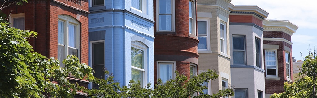
West Warwick sits along the Pawtuxet River as Rhode Island's youngest town, incorporated in 1913 after splitting from its larger neighbor, and that industrial heritage still shapes its character today. The town spans just nine square miles in Kent County, placing it within easy reach of Providence to the northeast and the coast to the south via Route 4. Compact and walkable in its core areas, West Warwick carries the feel of a working New England town where longtime residents and newer arrivals share the same tree-lined streets and local gathering spots.
The rental market reflects the town's modest scale, with a mix of converted mill buildings, two- and three-family homes, and smaller apartment communities that offer more space per dollar than many nearby communities. Studios through three-bedroom units are available across the town's distinct village areas, including Riverpoint, Arctic, and Phenix, each with its own pocket of character. The Cowesett Inn, a dining staple since 1977, anchors the community's sense of continuity. Shopping along Bald Hill Road connects residents to major retailers without a long commute. For those who want proximity to Providence's employment and cultural draw without paying Providence rents, West Warwick presents a grounded, practical alternative worth considering.
Median Household Income
$59,454
Average: $81,358
Education
7,117
Residents Have a Degree
Job Market
17,274
Workers Employed
Median Age
41 Years
Largest Age Group
30-39 Years
Approximately 16% of Residents
Under 20
21%
Over 65
20%
Housing Distribution
West Warwick has more homeowners than renters.

Education Distribution
Review this city's overall education levels.

As of July 2026, the average apartment rent in West Warwick, RI is $1,264 for a studio, $1,671 for one bedroom, $2,004 for two bedrooms, and $2,509 for three bedrooms. Apartment rent in West Warwick has increased by 2.6% in the past year.
Explore how walkable, bikeable, drivable, and transit-friendly West Warwick, RI is for everyday living.
Fairly Walkable
Walkability
Minimal Public Transit
Transit
Exceptionally Drivable
Drivability
Somewhat Bikeable
Bikeability
Public
Grades K-5
445 Students

Public
Grades K-8
1,046 Students

Public
Grades K-8
1,046 Students
Public
Grades K-5
511 Students
Wakefield Hills Elementary School
Public
Grades PK-5
402 Students
Public
Grades K-8
1,046 Students
Public
Grades K-8
1,046 Students
Public
Grades 9-12
1,119 Students

† Our analysis of utilities, groceries, transportation, healthcare, home prices, and other goods and services is sourced from the Cost of Living Index, a respected benchmark published by the Council for Community and Economic Research (C2ER) that provides a thorough overview of living expenses across different regions.
Rent data is provided by CoStar Group’s Market Trend reports. As the industry leader in commercial real estate information, analytics, and news, CoStar conducts extensive research to produce and maintain a comprehensive database of commercial real estate information. We combine this data with public record to provide the most up-to-date rental information available.
Consumer goods, services, and home prices are sourced from the Cost of Living Index published by the Council for Community and Economic Research (C2ER). The data on this page is updated quarterly. It was last published in June 2026.
Demographic information comes from Neustar and combines detailed address data with U.S. Census and American Community Survey statistics to produce reliable local estimates.


