Median Age
38 Years
Largest Age Group
25-34 Years
Approximately 18% of Residents
Under 20
20%
Over 65
17%

Avg Rent
$2,808
Population
61,931
Renter Mix
54% Rent
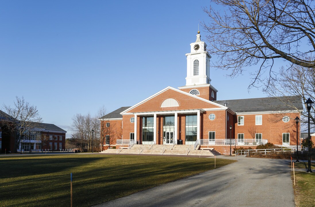
Located 11 miles west of Boston along the Charles River, Waltham combines metropolitan accessibility with tree-lined neighborhoods. The city earned its "Watch City" nickname through its historic watchmaking industry and now houses both Brandeis and Bentley Universities. The rental market remains competitive, with average rents ranging from $2,002 for studios to $3,843 for three-bedroom units. Housing options span from riverside apartment communities to historic homes in established neighborhoods like Piety Corner and the Highlands.
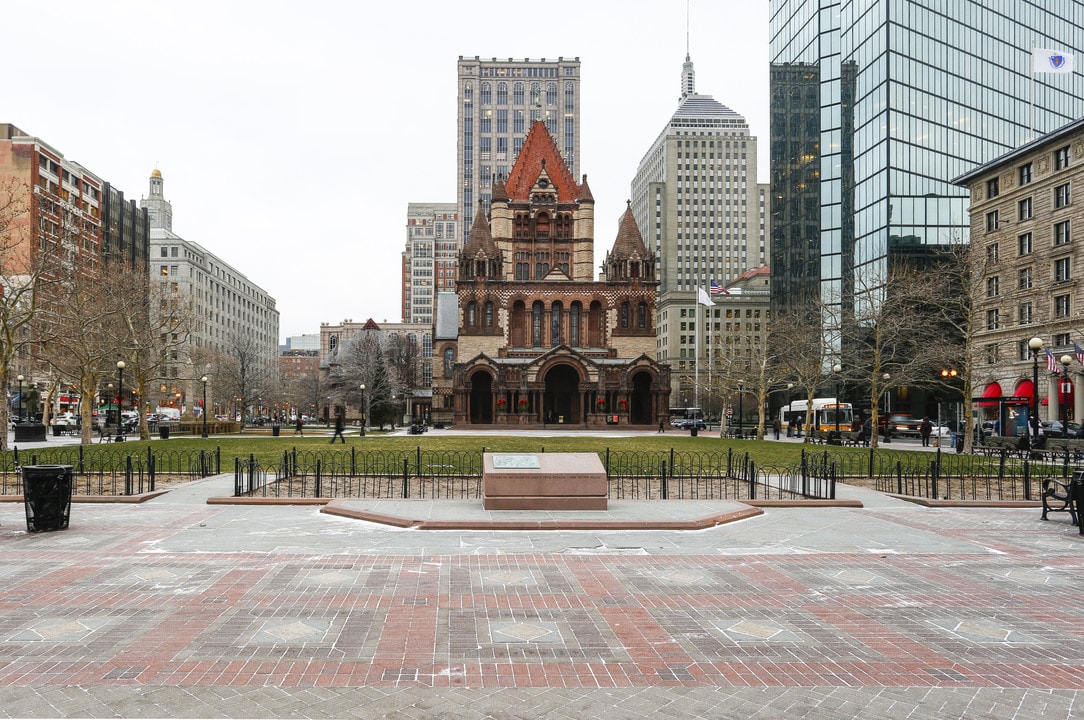
Moody Street, known locally as "Restaurant Row," serves as the city's downtown hub, featuring an international array of restaurants and independent shops. The Charles River Museum of Industry & Innovation chronicles the area's manufacturing legacy, while the riverside paths offer miles of walking and cycling routes. Residents enjoy access to several parks and green spaces, including the preserved Gore Place estate and the scenic Prospect Hill Park. The Rose Art Museum at Brandeis University and the annual Watch City Steampunk Festival add to the area's cultural calendar. The city's strong Ugandan community has influenced local culture, earning the area the informal nickname "Little Kampala."
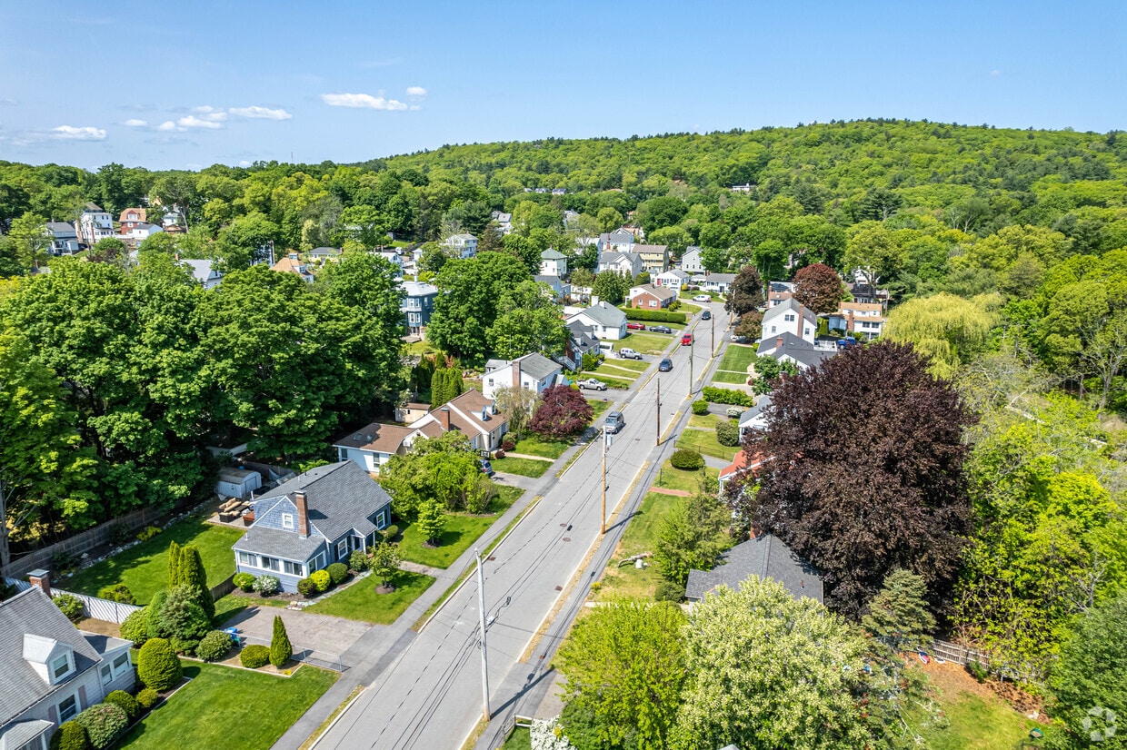
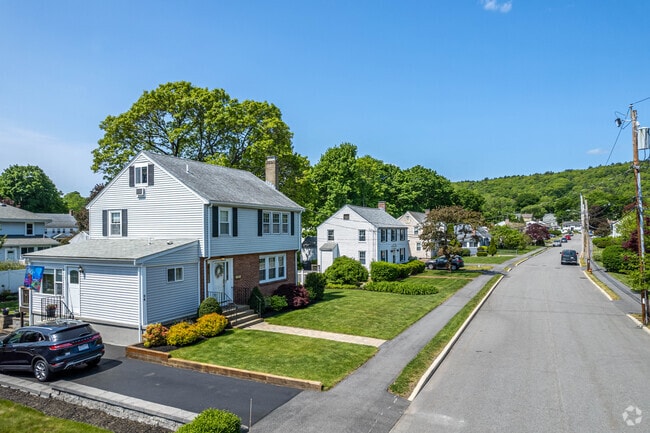
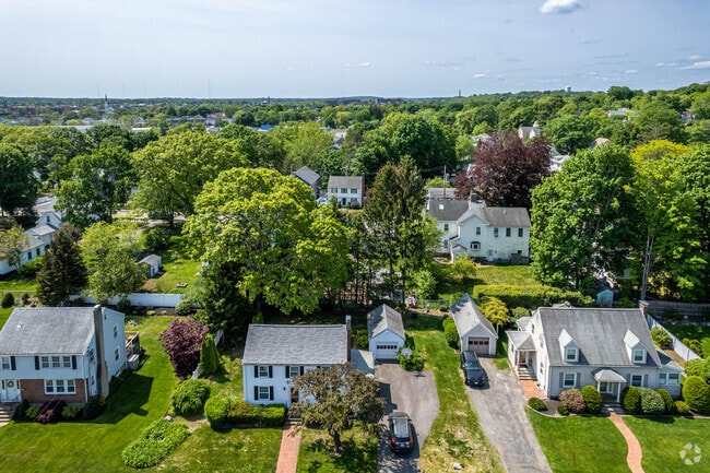
Colonial homes on Kennedy Park in The Lanes.
The Lanes is a great place to live with friendly neighbors.
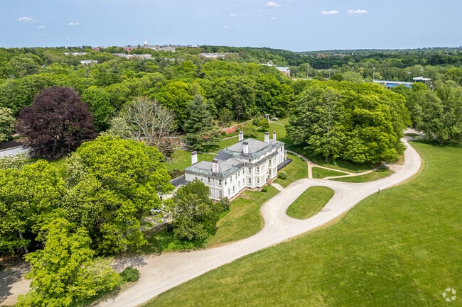
Lyman Estate Greenhouses in The Lanes, Waltham.
Kendal Green Station in Bear Hill offers easy access to nearby towns including Boston.
Walk the trails of Prospect Hill Park in The Lanes.
The Lanes is the perfect place to call home in Waltham.
Median Household Income
$107,957
Average: $133,686
Education
27,767
Residents Have a Degree
Job Market
35,262
Workers Employed
Median Age
38 Years
Largest Age Group
25-34 Years
Approximately 18% of Residents
Under 20
20%
Over 65
17%
Housing Distribution
Waltham has more renters than homeowners.

Education Distribution
Review this city's overall education levels.

As of July 2026, the average apartment rent in Waltham, MA is $2,028 for a studio, $2,809 for one bedroom, $3,335 for two bedrooms, and $3,862 for three bedrooms. Apartment rent in Waltham has increased by 2.4% in the past year.
Explore how walkable, bikeable, drivable, and transit-friendly Waltham, MA is for everyday living.
Fairly Walkable
Walkability
Limited Public Transit
Transit
Exceptionally Drivable
Drivability
Moderately Bikeable
Bikeability
Douglas Macarthur Elementary School
Public
Grades K-5
515 Students

Waltham Public Schools Dual Language Program
Public
Grades K-5
219 Students

William F. Stanley Elementary School
Public
Grades PK-5
396 Students

Henry Whittemore Elementary School
Public
Grades K-5
355 Students
James Fitzgerald Elementary School
Public
Grades K-5
352 Students
Public
Grades 6-8
645 Students
Public
Grades 6-8
645 Students
John W. McDevitt Middle School
Public
Grades 6-8
604 Students
Public
Grades 9-12
1,784 Students

Public
Grades 9-12
1,784 Students
Public
Grades 9-12
47 Students

† Our analysis of utilities, groceries, transportation, healthcare, home prices, and other goods and services is sourced from the Cost of Living Index, a respected benchmark published by the Council for Community and Economic Research (C2ER) that provides a thorough overview of living expenses across different regions.
Rent data is provided by CoStar Group’s Market Trend reports. As the industry leader in commercial real estate information, analytics, and news, CoStar conducts extensive research to produce and maintain a comprehensive database of commercial real estate information. We combine this data with public record to provide the most up-to-date rental information available.
Consumer goods, services, and home prices are sourced from the Cost of Living Index published by the Council for Community and Economic Research (C2ER). The data on this page is updated quarterly. It was last published in June 2026.
Demographic information comes from Neustar and combines detailed address data with U.S. Census and American Community Survey statistics to produce reliable local estimates.


