Median Age
37 Years
Largest Age Group
20-29 Years
Approximately 19% of Residents
Under 20
23%
Over 65
19%

Avg Rent
$1,949
Population
8,510
Renter Mix
41% Rent
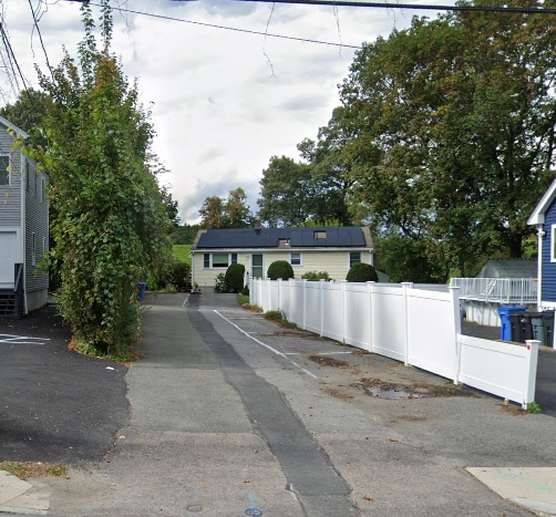
Auburndale, known locally as "The Dale," is one of 13 distinct villages within the City of Newton, offering village-scale living with rapid access to downtown Boston roughly 14 miles to the east. The Charles River borders the neighborhood, lending it a scenic, riverside character, while Auburndale Square serves as the social heart of the community, anchoring a walkable village center with an independent library, a community theater, and small local businesses. Daily errands are well within reach on foot, with groceries, cafes, and shops all close at hand.
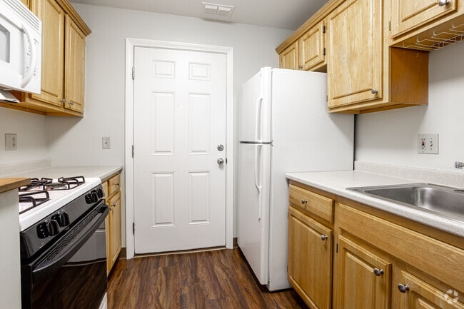
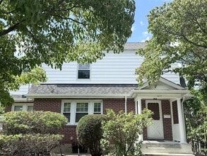
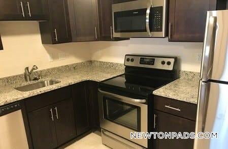
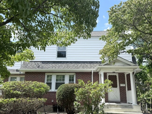
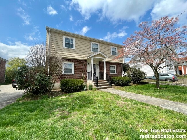
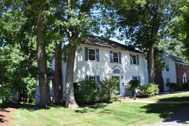
Renters will find a range of housing options here, from classic New England clapboard and brick colonials to updated multi-family homes and smaller apartment communities spread across roughly two square miles of residential streets. The architectural character reflects the neighborhood's deep historic roots, with many properties contributing to the Auburndale Historic District.
Lasell University, founded in 1851, anchors the neighborhood's institutional identity and brings an active campus presence to the area. The junction of I-90 and I-95 sits nearby, giving residents straightforward access to the broader Boston metro while preserving a calm, mostly quiet day-to-day pace.
Median Household Income
$168,333
Average: $182,309
Education
4,337
Residents Have a Degree
Job Market
4,635
Workers Employed
Median Age
37 Years
Largest Age Group
20-29 Years
Approximately 19% of Residents
Under 20
23%
Over 65
19%
Housing Distribution
Auburndale has more homeowners than renters.

Education Distribution
Review this city's overall education levels.

As of September 2026, the average apartment rent in Auburndale, MA is $2,175 for a studio, $1,949 for one bedroom, and $2,397 for two bedrooms. Apartment rent in Auburndale has increased by 0.2% in the past year.
Explore how walkable, bikeable, drivable, and transit-friendly Auburndale, MA is for everyday living.
Moderately Walkable
Walkability
Good Public Transit
Transit
Exceptionally Drivable
Drivability
Fairly Bikeable
Bikeability

† Our analysis of utilities, groceries, transportation, healthcare, home prices, and other goods and services is sourced from the Cost of Living Index, a respected benchmark published by the Council for Community and Economic Research (C2ER) that provides a thorough overview of living expenses across different regions.
Rent data is provided by CoStar Group’s Market Trend reports. As the industry leader in commercial real estate information, analytics, and news, CoStar conducts extensive research to produce and maintain a comprehensive database of commercial real estate information. We combine this data with public record to provide the most up-to-date rental information available.
Consumer goods, services, and home prices are sourced from the Cost of Living Index published by the Council for Community and Economic Research (C2ER). The data on this page is updated quarterly. It was last published in September 2026.
Demographic information comes from Neustar and combines detailed address data with U.S. Census and American Community Survey statistics to produce reliable local estimates.