Median Age
43 Years
Largest Age Group
30-39 Years
Approximately 20% of Residents
Under 20
16%
Over 65
19%
Avg Rent
$2,495
Population
10,446
Renter Mix
56% Rent
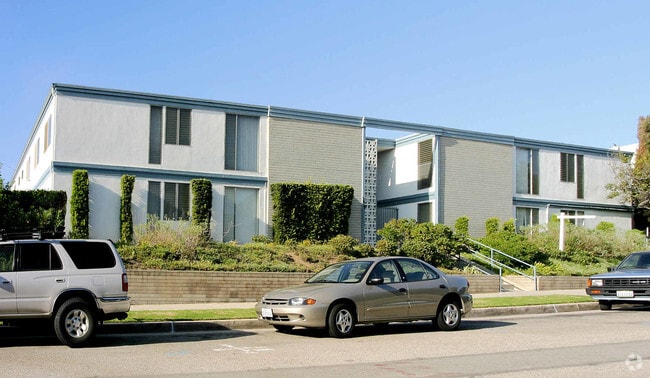
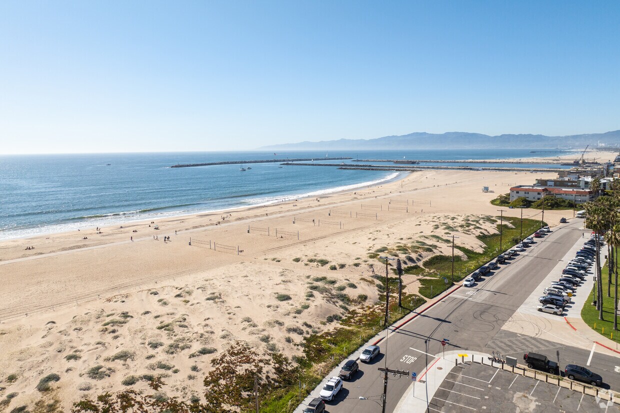
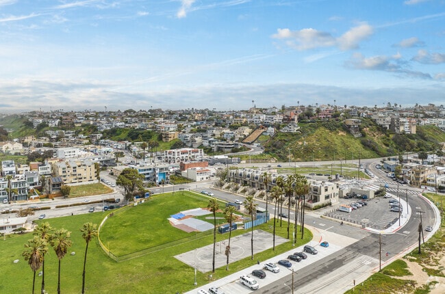
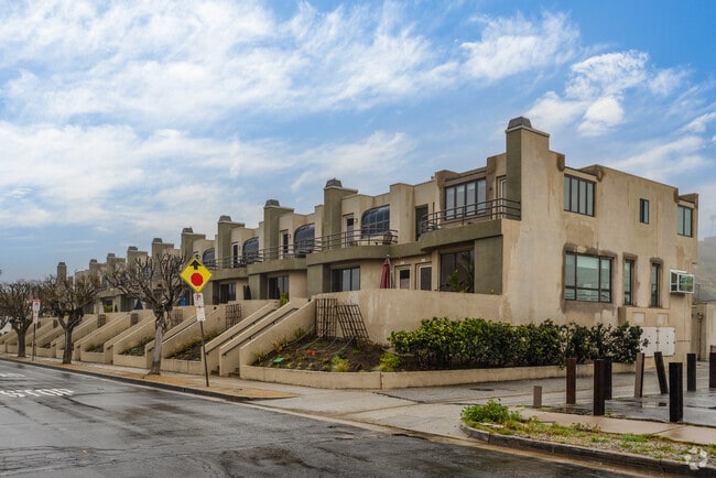
Playa del Rey sits along the Santa Monica Bay as one of Los Angeles' quieter coastal neighborhoods, offering direct beach access without the density or noise of better-known shoreline communities nearby. Translated as "Beach of the King," this westside enclave carries a distinctly relaxed pace that contrasts with the broader LA experience, drawing renters who want ocean proximity while staying connected to the city's employment corridors. Los Angeles International Airport lies directly to the south, and the 405 freeway provides access to major job centers in El Segundo, Culver City, and Silicon Beach. Ballona Creek forms the neighborhood's northern edge, and the adjacent Ballona Wetlands serve as one of the last remaining coastal wetlands in Los Angeles County. The housing mix leans toward low-rise apartment communities, bungalows, and smaller condo buildings rather than high-rise towers, giving the area a residential feel uncommon this close to the water. Renters typically choose between units with ocean views on the bluff and more affordable options in the flatlands closer to Culver Boulevard. With Venice and Marina del Rey bordering the neighborhood, daily conveniences and a wider dining scene are always within easy reach.
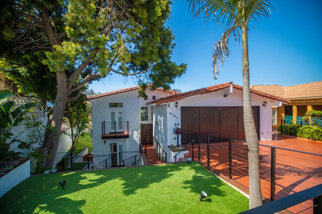
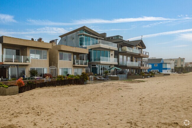
Large beachfront homes are great for a vacation or anytime in Playa Del Rey.
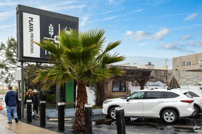
Playa Provisions is conveniently located near the beach in Playa Del Rey.
Median Household Income
$117,493
Average: $152,321
Education
6,905
Residents Have a Degree
Job Market
6,095
Workers Employed
Median Age
43 Years
Largest Age Group
30-39 Years
Approximately 20% of Residents
Under 20
16%
Over 65
19%
Housing Distribution
Playa Del Rey has more renters than homeowners.

Education Distribution
Review this city's overall education levels.

As of August 2026, the average apartment rent in Playa del Rey, CA is $2,146 for a studio, $2,514 for one bedroom, $2,955 for two bedrooms, and $3,485 for three bedrooms. Apartment rent in Playa del Rey has increased by 1.2% in the past year.
Explore how walkable, bikeable, drivable, and transit-friendly Playa del Rey, CA is for everyday living.
Somewhat Walkable
Walkability
Minimal Public Transit
Transit
Exceptionally Drivable
Drivability
Moderately Bikeable
Bikeability

† Our analysis of utilities, groceries, transportation, healthcare, home prices, and other goods and services is sourced from the Cost of Living Index, a respected benchmark published by the Council for Community and Economic Research (C2ER) that provides a thorough overview of living expenses across different regions.
Rent data is provided by CoStar Group’s Market Trend reports. As the industry leader in commercial real estate information, analytics, and news, CoStar conducts extensive research to produce and maintain a comprehensive database of commercial real estate information. We combine this data with public record to provide the most up-to-date rental information available.
Consumer goods, services, and home prices are sourced from the Cost of Living Index published by the Council for Community and Economic Research (C2ER). The data on this page is updated quarterly. It was last published in June 2026.
Demographic information comes from Neustar and combines detailed address data with U.S. Census and American Community Survey statistics to produce reliable local estimates.