Background Image

Penn Valley, PA Area Guide

A unique suburb just minutes from Philadelphia

Public Transportation Dog-Friendly Parks

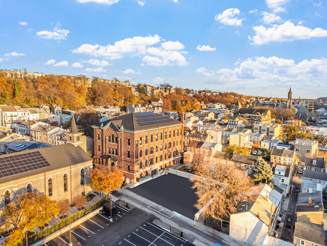
A tree-shaded Main Line community about 12 miles west of Center City Philadelphia, Penn Valley is shaped by spacious lots, a dense canopy of woods, and easy access to Interstate 76. The area is largely residential, with no true town center of its own, so residents tend to drive to nearby Narberth for shopping, dining, and community events, while the corridor along Montgomery Avenue serves as Penn Valley's modest business strip.

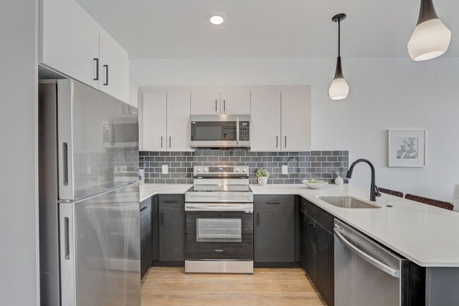
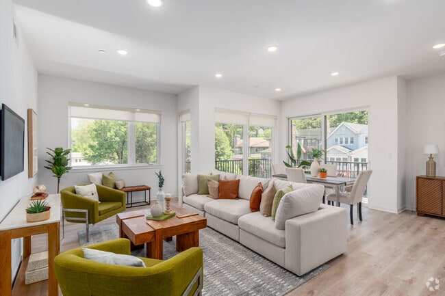
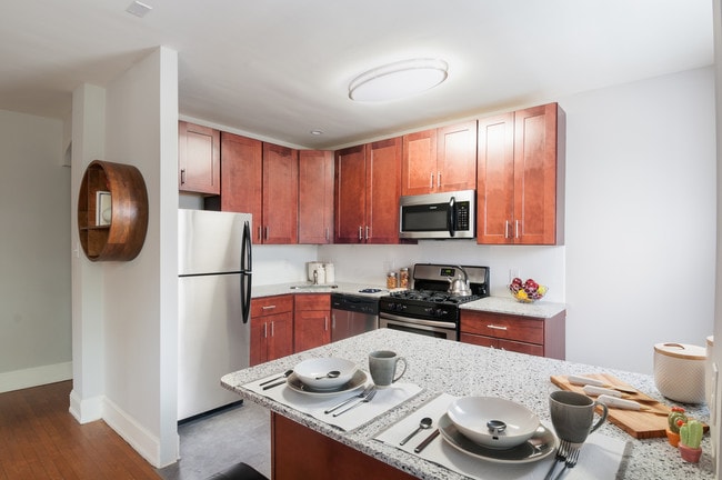
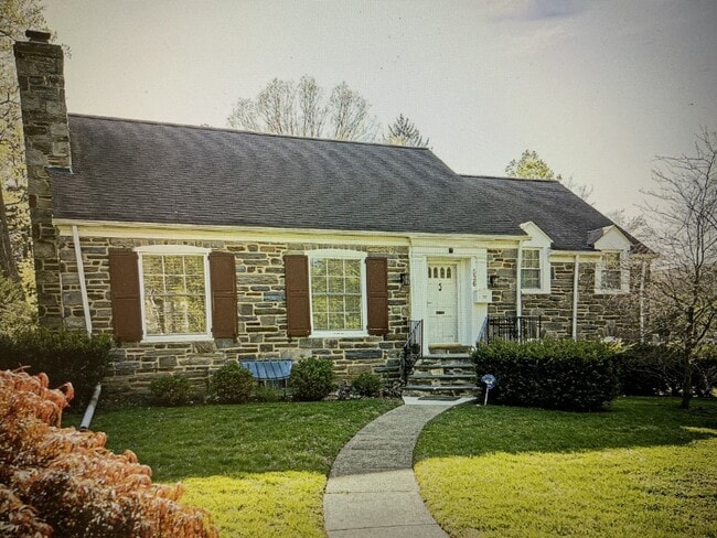
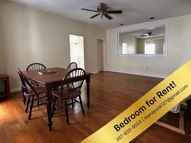
The rental stock runs heavily toward single-family homes on lots averaging just under three-quarters of an acre, with architectural styles ranging from stately French Country estates and brick Colonial Revivals to sprawling ranch-style homes. Brick apartment communities make up the rest of the options.

Penn Valley falls within Lower Merion Township. The Penn Valley Civic Association has marked the community's boundaries since 1930 with iconic signs depicting William Penn and a farmhouse, maintaining the area's distinct identity.

Demographics

Median Household Income

$152,599

Average: $181,100

Education

5,930

Residents Have a Degree

Job Market

5,788

Workers Employed

Age Distribution
Get a sense of this area's population profile.

Median Age

45 Years

Largest Age Group

10-19 Years

Approximately 14% of Residents

Under 20

24%

Over 65

23%

Housing Distribution

Penn Valley has more homeowners than renters.

Renters
26%
Non-Renters
74%

Education Distribution

Review this city's overall education levels.

Bachelor's or Higher
55%
Other Education
45%

Learn More About Penn Valley

Getting Around

Fairly Walkable

Walkability

40 / 100

Limited Public Transit

Transit

30 / 100

Exceptionally Drivable

Drivability

100 / 100

Fairly Bikeable

Bikeability

40 / 100

Points of Interest

Parks and Recreation

  • Rolling Hill Park
  • Arboretum of the Barnes Foundation
  • Merion Botanical Park
  • Saunders Woods Preserve
  • Haverford College Arboretum

Airports

  • Philadelphia International
  • Trenton Mercer

Top Apartments in Penn Valley

Houses for Rent in Penn Valley

Living in Penn Valley

History

-

Long before Penn Valley carried its current name, the land held the identities of three separate areas: Fairview, Crow's Hill, and Bowler's Woods. The territory sits within Lower Merion Township, which Welsh Quakers settled in 1682 and which formally became a township in 1713 with roughly fifty residents.

For much of its early life, the area was farming country. Percival Roberts's 539-acre dairy operation, known as Penshurst, was one of its most notable properties. By the early-to-mid twentieth century, farmland gave way to the quiet residential suburbs that define Penn Valley today, and the civic association established in 1930 drew the borders that still hold.

Restaurants

-

The food scene in Penn Valley centers on a small stretch of Montgomery Avenue, where a handful of local spots serve the surrounding residential streets. The Pub of Penn Valley draws regulars with its diverse pub menu and a welcoming outdoor patio. For something lighter, a French-inspired cafe on the avenue turns out homemade desserts, and a bagel luncheonette offers fresh-baked bagels with specialty schmears. An intimate Italian restaurant to the north rounds out the local options with authentic Roman dishes served in a cozy setting.

Transportation

-

Most streets in Penn Valley have no sidewalks, and the community's layout makes walking to daily errands impractical, so residents primarily rely on a car for travel. Interstate 76, the Schuylkill Expressway, runs along the northern border and provides a direct route into Center City Philadelphia, about 12 miles east.

For rail commuters, several SEPTA Regional Rail stations are reachable within a short drive. The Cynwyd station is roughly two miles away, Merion and Narberth stations are within three miles, and the Manayunk station adds another option a bit further north. Philadelphia International Airport is approximately 17.6 miles southeast, about a 31-minute drive under normal conditions.

Parks

-

West Mill Creek Park sits within Penn Valley itself and features an off-leash dog area with direct creek access and opportunities to observe local wildlife. Just to the west, Rolling Hill Park spreads across nearly 100 acres of woodlands and open meadows laced with multi-use trails. The Creek Trail inside Rolling Hill leads down to Mill Creek, where the ruins of the historic Barker's Mill still stand.

Further north along the Schuylkill River, Flat Rock Park provides a boat launch for kayaking and fishing. Sabine Park lines the community's southern edge on Montgomery Avenue and includes a playground. Within a short drive, the Arboretum of the Barnes Foundation, Merion Botanical Park, Saunders Woods Preserve, and the Haverford College Arboretum all offer additional green space for walks and quiet exploration.

Shopping

-

Shopping in Penn Valley is a drive-first proposition. The nearest commercial center, Rock Hill Plaza, is less than a mile away, and additional retail clusters along Montgomery Avenue handle everyday needs. Grocery runs typically mean a trip to ACME Markets, the primary option serving the area.

Residents looking for independent boutiques or a broader retail mix tend to head into neighboring Narberth, whose walkable commercial district is just a few minutes south and offers a more concentrated selection of local shops and services.

Highlights

-

On Philadelphia's Main Line, Penn Valley delivers quick interstate access to Center City, the highly regarded Lower Merion School District, Schuylkill River recreation at Flat Rock Park, an off-leash dog park at West Mill Creek, and nearly 100 acres of trails at Rolling Hill Park just minutes away.

Search Nearby Rentals

Methodology

† Our analysis of utilities, groceries, transportation, healthcare, home prices, and other goods and services is sourced from the Cost of Living Index, a respected benchmark published by the Council for Community and Economic Research (C2ER) that provides a thorough overview of living expenses across different regions.

Rent data is provided by CoStar Group’s Market Trend reports. As the industry leader in commercial real estate information, analytics, and news, CoStar conducts extensive research to produce and maintain a comprehensive database of commercial real estate information. We combine this data with public record to provide the most up-to-date rental information available.

Consumer goods, services, and home prices are sourced from the Cost of Living Index published by the Council for Community and Economic Research (C2ER). The data on this page is updated quarterly. It was last published in September 2026.

Demographic information comes from Neustar and combines detailed address data with U.S. Census and American Community Survey statistics to produce reliable local estimates.