Median Age
52 Years
Largest Age Group
70-79 Years
Approximately 16% of Residents
Under 20
17%
Over 65
33%

Leverett is a small western Massachusetts town in Franklin County where quiet two-lane roads wind through large wooded lots and the pace of daily life feels genuinely unhurried. With 23 square miles, the town carries the character of classic New England, yet it sits about six miles north of Amherst, putting the cultural energy of the Five College Consortium well within reach. UMass Amherst is about 8 miles away, and Amherst College, Hampshire College, Smith College, and Mount Holyoke are all within a short drive, filling the broader region with lectures, concerts, and events throughout the year.
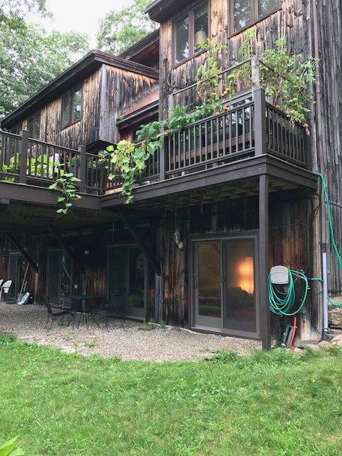
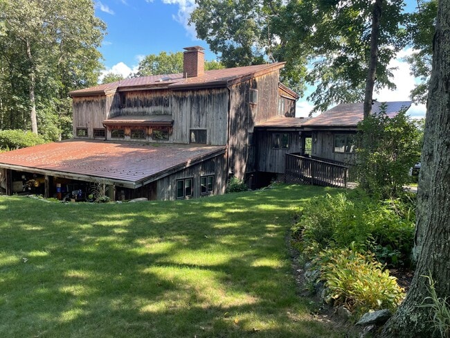
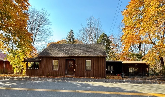
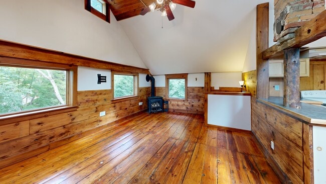
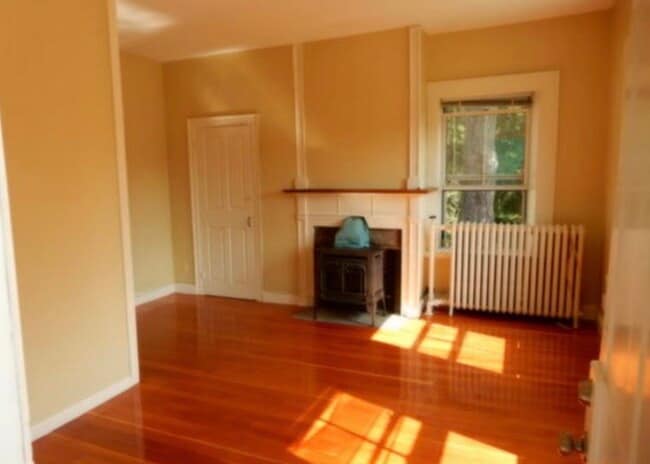
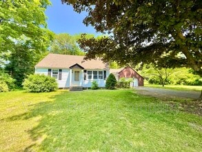
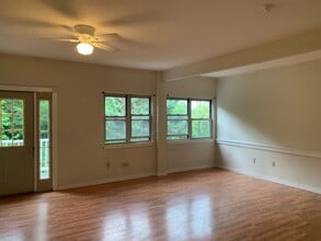
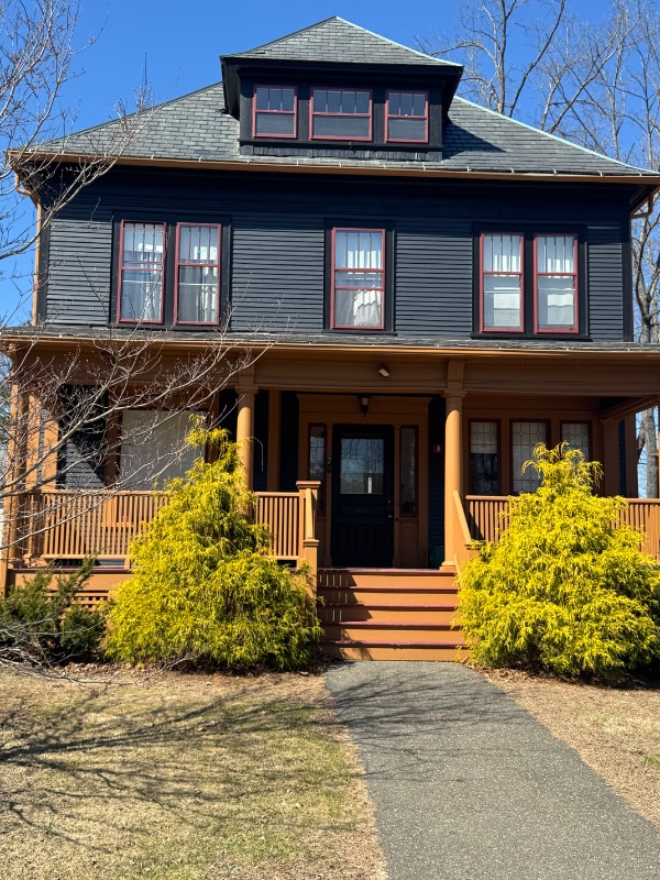
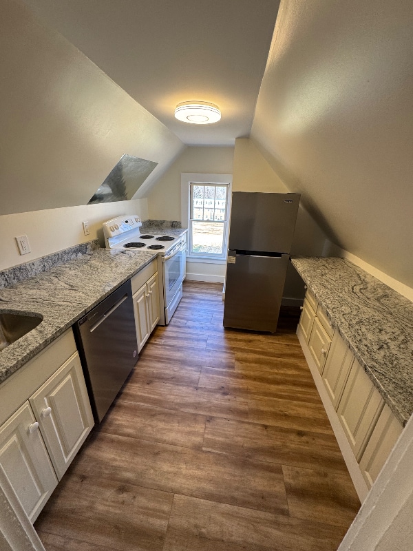
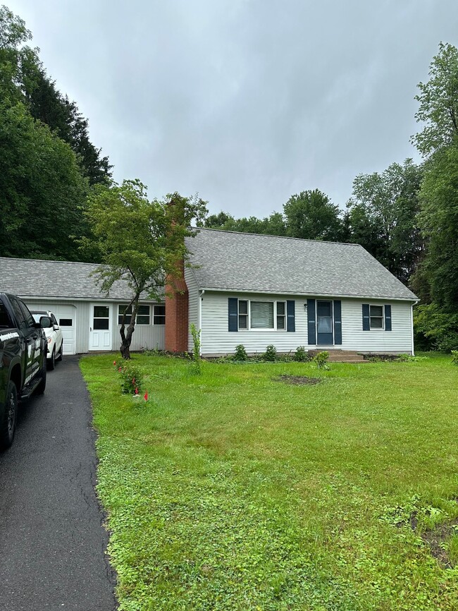
The housing stock leans heavily toward rental homes, ranging from historic Colonials and Cape Cods to farmhouses, midcentury ranch-style houses, and custom eco-friendly builds. Most sit on spacious lots with mature trees, offering privacy that's hard to find closer to town. Renters will find a limited but characterful selection of homes and small apartment communities rather than large complexes.
Named for John Leverett, the 20th Governor of the Massachusetts Bay Colony, the town gained one of its most distinctive landmarks in 1985 when the Nipponzan Myohoji Buddhist order erected a Peace Pagoda here -- a striking monument that draws visitors from well beyond Franklin County. The Leverett Village Co-Op serves as a community anchor, offering fresh-baked bread, pastries, and prepared foods to residents who appreciate having a local gathering spot close to home.
Median Household Income
$105,698
Average: $129,744
Education
1,084
Residents Have a Degree
Job Market
1,052
Workers Employed
Median Age
52 Years
Largest Age Group
70-79 Years
Approximately 16% of Residents
Under 20
17%
Over 65
33%
Housing Distribution
Leverett has more homeowners than renters.

Education Distribution
Review this city's overall education levels.

Explore how walkable, bikeable, drivable, and transit-friendly Leverett, MA is for everyday living.
Not Walkable
Walkability
Exceptionally Drivable
Drivability
Fairly Bikeable
Bikeability

Public
Grades PK-5
135 Students

Public
Grades PK-5
135 Students
 The GreatSchools Rating helps parents compare schools within a state based on a variety of school quality indicators and provides a helpful picture of how effectively each school serves all of its students. Ratings are on a scale of 1 (below average) to 10 (above average) and can include test scores, college readiness, academic progress, advanced courses, equity, discipline and attendance data. We also advise parents to visit schools, consider other information on school performance and programs, and consider family needs as part of the school selection process.
View GreatSchools Rating Methodology
Data provided by
GreatSchools.org
© 2026. All rights reserved.
The GreatSchools Rating helps parents compare schools within a state based on a variety of school quality indicators and provides a helpful picture of how effectively each school serves all of its students. Ratings are on a scale of 1 (below average) to 10 (above average) and can include test scores, college readiness, academic progress, advanced courses, equity, discipline and attendance data. We also advise parents to visit schools, consider other information on school performance and programs, and consider family needs as part of the school selection process.
View GreatSchools Rating Methodology
Data provided by
GreatSchools.org
© 2026. All rights reserved.
† Our analysis of utilities, groceries, transportation, healthcare, home prices, and other goods and services is sourced from the Cost of Living Index, a respected benchmark published by the Council for Community and Economic Research (C2ER) that provides a thorough overview of living expenses across different regions.
Rent data is provided by CoStar Group’s Market Trend reports. As the industry leader in commercial real estate information, analytics, and news, CoStar conducts extensive research to produce and maintain a comprehensive database of commercial real estate information. We combine this data with public record to provide the most up-to-date rental information available.
Consumer goods, services, and home prices are sourced from the Cost of Living Index published by the Council for Community and Economic Research (C2ER). The data on this page is updated quarterly. It was last published in September 2026.
Demographic information comes from Neustar and combines detailed address data with U.S. Census and American Community Survey statistics to produce reliable local estimates.