Median Age
42 Years
Largest Age Group
30-39 Years
Approximately 14% of Residents
Under 20
22%
Over 65
23%
Avg Rent
$1,408
Population
78,140
Renter Mix
45% Rent
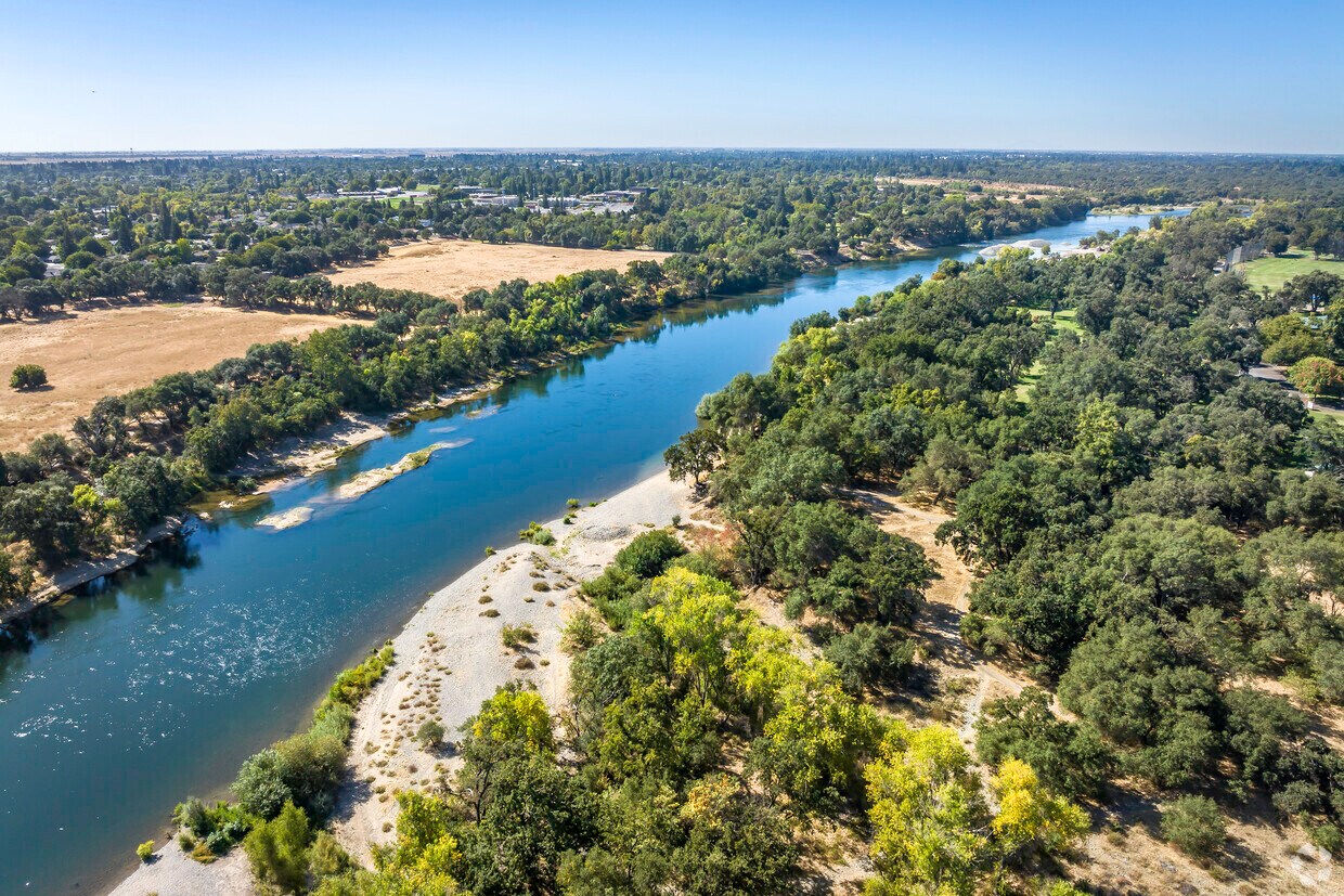
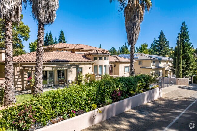
Carmichael is a vibrant yet quiet suburban community that sits just under 11 miles east of California’s capital city, Sacramento. With its southern border formed by the American River and the rest loosely defined by major roads, Carmichael serves a convenient reprieve for families and renters look for more space, peace, and quiet, outside the already alluring Sacramento. A number of parks like Carmichael Park, Gibbons Community Park, Jensen Garden Park, and more give Carmichael an overall vibrant atmosphere. Apartment and house rentals of all varieties from the modern to the vintage, upscale to modest, mean there’s something for everyone here.
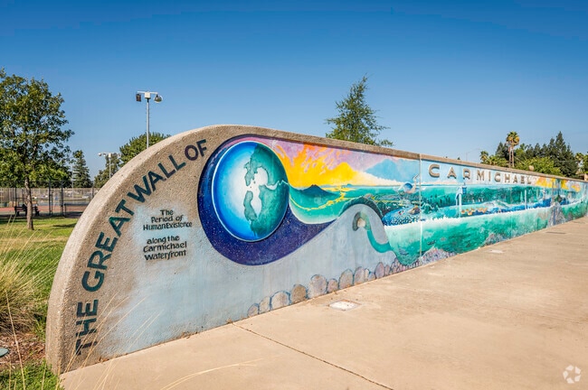
The wall art at Carmichael Park is a great mural welcoming you to Carmichael.
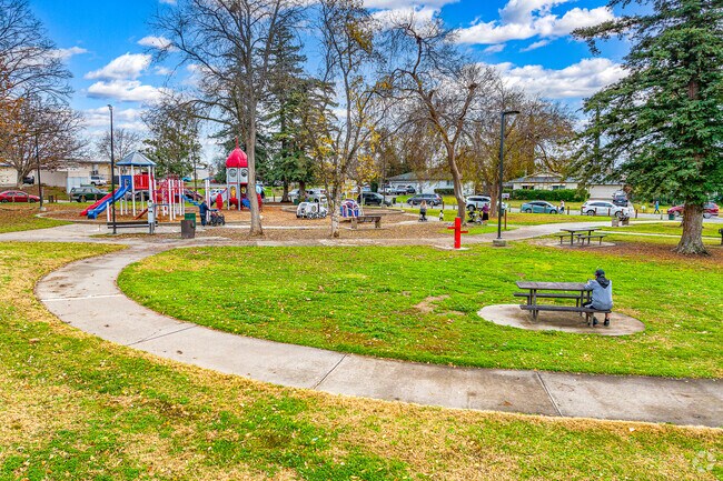
Enjoy a nice afternoon outside at Pioneer Park in Carmichael.
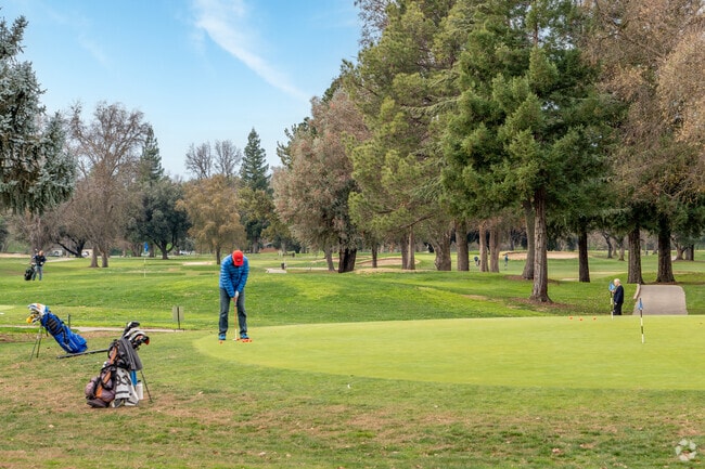
Enjoy a Saturday morning of golf at the Ancil Hoffman Golf Course in Carmichael.
Patrons are enjoying a delicious lunch at Pho House in Carmichael.
Play a round on Carmichael's nine-hole disc golf course.
Kayaking on the American River is very relaxing near Carmichael.
Median Household Income
$82,656
Average: $106,859
Education
23,204
Residents Have a Degree
Job Market
37,468
Workers Employed
Median Age
42 Years
Largest Age Group
30-39 Years
Approximately 14% of Residents
Under 20
22%
Over 65
23%
Housing Distribution
Carmichael has more homeowners than renters.

Education Distribution
Review this city's overall education levels.

As of July 2026, the average apartment rent in Carmichael, CA is $1,254 for a studio, $1,408 for one bedroom, $1,626 for two bedrooms, and $2,077 for three bedrooms. Apartment rent in Carmichael has increased by 0.4% in the past year.
Explore how walkable, bikeable, drivable, and transit-friendly Carmichael, CA is for everyday living.
Fairly Walkable
Walkability
Limited Public Transit
Transit
Very Drivable
Drivability
Fairly Bikeable
Bikeability
Public
Grades K-5
670 Students

Mary Deterding Elementary School
Public
Grades K-5
670 Students
Public
Grades K-5
496 Students

California Montessori Project-San Juan Campus
Public
Grades K-8
1,545 Students

Public
Grades K-5
496 Students
Winston Churchill Middle School
Public
Grades 6-8
987 Students
Public
Grades 6-8
987 Students
California Montessori Project-San Juan Campus
Public
Grades K-8
1,545 Students
Public
Grades 6-8
802 Students

Public
Grades 6-8
802 Students

Public
Grades 6-12
720 Students

Public
Grades K-12
54 Students

† Our analysis of utilities, groceries, transportation, healthcare, home prices, and other goods and services is sourced from the Cost of Living Index, a respected benchmark published by the Council for Community and Economic Research (C2ER) that provides a thorough overview of living expenses across different regions.
Rent data is provided by CoStar Group’s Market Trend reports. As the industry leader in commercial real estate information, analytics, and news, CoStar conducts extensive research to produce and maintain a comprehensive database of commercial real estate information. We combine this data with public record to provide the most up-to-date rental information available.
Consumer goods, services, and home prices are sourced from the Cost of Living Index published by the Council for Community and Economic Research (C2ER). The data on this page is updated quarterly. It was last published in June 2026.
Demographic information comes from Neustar and combines detailed address data with U.S. Census and American Community Survey statistics to produce reliable local estimates.


