
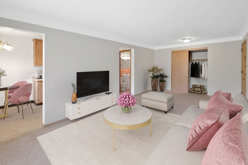
Holden House
1554 Midway Pky,
Saint Paul, MN 55108
$1,399 - $2,150 Plus Fees
Studio - 1 Bed 12 Month Lease

Bedrooms
2 bd
Bathrooms
1 ba
Square Feet
770 sq ft
If you are looking for an apartment home that offers great service and prompt maintenance, this is the place for you!! The property is located right at Larpenteur and Fairview Ave, near the St. Anthony Park neighborhood and within blocks of HarMar Mall, Super Target, Cub Foods and Rosedale. The property is also near Bethel University, Northwestern College, Hamline University and across the street from the University of MN-St. Paul campus.
If you are looking for an apartment home that offers great service and prompt maintenance, this is the place for you!! The property is located right at Larpenteur and Fairview Ave, near the St. Anthony Park neighborhood and within blocks of HarMar Mall, Super Target, Cub Foods and Rosedale. The property is also near Bethel University, Northwestern College, Hamline University and across the street from the University of MN-St. Paul campus.
Larpenteur Crossing is an apartment community located in Ramsey County and the 55113 ZIP Code. This area is served by the Roseville Public School District attendance zone.
Air Conditioning
High Speed Internet Access
Yard
Tub/Shower
Falcon Heights sits quietly between Saint Paul and Minneapolis, yet it carries an identity all its own as home to the University of Minnesota's St. Paul Campus and the Minnesota State Fairgrounds. This small city punches well above its size, with a dense academic presence shaping its day-to-day character alongside a surprisingly walkable street grid lined with mature trees and well-kept green corridors. Neighborhoods here feel settled and grounded, ranging from close-knit residential streets near the university grounds to calmer pockets closer to Roseville and Como Park.
The rental landscape reflects that mix, offering everything from charming older single-family homes converted into apartments to modest multi-unit apartment communities that attract those tied to the U of M, nearby research institutions, and the broader Twin Cities job market.
Learn more about living in Falcon Heights| Colleges & Universities | Distance | ||
|---|---|---|---|
| Colleges & Universities | Distance | ||
| Walk: | 11 min | 0.6 mi | |
| Drive: | 7 min | 2.7 mi | |
| Drive: | 8 min | 3.3 mi | |
| Drive: | 7 min | 3.6 mi |


Transportation options available in Falcon Heights include Raymond Ave Station, located 2.8 miles from Larpenteur Crossing. Larpenteur Crossing is near Minneapolis-St Paul International/Wold-Chamberlain, located 10.6 miles or 22 minutes away.
| Transit / Subway | Distance | ||
|---|---|---|---|
| Transit / Subway | Distance | ||
| Drive: | 7 min | 2.8 mi | |
| Drive: | 8 min | 3.5 mi | |
| Drive: | 8 min | 3.6 mi | |
| Drive: | 10 min | 4.1 mi | |
| Drive: | 10 min | 5.3 mi |
| Commuter Rail | Distance | ||
|---|---|---|---|
| Commuter Rail | Distance | ||
|
|
Drive: | 15 min | 5.4 mi |
|
|
Drive: | 15 min | 7.8 mi |
|
|
Drive: | 16 min | 11.3 mi |
|
|
Drive: | 26 min | 19.8 mi |
|
|
Drive: | 27 min | 21.5 mi |
| Airports | Distance | ||
|---|---|---|---|
| Airports | Distance | ||
|
Minneapolis-St Paul International/Wold-Chamberlain
|
Drive: | 22 min | 10.6 mi |
Scores provided by
Traffic
-Airport
-Businesses
-Scores provided by
HowLoud What is a Sound Score Rating? A Sound Score Rating aggregates noise caused by vehicle traffic, airplane traffic and local sources. How It WorksTime and distance from Larpenteur Crossing.
| Shopping Centers | Distance | ||
|---|---|---|---|
| Shopping Centers | Distance | ||
| Walk: | 11 min | 0.6 mi | |
| Walk: | 12 min | 0.6 mi | |
| Drive: | 3 min | 1.3 mi |
| Parks and Recreation | Distance | ||
|---|---|---|---|
| Parks and Recreation | Distance | ||
|
The Raptor Center - University of Minnesota
|
Walk: | 18 min | 1.0 mi |
|
Como Park
|
Drive: | 4 min | 1.9 mi |
|
Marjorie McNeely Conservatory
|
Drive: | 5 min | 2.2 mi |
|
Como Park Zoo
|
Drive: | 7 min | 2.6 mi |
|
Newell Park
|
Drive: | 5 min | 2.7 mi |
| Hospitals | Distance | ||
|---|---|---|---|
| Hospitals | Distance | ||
| Drive: | 11 min | 5.5 mi | |
| Drive: | 10 min | 5.7 mi | |
| Drive: | 11 min | 5.7 mi |
| Military Bases | Distance | ||
|---|---|---|---|
| Military Bases | Distance | ||
| Drive: | 21 min | 9.4 mi |
Pets Allowed Fitness Center Pool Dishwasher Refrigerator Clubhouse Maintenance on site
Pets Allowed Pool Dishwasher Microwave Granite Countertops
Pets Allowed Fitness Center Pool Dishwasher Refrigerator Kitchen
Pets Allowed Fitness Center Pool Dishwasher Refrigerator Kitchen In Unit Washer & Dryer
What Are Walk Score®, Transit Score®, and Bike Score® Ratings?
Walk Score® measures the walkability of any address. Transit Score® measures access to public transit. Bike Score® measures the bikeability of any address.
What is a Sound Score Rating?
A Sound Score Rating aggregates noise caused by vehicle traffic, airplane traffic and local sources.
1845 Larpenteur Ave W
Falcon Heights, MN 55113


