
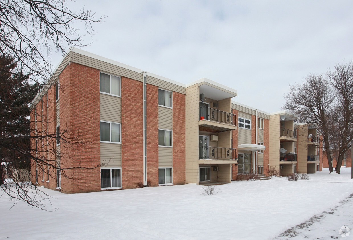
Lake Pointe
3413-3433 53rd Ave N,
Brooklyn Center, MN 55429
Studio - 1 Bed $989 - $1,199

CLOSE TO SHOPPING AND PUBLIC TRANSPORTATION.
Kentucky Lane Apartments is an apartment community located in Hennepin County and the 55428 ZIP Code. This area is served by the Robbinsdale Public attendance zone.
Aire acondicionado
Acceso a Internet de alta velocidad
Nevera
Fogón
With a name like Crystal, you might expect this city to sparkle -- and it does! Crystal is a suburban city located on the northwest side of Minneapolis, with fast access to downtown just seven miles away. Heavily wooded and dotted with lakes, Crystal is as scenic as it is convenient. The city's 27 parks include John Grogan Park, home of the popular Crystal Community Center and the Crystal Grove Aquatic Center.
While it's true that apartments in Crystal will provide fast access to nearby Minneapolis, this convenient location features an airport as well as fast access to I-94 and I-694. The beautiful lakes and emerald green landscape have made Crystal a popular Minneapolis suburb, and its growing economic landscape have earned it a "Minnesota Star City" designation.
Learn more about living in Crystal| Colleges & Universities | Distance | ||
|---|---|---|---|
| Colleges & Universities | Distance | ||
| Drive: | 10 min | 5.3 mi | |
| Drive: | 16 min | 9.8 mi | |
| Drive: | 17 min | 10.3 mi | |
| Drive: | 20 min | 11.1 mi |


Transportation options available in Crystal include Target Field Station Platform 2, located 9.0 miles from Kentucky Lane Apartments. Kentucky Lane Apartments is near Minneapolis-St Paul International/Wold-Chamberlain, located 22.4 miles or 33 minutes away.
| Transit / Subway | Distance | ||
|---|---|---|---|
| Transit / Subway | Distance | ||
| Drive: | 17 min | 9.0 mi | |
|
|
Drive: | 17 min | 10.5 mi |
|
|
Drive: | 17 min | 10.6 mi |
|
|
Drive: | 18 min | 10.8 mi |
|
|
Drive: | 18 min | 11.1 mi |
| Commuter Rail | Distance | ||
|---|---|---|---|
| Commuter Rail | Distance | ||
|
|
Drive: | 13 min | 7.3 mi |
|
|
Drive: | 17 min | 7.4 mi |
|
|
Drive: | 22 min | 13.0 mi |
|
|
Drive: | 24 min | 14.8 mi |
| Drive: | 26 min | 16.6 mi |
| Airports | Distance | ||
|---|---|---|---|
| Airports | Distance | ||
|
Minneapolis-St Paul International/Wold-Chamberlain
|
Drive: | 33 min | 22.4 mi |
Time and distance from Kentucky Lane Apartments.
| Shopping Centers | Distance | ||
|---|---|---|---|
| Shopping Centers | Distance | ||
| Walk: | 9 min | 0.5 mi | |
| Walk: | 11 min | 0.6 mi | |
| Walk: | 14 min | 0.7 mi |
| Parks and Recreation | Distance | ||
|---|---|---|---|
| Parks and Recreation | Distance | ||
|
Victory Park
|
Drive: | 8 min | 3.5 mi |
|
Timber Shores Park
|
Drive: | 7 min | 3.5 mi |
|
Shingle Creek Park
|
Drive: | 10 min | 4.9 mi |
|
Bohanon Park
|
Drive: | 12 min | 5.5 mi |
|
French Regional Park
|
Drive: | 16 min | 5.6 mi |
| Hospitals | Distance | ||
|---|---|---|---|
| Hospitals | Distance | ||
| Drive: | 7 min | 3.8 mi | |
| Drive: | 20 min | 11.3 mi | |
| Drive: | 22 min | 11.9 mi |
| Military Bases | Distance | ||
|---|---|---|---|
| Military Bases | Distance | ||
| Drive: | 30 min | 20.7 mi |
What Are Walk Score®, Transit Score®, and Bike Score® Ratings?
Walk Score® measures the walkability of any address. Transit Score® measures access to public transit. Bike Score® measures the bikeability of any address.
What is a Sound Score Rating?
A Sound Score Rating aggregates noise caused by vehicle traffic, airplane traffic and local sources

6910 54th Ave N
Crystal, MN 55428


