Studio
$1,385+
1 Bed
$1,493+
2 Beds+
$1,945+
Total Monthly Price
Total Monthly Price
New
Prices include required monthly fees of $15.
Base Rent:
Studio
$1,370+
1 Bed
$1,478+
2 Beds+
$1,930+
2 Months Free
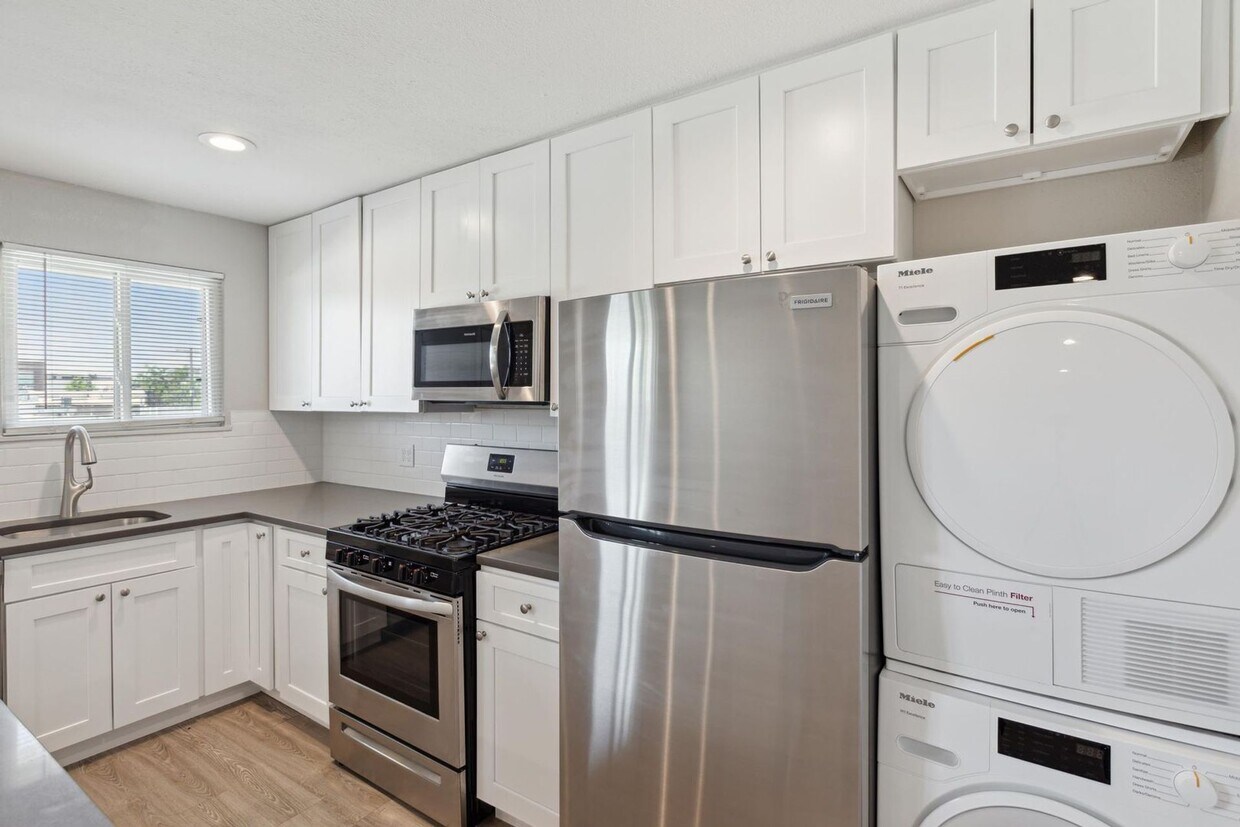
Pets Allowed Fitness Center Pool Dishwasher Refrigerator Kitchen