
The Juniper
1081 Juniper St NE,
Atlanta, GA 30309
$1,965 - $19,085
Studio - 3 Beds

Bedrooms
Studio - 2 bd
Bathrooms
1 - 2 ba
Square Feet
514 - 1,097 sq ft
High Street is a lively community with refined collection of apartments, unparalleled connectivity, unique shopping, dining, and entertainment and first-class office spaces. Welcome to your new favorite destination. Experience premier studio, 1 bedroom, and 2-bedroom apartments in the heart of Atlantas Perimeter. Immersive and modern living with access to it all and unparalleled amenities. Tour our community your way in-person or virtually guided. Contact us today!
High Street Atlanta is an apartment community located in DeKalb County and the 30346 ZIP Code. This area is served by the Dekalb County School District attendance zone.
Unique Features
Pool
Fitness Center
Elevator
Clubhouse
Washer/Dryer
Air Conditioning
Dishwasher
Walk-In Closets
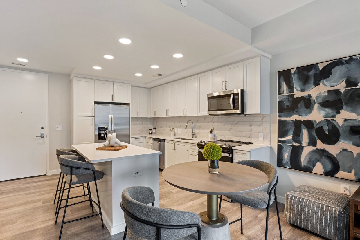
Island Kitchen
Microwave
Refrigerator
Disposal
If you are looking for a bustling shopping and business district in the Atlanta area, then the Perimeter Center neighborhood is the spot for you. Anchored by Perimeter Mall, Perimeter Center is one of metro Atlanta’s largest commercial districts.
Perimeter Center straddles the Perimeter itself, a boundary outlined by Interstate 285 that separates Atlanta from the suburbs. Although a portion of Perimeter Center is considered a part of Atlanta, the area is also comprised of Brookhaven, Dunwoody, and Sandy Springs, some of the city’s most popular suburbs. An abundance of shopping centers and restaurants surround Perimeter Mall, so residents have easy access to plenty of amenities.
High rises filled with offices of major companies like UPS and three major hospitals — Saint Joseph’s, Northside, and Children’s at Scottish Rite — are in Perimeter Center as well.
Learn more about living in Perimeter CenterCompare neighborhood and city base rent averages by bedroom.
| Perimeter Center | Atlanta, GA | |
|---|---|---|
| Studio | $1,547 | $1,497 |
| 1 Bedroom | $1,641 | $1,615 |
| 2 Bedrooms | $2,064 | $1,912 |
| 3 Bedrooms | $2,502 | $2,234 |
| Colleges & Universities | Distance | ||
|---|---|---|---|
| Colleges & Universities | Distance | ||
| Walk: | 19 min | 1.0 mi | |
| Drive: | 10 min | 4.0 mi | |
| Drive: | 10 min | 4.6 mi | |
| Drive: | 20 min | 12.1 mi |


Transportation options available in Atlanta include Dunwoody, located 0.3 mile from High Street Atlanta. High Street Atlanta is near Hartsfield - Jackson Atlanta International, located 24.1 miles or 35 minutes away.
| Transit / Subway | Distance | ||
|---|---|---|---|
| Transit / Subway | Distance | ||
|
|
Walk: | 5 min | 0.3 mi |
|
|
Walk: | 17 min | 0.9 mi |
|
|
Drive: | 3 min | 1.5 mi |
|
|
Drive: | 6 min | 2.2 mi |
|
|
Drive: | 10 min | 4.5 mi |
| Commuter Rail | Distance | ||
|---|---|---|---|
| Commuter Rail | Distance | ||
|
|
Drive: | 16 min | 10.6 mi |
| Airports | Distance | ||
|---|---|---|---|
| Airports | Distance | ||
|
Hartsfield - Jackson Atlanta International
|
Drive: | 35 min | 24.1 mi |
Time and distance from High Street Atlanta.
| Shopping Centers | Distance | ||
|---|---|---|---|
| Shopping Centers | Distance | ||
| Walk: | 8 min | 0.4 mi | |
| Walk: | 8 min | 0.4 mi | |
| Walk: | 10 min | 0.5 mi |
| Parks and Recreation | Distance | ||
|---|---|---|---|
| Parks and Recreation | Distance | ||
|
Sandy Springs Historic Site
|
Drive: | 6 min | 2.7 mi |
|
Dunwoody Nature Center
|
Drive: | 7 min | 3.2 mi |
|
Big Trees Forest Preserve
|
Drive: | 10 min | 5.1 mi |
|
Blue Heron Nature Preserve
|
Drive: | 12 min | 5.8 mi |
|
Chastain Park
|
Drive: | 16 min | 6.1 mi |
| Hospitals | Distance | ||
|---|---|---|---|
| Hospitals | Distance | ||
| Drive: | 3 min | 1.5 mi | |
| Drive: | 3 min | 1.7 mi | |
| Drive: | 3 min | 1.7 mi |
| Military Bases | Distance | ||
|---|---|---|---|
| Military Bases | Distance | ||
| Drive: | 25 min | 14.5 mi | |
| Drive: | 29 min | 19.0 mi |
Pets Allowed Fitness Center Pool Dishwasher In Unit Washer & Dryer Balcony EV Charging
What Are Walk Score®, Transit Score®, and Bike Score® Ratings?
Walk Score® measures the walkability of any address. Transit Score® measures access to public transit. Bike Score® measures the bikeability of any address.
What is a Sound Score Rating?
A Sound Score Rating aggregates noise caused by vehicle traffic, airplane traffic and local sources.
101 High St
Atlanta, GA 30346


