
The Vitagraph
1277 E 14th St,
Brooklyn, NY 11230
$3,707 - $4,000
3 Beds

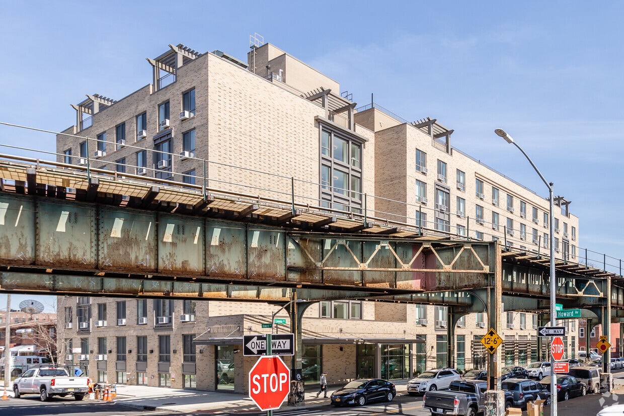
Find your new apartment at Edwin's Place in Brooklyn, NY. This property is situated at 3 Livonia Ave in the Brownsville area of Brooklyn. The professional leasing staff is available to help you find your perfect home. Give us a call now to schedule your tour.
Edwin's Place is an apartment community located in Kings County and the 11212 ZIP Code. This area is served by the New York City Geographic District #23 attendance zone.
Brownsville is a residential neighborhood located about 19 miles southeast of Manhattan in the borough of Brooklyn. Renters appreciate the neighborhood’s affordable housing and accessibility to the city. Several famous people once called Brownsville home, including the Three Stooges. Brownsville boasts walkable streets and excellent access to public transportation. This close-knit community boasts a family-friendly vibe with access to several community parks like Betsy Head Park. Residents live next to the heart of Brooklyn, making Brownsville a great place for commuters.
Learn more about living in Brownsville| Colleges & Universities | Distance | ||
|---|---|---|---|
| Colleges & Universities | Distance | ||
| Drive: | 8 min | 2.9 mi | |
| Drive: | 9 min | 3.7 mi | |
| Drive: | 12 min | 4.2 mi | |
| Drive: | 12 min | 4.4 mi |


Transportation options available in Brooklyn include Saratoga Avenue, located 0.1 mile from Edwin's Place. Edwin's Place is near John F Kennedy International, located 9.7 miles or 16 minutes away, and LaGuardia, located 10.0 miles or 23 minutes away.
| Transit / Subway | Distance | ||
|---|---|---|---|
| Transit / Subway | Distance | ||
|
|
Walk: | 1 min | 0.1 mi |
|
|
Walk: | 7 min | 0.4 mi |
|
|
Walk: | 9 min | 0.5 mi |
|
|
Walk: | 15 min | 0.8 mi |
|
|
Drive: | 5 min | 1.6 mi |
| Commuter Rail | Distance | ||
|---|---|---|---|
| Commuter Rail | Distance | ||
|
|
Drive: | 3 min | 1.7 mi |
|
|
Drive: | 9 min | 3.1 mi |
|
|
Drive: | 12 min | 4.2 mi |
|
|
Drive: | 15 min | 6.6 mi |
|
|
Drive: | 14 min | 6.8 mi |
| Airports | Distance | ||
|---|---|---|---|
| Airports | Distance | ||
|
John F Kennedy International
|
Drive: | 16 min | 9.7 mi |
|
LaGuardia
|
Drive: | 23 min | 10.0 mi |
Time and distance from Edwin's Place.
| Shopping Centers | Distance | ||
|---|---|---|---|
| Shopping Centers | Distance | ||
| Drive: | 3 min | 1.2 mi | |
| Drive: | 3 min | 1.3 mi | |
| Drive: | 5 min | 1.7 mi |
| Parks and Recreation | Distance | ||
|---|---|---|---|
| Parks and Recreation | Distance | ||
|
Betsy Head Memorial Playground
|
Walk: | 6 min | 0.4 mi |
|
St. John's Park
|
Drive: | 5 min | 1.8 mi |
|
Linden Playground
|
Drive: | 4 min | 2.1 mi |
|
Wingate Park
|
Drive: | 7 min | 2.3 mi |
|
Brooklyn Children's Museum
|
Drive: | 7 min | 2.5 mi |
| Hospitals | Distance | ||
|---|---|---|---|
| Hospitals | Distance | ||
| Walk: | 11 min | 0.6 mi | |
| Drive: | 4 min | 1.6 mi | |
| Drive: | 5 min | 1.7 mi |
| Military Bases | Distance | ||
|---|---|---|---|
| Military Bases | Distance | ||
| Drive: | 21 min | 8.3 mi | |
| Drive: | 20 min | 10.2 mi |
What Are Walk Score®, Transit Score®, and Bike Score® Ratings?
Walk Score® measures the walkability of any address. Transit Score® measures access to public transit. Bike Score® measures the bikeability of any address.
What is a Sound Score Rating?
A Sound Score Rating aggregates noise caused by vehicle traffic, airplane traffic and local sources
7 Livonia Ave
Brooklyn, NY 11212


