
Montoya Garden
5005 Montoya Ave,
Richmond, CA 94805
$1,690 - $2,315
Studio - 2 Beds
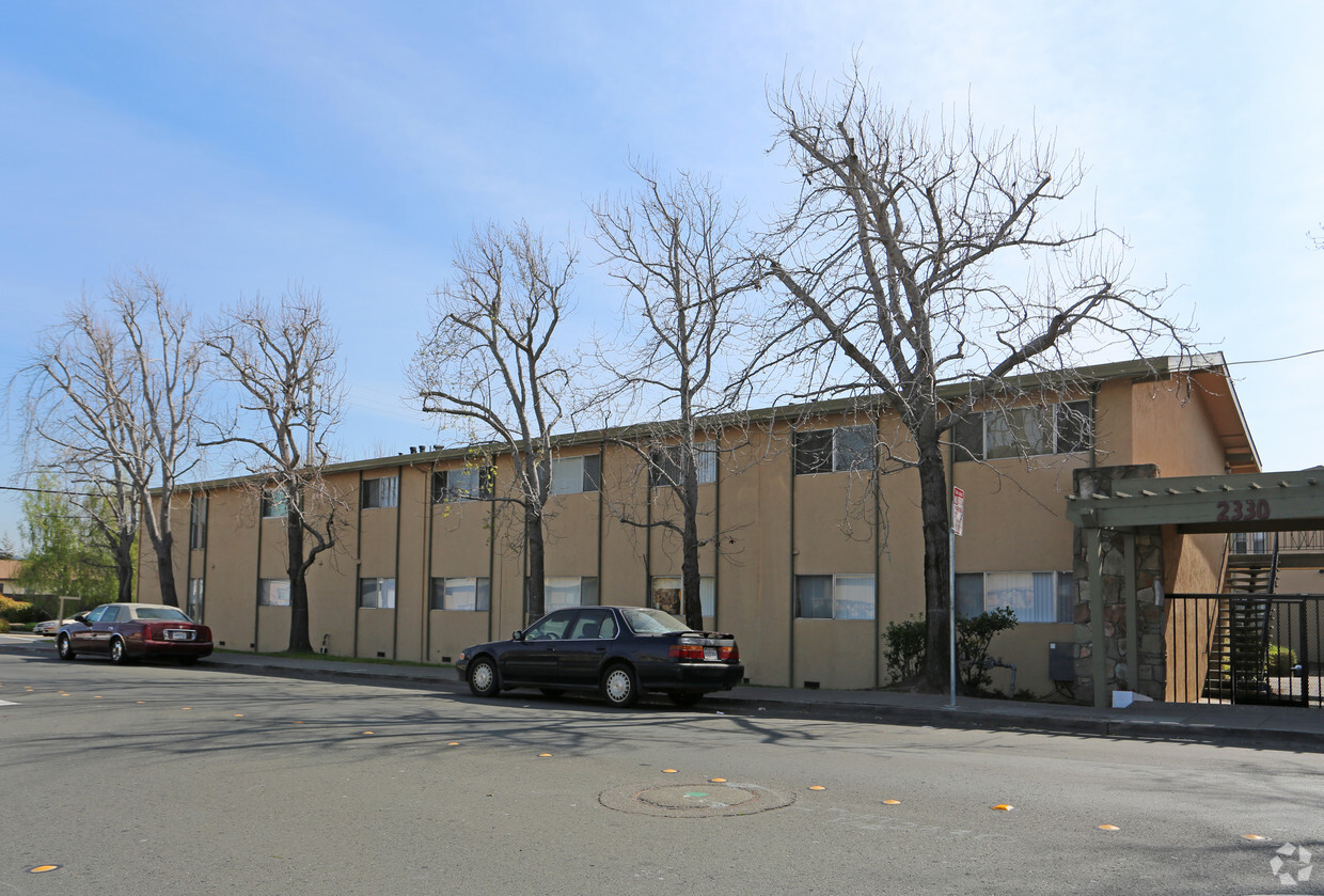
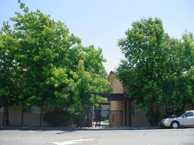
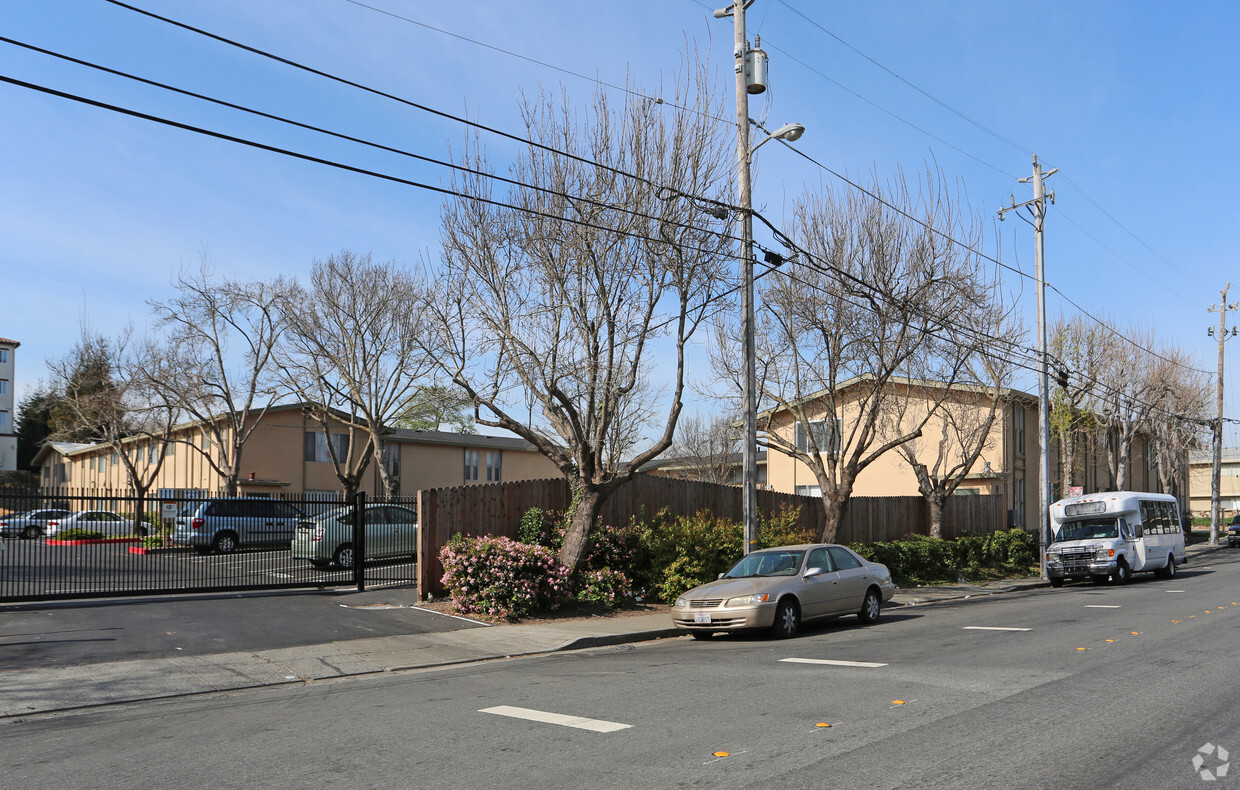
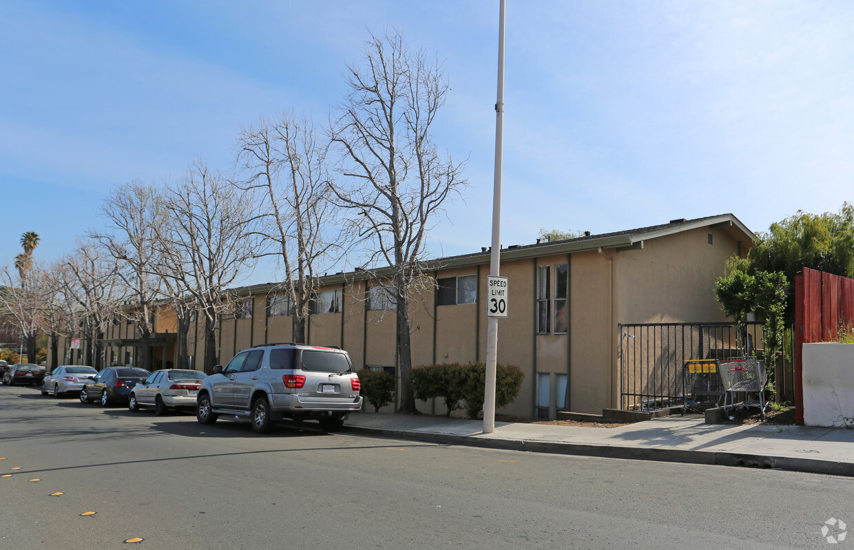

At Church Lane Apartment Homes in San Pablo, find a great place to live. Located in the 94806 Zip code of San Pablo on Church Ln., renters have an easy connection to a variety of entertainment options found in the surrounding area. From pricing to features, the professional leasing staff is ready to help you find your new home. Come by to see the current floorplan options. Experience a new standard at Church Lane Apartment Homes.
Church Lane Apartment Homes is an apartment community located in Contra Costa County and the 94806 ZIP Code. This area is served by the West Contra Costa Unified attendance zone.
High Speed Internet Access
Smoke Free
Heating
Range
Completely encompassed by the city of Richmond, San Pablo is a unique city nearing the coast of both the San Francisco Bay and San Pablo Bay. Beautiful bay views along the west coast are always a plus in our book! And on the other end of town, San Pablo borders Wildcat Canyon Regional Park. Though wildcat sightings are unlikely, these picturesque rolling hills are more known for their multi-use trails, playgrounds, and scenic picnic spots.
San Pablo boasts a diverse community with relatively affordable housing in comparison to neighboring cities. The city’s tight-knit community supports education and community growth, and Contra Costa College is a pristine example of that with its welcoming atmosphere and numerous athletic programs.
Along with a family-friendly vibe, San Pablo is a great place to find everyday conveniences such as casual dining, grocery stores, banks, and more.
Learn more about living in San Pablo| Colleges & Universities | Distance | ||
|---|---|---|---|
| Colleges & Universities | Distance | ||
| Walk: | 20 min | 1.1 mi | |
| Drive: | 17 min | 9.3 mi | |
| Drive: | 20 min | 10.3 mi | |
| Drive: | 25 min | 14.4 mi |


Transportation options available in San Pablo include Richmond Station, located 2.3 miles from Church Lane Apartment Homes. Church Lane Apartment Homes is near Metro Oakland International, located 22.3 miles or 32 minutes away, and San Francisco International, located 29.9 miles or 44 minutes away.
| Transit / Subway | Distance | ||
|---|---|---|---|
| Transit / Subway | Distance | ||
|
|
Drive: | 5 min | 2.3 mi |
|
|
Drive: | 6 min | 3.0 mi |
|
|
Drive: | 6 min | 3.0 mi |
|
|
Drive: | 9 min | 5.0 mi |
|
|
Drive: | 15 min | 8.7 mi |
| Commuter Rail | Distance | ||
|---|---|---|---|
| Commuter Rail | Distance | ||
| Drive: | 6 min | 2.5 mi | |
|
|
Drive: | 12 min | 7.9 mi |
|
|
Drive: | 15 min | 9.7 mi |
| Drive: | 22 min | 12.6 mi | |
| Drive: | 22 min | 13.6 mi |
| Airports | Distance | ||
|---|---|---|---|
| Airports | Distance | ||
|
Metro Oakland International
|
Drive: | 32 min | 22.3 mi |
|
San Francisco International
|
Drive: | 44 min | 29.9 mi |
Time and distance from Church Lane Apartment Homes.
| Shopping Centers | Distance | ||
|---|---|---|---|
| Shopping Centers | Distance | ||
| Walk: | 4 min | 0.2 mi | |
| Walk: | 5 min | 0.3 mi | |
| Walk: | 9 min | 0.5 mi |
| Parks and Recreation | Distance | ||
|---|---|---|---|
| Parks and Recreation | Distance | ||
|
Marina Park & Green
|
Drive: | 9 min | 3.8 mi |
|
Point Pinole Regional Shoreline
|
Drive: | 8 min | 4.0 mi |
|
Rosie the Riveter WWII Home Front National Historical Park
|
Drive: | 10 min | 4.3 mi |
|
Shimada Friendship Park
|
Drive: | 10 min | 4.3 mi |
|
Wildcat Canyon Regional Park
|
Drive: | 13 min | 5.6 mi |
| Hospitals | Distance | ||
|---|---|---|---|
| Hospitals | Distance | ||
| Drive: | 19 min | 10.9 mi | |
| Drive: | 17 min | 11.8 mi |
| Military Bases | Distance | ||
|---|---|---|---|
| Military Bases | Distance | ||
| Walk: | 16 min | 0.9 mi | |
| Drive: | 12 min | 5.7 mi | |
| Drive: | 25 min | 16.0 mi |
What Are Walk Score®, Transit Score®, and Bike Score® Ratings?
Walk Score® measures the walkability of any address. Transit Score® measures access to public transit. Bike Score® measures the bikeability of any address.
What is a Sound Score Rating?
A Sound Score Rating aggregates noise caused by vehicle traffic, airplane traffic and local sources

2330 Church Ln
San Pablo, CA 94806


