
610 West
6717 Oak Grove Pkwy,
Brooklyn Park, MN 55445
$1,424 - $3,856
Studio - 3 Beds

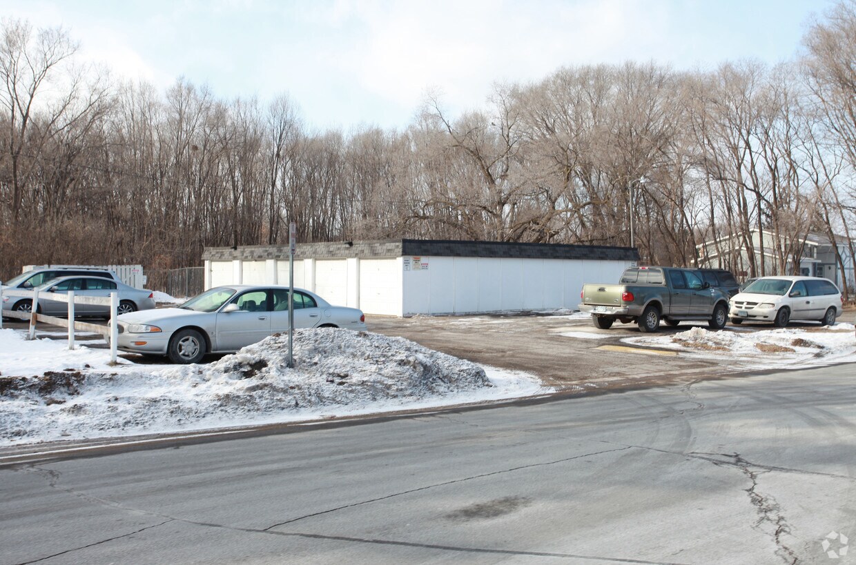

Visit Blue Ridge in Brooklyn Park. This community is located in Brooklyn Park at 6325 Douglas Dr. N in the 55429 area. Here at this community, the leasing staff is excited to help you find your new apartment. Schedule a time to check out the apartment floorplan options. Experience a new standard at Blue Ridge.
Blue Ridge is an apartment community located in Hennepin County and the 55429 ZIP Code. This area is served by the Robbinsdale Public attendance zone.
Refrigerator
Tub/Shower
Heating
Oven
The Skyway neighborhood consists of the businesses, shops, and apartments that line the Minneapolis Skyway System. A climate-controlled series of pedestrian footbridges, located one or two stories above ground, the Minneapolis Skyway links multiple buildings over a eighty-block area of downtown Minneapolis.
The Skyway System hosts thousands of commuters and visitors every day. If you live in an apartment connected to the Skyway System and work in one of the major buildings in downtown Minneapolis, you can avoid stepping outside all winter long, as the Skyway provides access to home, work, shops, entertainment from theater to professional sports, and almost everything else you could possibly need.
Learn more about living in Skyway| Colleges & Universities | Distance | ||
|---|---|---|---|
| Colleges & Universities | Distance | ||
| Drive: | 6 min | 3.5 mi | |
| Drive: | 17 min | 11.0 mi | |
| Drive: | 17 min | 11.4 mi | |
| Drive: | 21 min | 13.2 mi |


Transportation options available in Brooklyn Park include Target Field Station Platform 2, located 11.6 miles from Blue Ridge. Blue Ridge is near Minneapolis-St Paul International/Wold-Chamberlain, located 23.6 miles or 34 minutes away.
| Transit / Subway | Distance | ||
|---|---|---|---|
| Transit / Subway | Distance | ||
| Drive: | 17 min | 11.6 mi | |
|
|
Drive: | 17 min | 11.8 mi |
|
|
Drive: | 17 min | 11.9 mi |
|
|
Drive: | 17 min | 11.9 mi |
|
|
Drive: | 18 min | 12.1 mi |
| Commuter Rail | Distance | ||
|---|---|---|---|
| Commuter Rail | Distance | ||
|
|
Drive: | 10 min | 6.7 mi |
|
|
Drive: | 18 min | 8.6 mi |
|
|
Drive: | 18 min | 10.9 mi |
|
|
Drive: | 21 min | 12.6 mi |
| Drive: | 22 min | 14.4 mi |
| Airports | Distance | ||
|---|---|---|---|
| Airports | Distance | ||
|
Minneapolis-St Paul International/Wold-Chamberlain
|
Drive: | 34 min | 23.6 mi |
Time and distance from Blue Ridge.
| Shopping Centers | Distance | ||
|---|---|---|---|
| Shopping Centers | Distance | ||
| Drive: | 3 min | 1.3 mi | |
| Drive: | 3 min | 1.8 mi | |
| Drive: | 3 min | 1.9 mi |
| Parks and Recreation | Distance | ||
|---|---|---|---|
| Parks and Recreation | Distance | ||
|
Shingle Creek Park
|
Drive: | 10 min | 4.2 mi |
|
Timber Shores Park
|
Drive: | 10 min | 4.5 mi |
|
Victory Park
|
Drive: | 8 min | 4.7 mi |
|
Webber Park
|
Drive: | 12 min | 5.9 mi |
|
Bohanon Park
|
Drive: | 11 min | 7.3 mi |
| Hospitals | Distance | ||
|---|---|---|---|
| Hospitals | Distance | ||
| Drive: | 8 min | 5.0 mi | |
| Drive: | 13 min | 9.0 mi | |
| Drive: | 20 min | 12.7 mi |
| Military Bases | Distance | ||
|---|---|---|---|
| Military Bases | Distance | ||
| Drive: | 31 min | 21.9 mi |
What Are Walk Score®, Transit Score®, and Bike Score® Ratings?
Walk Score® measures the walkability of any address. Transit Score® measures access to public transit. Bike Score® measures the bikeability of any address.
What is a Sound Score Rating?
A Sound Score Rating aggregates noise caused by vehicle traffic, airplane traffic and local sources
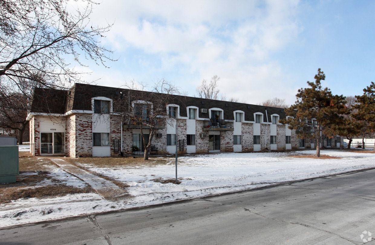
6325 Douglas Dr N
Brooklyn Park, MN 55429


