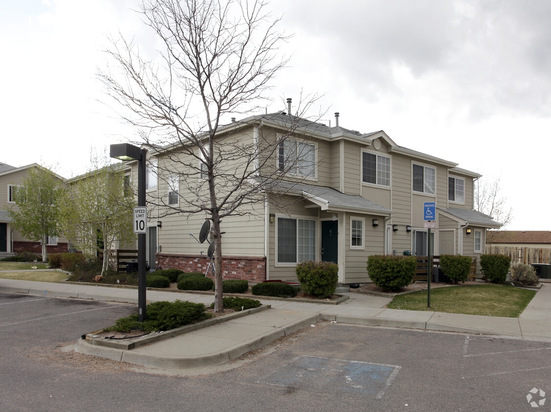
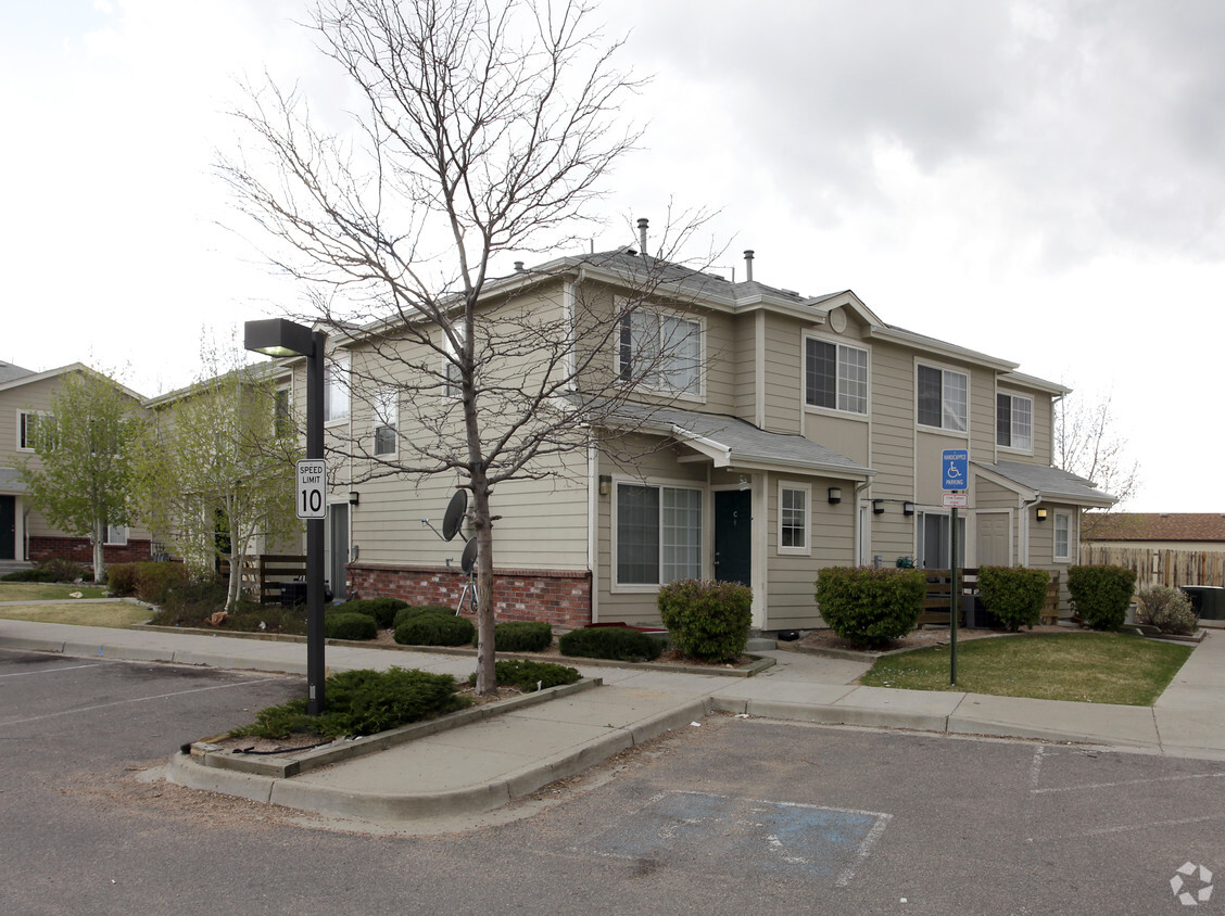
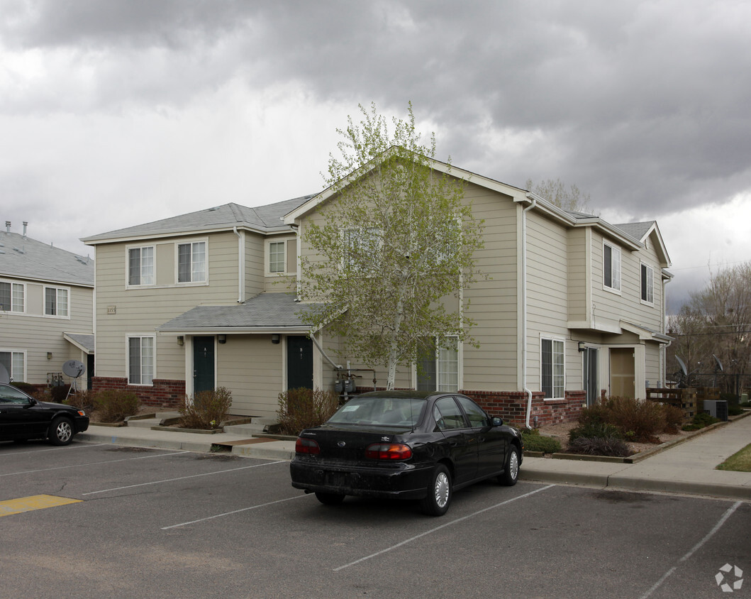
NOVEL Uptown by Crescent Communities
1557 N Logan St,
Denver, CO 80203
Studio - 2 Beds $1,715 - $4,345
Check out Arapahoe Green in Denver. The location of this community is in Denver at 1135 S. Xenia St. in the 80247 area. Be sure to see the available floorplan options. From availability to location, the community staff is ready to match you with your new place. Drop by Arapahoe Green today.
Arapahoe Green is an apartment community located in Arapahoe County and the 80247 ZIP Code. This area is served by the Cherry Creek 5 attendance zone.
Cherry Creek South is a beautifully-landscaped community 10 miles outside of Downtown Denver. Copper Kettle Brewing Company and Comrade Brewing Company are two breweries that make up the neighborhood, alongside a handful of parks and restaurants. Avid golfers will appreciate the 18-hole golf course at Cherry Creek Country Club as well as its spa.
The Gardens on Havana shopping center afford residents a wide array of retailers. Locals are often grocery shopping for produce at Sprouts Farmers Market, or browsing sales and promotions at Kohl’s or Ulta Beauty. Cherry Creek South residents enjoy its amenities as well as direct access to Interstate 24 and Interstate 275. In addition to cheap Cherry Creek South apartments, residents enjoy nearby lake activities and proximity to University of Denver.
Learn more about living in Cherry Creek SouthColleges & Universities | Distance | ||
---|---|---|---|
Colleges & Universities | Distance | ||
Drive: | 8 min | 3.3 mi | |
Drive: | 12 min | 5.9 mi | |
Drive: | 14 min | 6.1 mi | |
Drive: | 12 min | 6.6 mi |
Transportation options available in Denver include Florida Station, located 3.8 miles from Arapahoe Green. Arapahoe Green is near Denver International, located 21.7 miles or 29 minutes away.
Transit / Subway | Distance | ||
---|---|---|---|
Transit / Subway | Distance | ||
Drive: | 7 min | 3.8 mi | |
|
Drive: | 10 min | 4.4 mi |
|
Drive: | 11 min | 5.0 mi |
Drive: | 10 min | 5.4 mi | |
|
Drive: | 14 min | 8.8 mi |
Commuter Rail | Distance | ||
---|---|---|---|
Commuter Rail | Distance | ||
Drive: | 15 min | 7.0 mi | |
Drive: | 15 min | 7.1 mi | |
Drive: | 15 min | 7.7 mi | |
Drive: | 17 min | 7.7 mi |
Airports | Distance | ||
---|---|---|---|
Airports | Distance | ||
Denver International
|
Drive: | 29 min | 21.7 mi |
Time and distance from Arapahoe Green.
Shopping Centers | Distance | ||
---|---|---|---|
Shopping Centers | Distance | ||
Walk: | 11 min | 0.6 mi | |
Walk: | 13 min | 0.7 mi | |
Walk: | 14 min | 0.7 mi |
Parks and Recreation | Distance | ||
---|---|---|---|
Parks and Recreation | Distance | ||
Del Mar Park
|
Drive: | 8 min | 4.2 mi |
Chamberlin & Mt. Evans Observatories
|
Drive: | 12 min | 5.4 mi |
Washington Park
|
Drive: | 13 min | 5.5 mi |
Denver Museum of Nature & Science
|
Drive: | 13 min | 5.9 mi |
Bluff Lake Nature Center
|
Drive: | 13 min | 6.8 mi |
Hospitals | Distance | ||
---|---|---|---|
Hospitals | Distance | ||
Drive: | 7 min | 3.4 mi | |
Drive: | 11 min | 4.7 mi | |
Drive: | 11 min | 5.5 mi |
Military Bases | Distance | ||
---|---|---|---|
Military Bases | Distance | ||
Drive: | 32 min | 10.1 mi | |
Drive: | 78 min | 62.1 mi | |
Drive: | 87 min | 71.8 mi |
What Are Walk Score®, Transit Score®, and Bike Score® Ratings?
Walk Score® measures the walkability of any address. Transit Score® measures access to public transit. Bike Score® measures the bikeability of any address.
What is a Sound Score Rating?
A Sound Score Rating aggregates noise caused by vehicle traffic, airplane traffic and local sources