
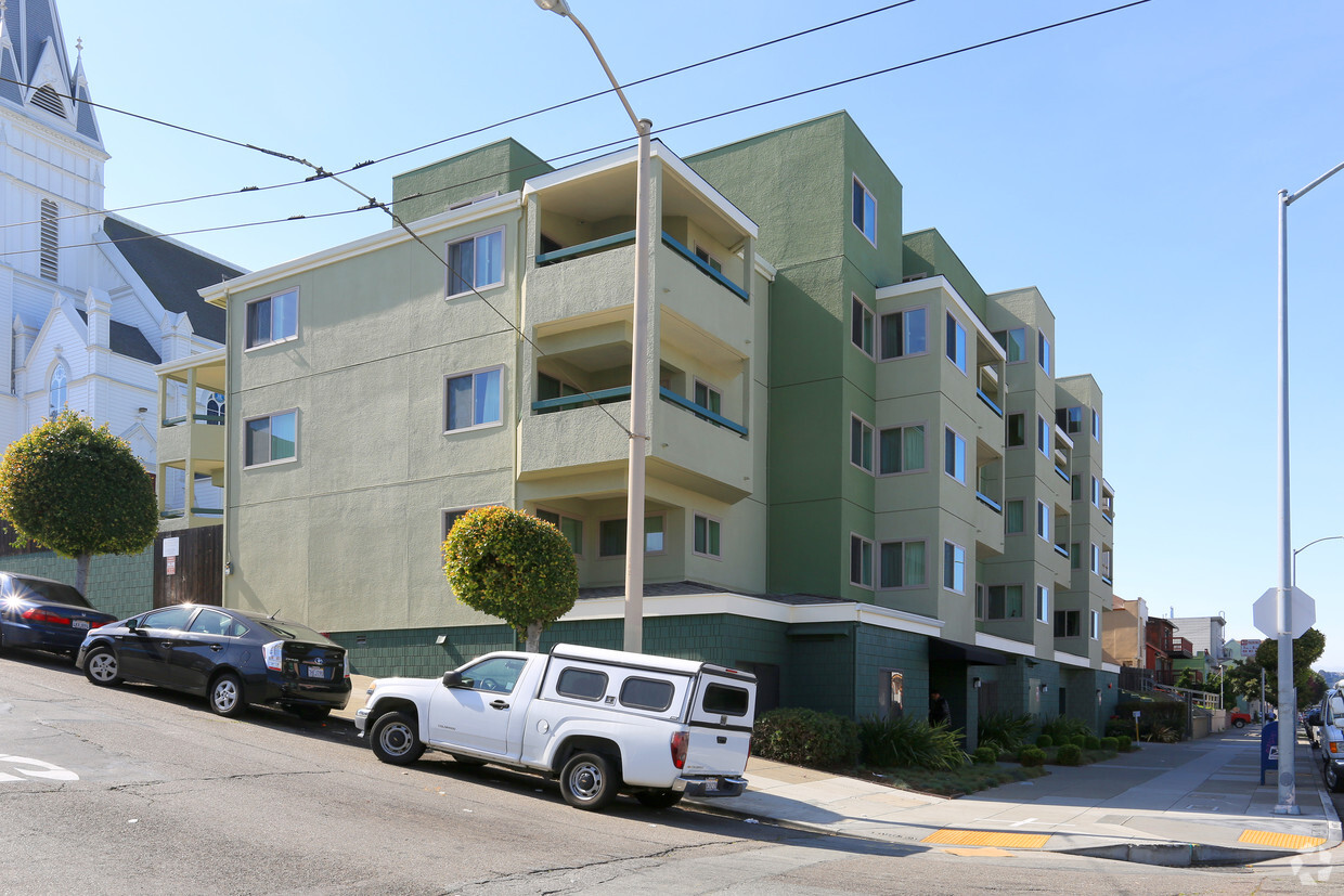
Isle House
39 Bruton St,
San Francisco, CA 94130
$3,265 - $7,635
Studio - 3 Beds

Thank you for visiting All Hallows Community in San Francisco. These apartments are located in San Francisco on Oakdale Ave in the 94124 area. From amenities to availability, the professional leasing team will assist you in finding the perfect new home. Be sure to come for a visit to check out the apartment floorplan options. Contact us or drop by to check the current floorplan availability today and make your move to All Hallows Community.
All Hallows Community is an apartment community located in San Francisco County and the 94124 ZIP Code. This area is served by the San Francisco Unified attendance zone.
San Francisco is known for an array of attractions like the Golden Gate Bridge and Alcatraz, Chinatown and cable cars, the Painted Ladies and Fisherman’s Wharf, and so much more. This bayside city offers something for everyone. From its hilly streets to the sparkling water of the San Francisco Bay, this city is truly iconic. But it’s not just a tourist destination – San Francisco is a major metropolis with a powerhouse economy, featuring businesses like Dropbox, Reddit, Levi Strauss & Co, Wikimedia Foundation, Yelp, Twitter, and Weather Underground.
San Francisco is full of famous neighborhoods, from Haight-Ashbury and Pacific Heights to the Mission District and the Castro. Each district features its own distinctive personality. The art, culture, and entertainment scene in San Francisco is alive and well. Check out the San Francisco Museum of Modern Art, Golden Gate Park, Lands End Lookout, Union Square, Oracle Park, and the city’s sandy beaches like Ocean Beach and Baker Beach.
Learn more about living in San Francisco| Colleges & Universities | Distance | ||
|---|---|---|---|
| Colleges & Universities | Distance | ||
| Drive: | 6 min | 3.0 mi | |
| Drive: | 7 min | 3.3 mi | |
| Drive: | 8 min | 4.0 mi | |
| Drive: | 9 min | 4.7 mi |


Transportation options available in San Francisco include Oakdale/Palou Station, located 0.1 mile from All Hallows Community. All Hallows Community is near San Francisco International, located 10.5 miles or 17 minutes away, and Metro Oakland International, located 22.4 miles or 34 minutes away.
| Transit / Subway | Distance | ||
|---|---|---|---|
| Transit / Subway | Distance | ||
|
|
Walk: | 2 min | 0.1 mi |
|
|
Walk: | 5 min | 0.3 mi |
|
|
Walk: | 6 min | 0.3 mi |
|
|
Walk: | 8 min | 0.4 mi |
|
|
Walk: | 10 min | 0.5 mi |
| Commuter Rail | Distance | ||
|---|---|---|---|
| Commuter Rail | Distance | ||
| Drive: | 6 min | 2.6 mi | |
| Drive: | 7 min | 2.8 mi | |
| Drive: | 7 min | 2.9 mi | |
| Drive: | 7 min | 4.0 mi | |
| Drive: | 7 min | 4.0 mi |
| Airports | Distance | ||
|---|---|---|---|
| Airports | Distance | ||
|
San Francisco International
|
Drive: | 17 min | 10.5 mi |
|
Metro Oakland International
|
Drive: | 34 min | 22.4 mi |
Time and distance from All Hallows Community.
| Shopping Centers | Distance | ||
|---|---|---|---|
| Shopping Centers | Distance | ||
| Walk: | 11 min | 0.6 mi | |
| Drive: | 7 min | 2.3 mi | |
| Drive: | 6 min | 2.9 mi |
| Parks and Recreation | Distance | ||
|---|---|---|---|
| Parks and Recreation | Distance | ||
|
Heron's Head Park
|
Drive: | 4 min | 1.3 mi |
|
Candlestick Point State Recreation Area
|
Drive: | 7 min | 1.8 mi |
|
Children's Creativity Museum
|
Drive: | 8 min | 4.3 mi |
|
Buena Vista Park
|
Drive: | 10 min | 4.8 mi |
|
Randall Museum
|
Drive: | 11 min | 5.0 mi |
| Hospitals | Distance | ||
|---|---|---|---|
| Hospitals | Distance | ||
| Drive: | 5 min | 1.8 mi | |
| Drive: | 4 min | 2.3 mi | |
| Drive: | 7 min | 2.4 mi |
| Military Bases | Distance | ||
|---|---|---|---|
| Military Bases | Distance | ||
| Drive: | 30 min | 16.7 mi | |
| Drive: | 30 min | 16.9 mi |
What Are Walk Score®, Transit Score®, and Bike Score® Ratings?
Walk Score® measures the walkability of any address. Transit Score® measures access to public transit. Bike Score® measures the bikeability of any address.
What is a Sound Score Rating?
A Sound Score Rating aggregates noise caused by vehicle traffic, airplane traffic and local sources

1711 Oakdale Ave
San Francisco, CA 94124


