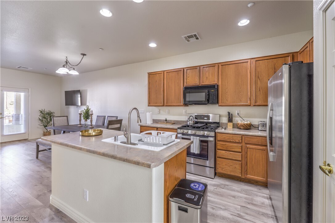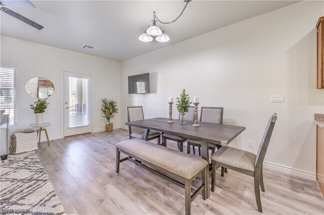
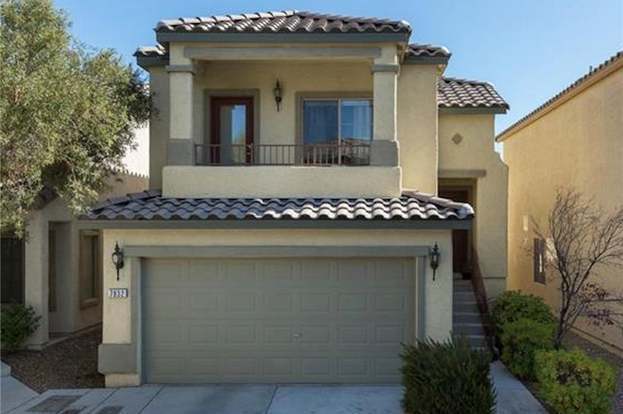


3 Beds
$1,600
Total Monthly Price
12 Month Lease
Total Monthly Price
New
Prices include all required monthly fees.
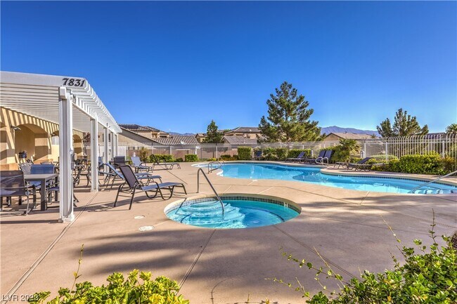
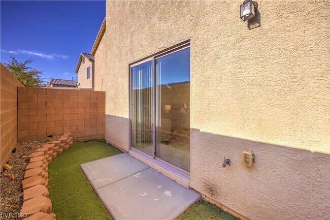
9325 W Desert Inn Unit 271