

$4,500
/ Month
77 Herkimer St
Brooklyn, NY 11216
Today
|
Edit
Favorites
646-770-2572
-
Bedrooms
4
-
Bathrooms
1
-
Square Feet
--
-
Available
Available Now
Highlights
- Wood Flooring
- Heating System Uses Steam
77 Herkimer St

Favorites
About This Home
Available Now
Full floor apt with high ceilings and hardwood floors throughout. Loads of space in this tree lined gem, large kitchen with 5 foot window and cabinets galore. Less than a block walk to the A/C at Nostrand Ave.
77 Herkimer St is a house located in Kings County and the 11216 ZIP Code. This area is served by the Leadership Preparatory Bedford Stuyvesant Charter School attendance zone.
* Price shown is base rent. Excludes user-selected optional fees and variable or usage-based fees and required charges due at or prior to move-in or at move-out. Price, availability, fees, and any applicable rent special are subject to change without notice.
* Square footage definitions vary. Displayed square footage is approximate.
Home Details
Home Type
Single Family Detached Home
Bedrooms and Bathrooms
1 Full Bathroom
4 Bedrooms
Flooring
Wood Flooring
Home Design
Brick Exterior Construction
Kitchen
Oven
Listing and Financial Details
12-Month Minimum Lease Term
Utilities
Heating System Uses Steam
Community Details
Overview
Bedford Stuyvesant Community
Contact
- Listed by Lisa Pierre | NYStateMLS#NY
- Phone Number
- Contact
-
Source
NY State MLS
Copyright © 2026 NY State MLS. All rights reserved. All information provided by the listing agent/broker is deemed reliable but is not guaranteed and should be independently verified.
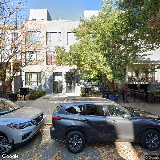
Location
Get Directions
Bedford-Stuyvesant, often shortened to Bed-Stuy, sits in north central Brooklyn, touting plenty of classic brownstones along tree-lined streets. Bed-Stuy is revered for its historic architecture, containing one of the highest concentrations of Victorian properties in all of New York City.
Residents enjoy a strong sense of community in Bed-Stuy along with an array of diverse eateries, cafes, and bodegas. Herbert Von King Park lies at the center of the neighborhood, exuding a lively town-square atmosphere with an outdoor amphitheater, Cultural Arts Center, and athletic facilities. Convenience to public transportation and I-278 makes commuting and traveling from Bed-Stuy a breeze.
Learn more about living in Bedford-Stuyvesant
Amenities
- Smoke Free
- Fireplace
- Oven
- Refrigerator
- Hardwood Floors
Education
| Colleges & Universities | Distance | ||
|---|---|---|---|
| Colleges & Universities | Distance | ||
| Drive: | 4 min | 1.3 mi | |
| Drive: | 5 min | 1.5 mi | |
| Drive: | 4 min | 1.7 mi | |
| Drive: | 5 min | 2.3 mi |
77 Herkimer St is within 4 minutes or 1.3 miles from Medgar Evers College, CUNY. It is also near Pratt Institute and Saint Joseph's Coll, Brooklyn.
Schools


Charter Elementary, Middle & High School
Grades K-12
1,186 Students
Nearby
Public Elementary, Middle & High School
Grades K-10
318 Students
Nearby
Public Elementary School
Grades PK-5
172 Students
Attendance Zone
Private Elementary, Middle & High School
Grades 1-12
Nearby
Private Elementary & Middle School
Grades PK-8
160 Students
Nearby
Private Elementary & Middle School
Grades PK-8
79 Students
Nearby
Private Elementary School
Grades PK-5
Nearby
School data provided by
 The GreatSchools Rating helps parents compare schools within a state based on a variety of school quality indicators and provides a helpful picture of how effectively each school serves all of its students. Ratings are on a scale of 1 (below average) to 10 (above average) and can include test scores, college readiness, academic progress, advanced courses, equity, discipline and attendance data. We also advise parents to visit schools, consider other information on school performance and programs, and consider family needs as part of the school selection process.
View GreatSchools Rating Methodology
Data provided by GreatSchools.org © 2026. All rights reserved.
View GreatSchools Rating Methodology
Data provided by GreatSchools.org © 2026. All rights reserved.
Transportation options available in Brooklyn include Nostrand Avenue (A,C Line), located 0.1 mile from 77 Herkimer St. 77 Herkimer St is near LaGuardia, located 10.5 miles or 20 minutes away, and John F Kennedy International, located 11.0 miles or 23 minutes away.
| Transit / Subway | Distance | ||
|---|---|---|---|
| Transit / Subway | Distance | ||
|
|
Walk: | 1 min | 0.1 mi |
|
|
Walk: | 6 min | 0.3 mi |
|
|
Walk: | 10 min | 0.6 mi |
|
|
Drive: | 3 min | 1.1 mi |
|
|
Drive: | 4 min | 1.2 mi |
| Commuter Rail | Distance | ||
|---|---|---|---|
| Commuter Rail | Distance | ||
|
|
Walk: | 3 min | 0.2 mi |
|
|
Drive: | 5 min | 1.5 mi |
|
|
Drive: | 8 min | 2.6 mi |
|
|
Drive: | 14 min | 6.2 mi |
|
|
Drive: | 15 min | 6.4 mi |
| Airports | Distance | ||
|---|---|---|---|
| Airports | Distance | ||
|
LaGuardia
|
Drive: | 20 min | 10.5 mi |
|
John F Kennedy International
|
Drive: | 23 min | 11.0 mi |
Time and distance from 77 Herkimer St.
| Shopping Centers | Distance | ||
|---|---|---|---|
| Shopping Centers | Distance | ||
| Drive: | 5 min | 1.8 mi | |
| Drive: | 7 min | 2.2 mi |
77 Herkimer St has 2 shopping centers within 2.2 miles, which is about a 7-minute drive. The miles and minutes will be for the farthest away property.
| Parks and Recreation | Distance | ||
|---|---|---|---|
| Parks and Recreation | Distance | ||
|
Crispus Attucks Playground
|
Walk: | 9 min | 0.5 mi |
|
Brooklyn Children's Museum
|
Walk: | 12 min | 0.7 mi |
|
St. John's Park
|
Drive: | 4 min | 1.2 mi |
|
Hattie Carthan Garden
|
Drive: | 4 min | 1.4 mi |
|
Brooklyn Botanic Garden
|
Drive: | 5 min | 1.6 mi |
77 Herkimer St has 5 parks within 1.6 miles, including Crispus Attucks Playground, Brooklyn Children's Museum, and Hattie Carthan Garden.
| Hospitals | Distance | ||
|---|---|---|---|
| Hospitals | Distance | ||
| Walk: | 15 min | 0.8 mi | |
| Drive: | 7 min | 2.1 mi | |
| Drive: | 5 min | 2.1 mi |
77 Herkimer St has 3 hospitals within 2.1 miles, the nearest is Interfaith Medical Center which is 0.8 mile away and a 15 minute walk.
| Military Bases | Distance | ||
|---|---|---|---|
| Military Bases | Distance | ||
| Drive: | 17 min | 7.0 mi | |
| Drive: | 20 min | 8.0 mi |
77 Herkimer St is 7.0 miles from Governors Island Support Center, and is convenient to other military bases, including Fort Hamilton.
You May Also Like
Similar Rentals Nearby
-
-

-
 4 Beds, 1 Bath, 1,000 sq ft$3,400Total Monthly PriceTotal Monthly Price NewPrices include all required monthly fees.31-16 81st St
 -
 4 Beds, 1 Bath$2,600Total Monthly PriceTotal Monthly Price NewPrices include all required monthly fees.222 66th St
 -

-

-

-
 5 Beds, 5 Baths, 2,700 sq ft$8,500Total Monthly PriceTotal Monthly Price NewPrices include all required monthly fees.283 Orange Rd
 -

-

What Are Walk Score®, Transit Score®, and Bike Score® Ratings?
Walk Score® measures the walkability of any address. Transit Score® measures access to public transit. Bike Score® measures the bikeability of any address.
What is a Sound Score Rating?
A Sound Score Rating aggregates noise caused by vehicle traffic, airplane traffic and local sources
77 Herkimer St
Brooklyn, NY 11216