
Hanover Soma West
1140 Harrison St,
San Francisco, CA 94103
$3,475 - $8,729 Total Monthly Price
Studio - 3 Beds
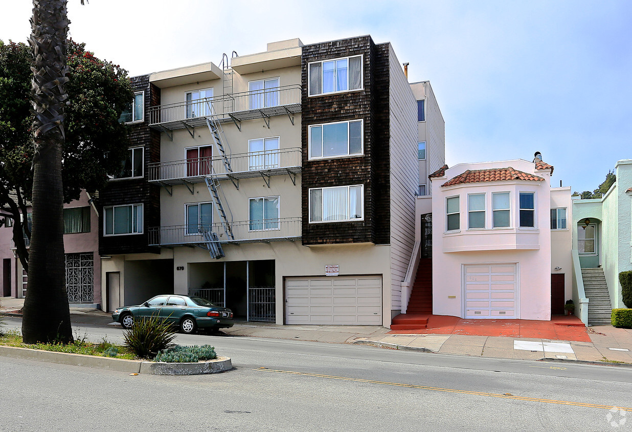
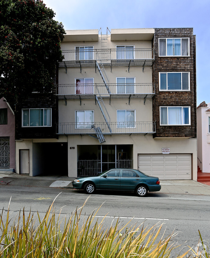
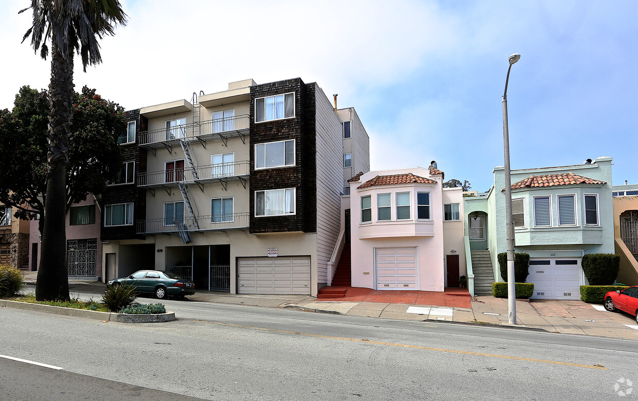

Discover true San Francisco living at 670 Monterey Blvd. In a convenient location on Monterey Blvd in San Francisco's 94127 area, you can easily connect with a number of attractions within a few miles. Come by to see the available floorplan options. The leasing team is waiting to show you all that this community has in store. Visit 670 Monterey Blvd today.
670 Monterey Blvd is an apartment community located in San Francisco County and the 94127 ZIP Code. This area is served by the San Francisco Unified School District attendance zone.
San Francisco is known for an array of attractions like the Golden Gate Bridge and Alcatraz, Chinatown and cable cars, the Painted Ladies and Fisherman’s Wharf, and so much more. This bayside city offers something for everyone. From its hilly streets to the sparkling water of the San Francisco Bay, this city is truly iconic. But it’s not just a tourist destination – San Francisco is a major metropolis with a powerhouse economy, featuring businesses like Dropbox, Reddit, Levi Strauss & Co, Wikimedia Foundation, Yelp, Twitter, and Weather Underground.
San Francisco is full of famous neighborhoods, from Haight-Ashbury and Pacific Heights to the Mission District and the Castro. Each district features its own distinctive personality. The art, culture, and entertainment scene in San Francisco is alive and well. Check out the San Francisco Museum of Modern Art, Golden Gate Park, Lands End Lookout, Union Square, Oracle Park, and the city’s sandy beaches like Ocean Beach and Baker Beach.
Learn more about living in San FranciscoCompare neighborhood and city base rent averages by bedroom.
| Sunnyside | San Francisco, CA | |
|---|---|---|
| Studio | $2,143 | $2,622 |
| 1 Bedroom | $2,505 | $3,445 |
| 2 Bedrooms | $1,837 | $4,717 |
| 3 Bedrooms | - | $5,916 |
| Colleges & Universities | Distance | ||
|---|---|---|---|
| Colleges & Universities | Distance | ||
| Walk: | 9 min | 0.5 mi | |
| Drive: | 7 min | 2.5 mi | |
| Drive: | 9 min | 3.2 mi | |
| Drive: | 11 min | 4.9 mi |


Transportation options available in San Francisco include Ocean Ave/Ccsf Pedestrian Bridge, located 0.7 mile from 670 Monterey Blvd. 670 Monterey Blvd is near San Francisco International, located 12.3 miles or 19 minutes away, and Metro Oakland International, located 24.9 miles or 37 minutes away.
| Transit / Subway | Distance | ||
|---|---|---|---|
| Transit / Subway | Distance | ||
| Walk: | 13 min | 0.7 mi | |
| Walk: | 14 min | 0.8 mi | |
| Walk: | 15 min | 0.8 mi | |
| Walk: | 15 min | 0.8 mi | |
|
|
Drive: | 3 min | 1.1 mi |
| Commuter Rail | Distance | ||
|---|---|---|---|
| Commuter Rail | Distance | ||
| Drive: | 8 min | 4.5 mi | |
| Drive: | 9 min | 6.3 mi | |
| Drive: | 13 min | 8.8 mi | |
| Drive: | 15 min | 10.8 mi | |
| Drive: | 18 min | 13.2 mi |
| Airports | Distance | ||
|---|---|---|---|
| Airports | Distance | ||
|
San Francisco International
|
Drive: | 19 min | 12.3 mi |
|
Metro Oakland International
|
Drive: | 37 min | 24.9 mi |
Scores provided by
Traffic
-Airport
-Businesses
-Scores provided by
HowLoud What is a Sound Score Rating? A Sound Score Rating aggregates noise caused by vehicle traffic, airplane traffic and local sources. How It WorksTime and distance from 670 Monterey Blvd.
| Shopping Centers | Distance | ||
|---|---|---|---|
| Shopping Centers | Distance | ||
| Drive: | 4 min | 1.2 mi | |
| Drive: | 6 min | 1.9 mi |
| Parks and Recreation | Distance | ||
|---|---|---|---|
| Parks and Recreation | Distance | ||
|
San Francisco State Univ. Observatory
|
Drive: | 9 min | 3.4 mi |
|
Charles F. Hagar Planetarium
|
Drive: | 9 min | 3.4 mi |
|
San Francisco Botanical Garden
|
Drive: | 10 min | 3.9 mi |
|
Buena Vista Park
|
Drive: | 10 min | 4.2 mi |
|
Randall Museum
|
Drive: | 10 min | 4.2 mi |
| Hospitals | Distance | ||
|---|---|---|---|
| Hospitals | Distance | ||
| Drive: | 4 min | 1.4 mi | |
| Drive: | 5 min | 1.9 mi | |
| Drive: | 5 min | 2.4 mi |
| Military Bases | Distance | ||
|---|---|---|---|
| Military Bases | Distance | ||
| Drive: | 17 min | 5.9 mi | |
| Drive: | 17 min | 6.4 mi | |
| Drive: | 33 min | 19.5 mi |
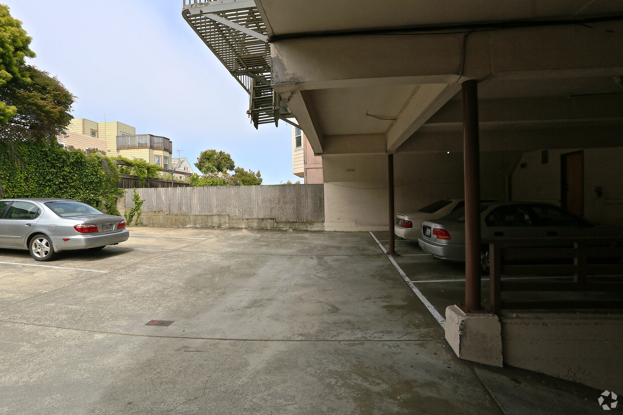
Pets Allowed Fitness Center In Unit Washer & Dryer Walk-In Closets Stainless Steel Appliances Hardwood Floors EV Charging
What Are Walk Score®, Transit Score®, and Bike Score® Ratings?
Walk Score® measures the walkability of any address. Transit Score® measures access to public transit. Bike Score® measures the bikeability of any address.
What is a Sound Score Rating?
A Sound Score Rating aggregates noise caused by vehicle traffic, airplane traffic and local sources.


