
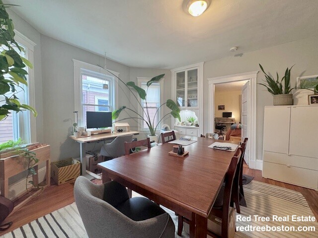
66 Williams St
Boston, MA 02130
-
Bedrooms
2
-
Bathrooms
1
-
Square Feet
1,200 sq ft
-
Available
Available Now

66 Williams St is an apartment community located in Suffolk County and the 02130 ZIP Code. This area is served by the Boston Public Schools attendance zone.
Apartment Features
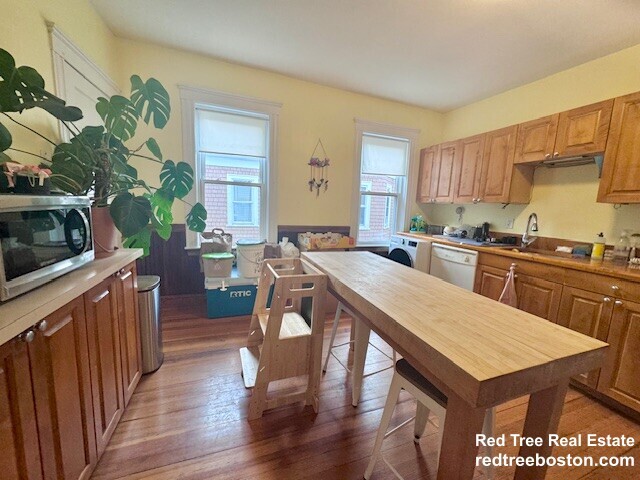
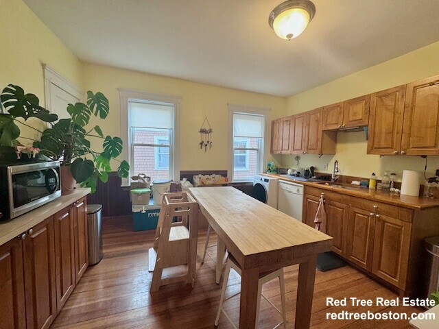
- Washer/Dryer
Fees and Policies
The fees listed below are community-provided and may exclude utilities or add-ons. All payments are made directly to the property and are non-refundable unless otherwise specified.
Details
Property Information
-
3 units
Contact
- Listed by Micah Snyder
- Phone Number
- Contact
Jamaica Central-South Sumner is a section of Jamaica Plain spanning north of Arborway Road. The verdant area is made up of good schools, peaceful communities, scenic views, and easy access to surrounding cities, including Boston. Boston's excellent mass transit system, which includes buses, subways, and light rail, serves this neighborhood. The southern portion of the neighborhood partially encompasses Arnold Arboretum of Harvard University while the western side features Willow Pond Meadow as well as the Hellenic College and Holy Cross Greek Orthodox School of Theology. A variety of shopping and dining choices are located along Centre Street. The rest of the neighborhood is filled with residential homes complemented by lush greenery.
Learn more about living in Jamaica Central-South Sumner| Colleges & Universities | Distance | ||
|---|---|---|---|
| Colleges & Universities | Distance | ||
| Drive: | 5 min | 2.6 mi | |
| Drive: | 6 min | 3.0 mi | |
| Drive: | 6 min | 3.2 mi | |
| Drive: | 8 min | 3.8 mi |


View GreatSchools Rating Methodology
Data provided by GreatSchools.org © 2026. All rights reserved.
Transportation options available in Boston include Green Street Station, located 0.4 mile from 66 Williams St. 66 Williams St is near General Edward Lawrence Logan International, located 7.9 miles or 16 minutes away.
| Transit / Subway | Distance | ||
|---|---|---|---|
| Transit / Subway | Distance | ||
|
|
Walk: | 7 min | 0.4 mi |
|
|
Walk: | 11 min | 0.6 mi |
|
|
Drive: | 3 min | 1.1 mi |
|
|
Drive: | 3 min | 1.5 mi |
|
|
Drive: | 6 min | 2.4 mi |
| Commuter Rail | Distance | ||
|---|---|---|---|
| Commuter Rail | Distance | ||
|
|
Walk: | 11 min | 0.6 mi |
|
|
Drive: | 4 min | 2.2 mi |
|
|
Drive: | 7 min | 2.2 mi |
| Drive: | 7 min | 2.6 mi | |
| Drive: | 6 min | 2.8 mi |
| Airports | Distance | ||
|---|---|---|---|
| Airports | Distance | ||
|
General Edward Lawrence Logan International
|
Drive: | 16 min | 7.9 mi |
Scores provided by
Traffic
ActiveAirport
CalmBusinesses
ActiveScores provided by
HowLoud What is a Sound Score Rating? A Sound Score Rating aggregates noise caused by vehicle traffic, airplane traffic and local sources. How It WorksTime and distance from 66 Williams St.
| Shopping Centers | Distance | ||
|---|---|---|---|
| Shopping Centers | Distance | ||
| Drive: | 5 min | 2.0 mi | |
| Drive: | 5 min | 2.1 mi | |
| Drive: | 5 min | 2.3 mi |
| Parks and Recreation | Distance | ||
|---|---|---|---|
| Parks and Recreation | Distance | ||
|
Lower Neponset River Trail
|
Drive: | 5 min | 2.0 mi |
|
Mass Audubon's Boston Nature Center and Wildlife Sanctuary
|
Drive: | 5 min | 2.1 mi |
|
Franklin Park Zoo
|
Drive: | 5 min | 2.2 mi |
|
Arnold Arboretum of Harvard University
|
Drive: | 5 min | 2.5 mi |
|
Frederick Law Olmsted National Historic Site
|
Drive: | 8 min | 3.3 mi |
| Hospitals | Distance | ||
|---|---|---|---|
| Hospitals | Distance | ||
| Drive: | 4 min | 1.2 mi | |
| Drive: | 3 min | 2.1 mi | |
| Drive: | 6 min | 2.5 mi |
| Military Bases | Distance | ||
|---|---|---|---|
| Military Bases | Distance | ||
| Drive: | 29 min | 16.5 mi |
- Washer/Dryer
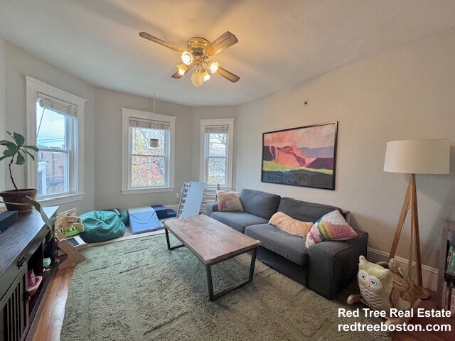
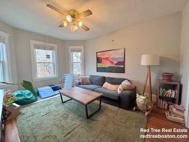
66 Williams St Photos
What Are Walk Score®, Transit Score®, and Bike Score® Ratings?
Walk Score® measures the walkability of any address. Transit Score® measures access to public transit. Bike Score® measures the bikeability of any address.
What is a Sound Score Rating?
A Sound Score Rating aggregates noise caused by vehicle traffic, airplane traffic and local sources.
66 Williams St
Boston, MA 02130