

1 Bed
$3,025+
2 Beds
$4,235+
3 Beds
$6,095
Total Monthly Price
12 Month Lease
Total Monthly Price
New
Prices include required monthly fees of $25.
Base Rent:
1 Bed
$3,000+
2 Beds
$4,210+
3 Beds
$6,020+
Specials
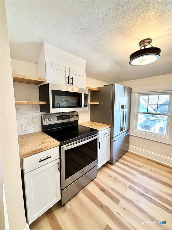
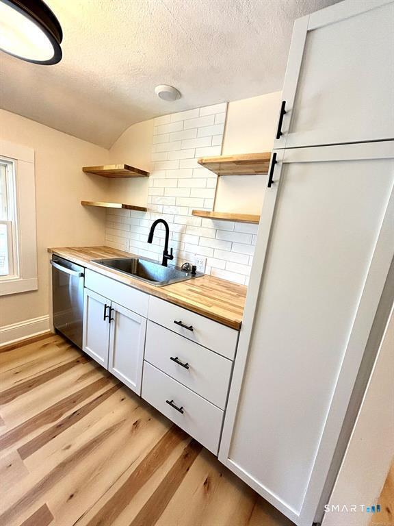
Pets Allowed Fitness Center Pool Dishwasher Refrigerator Kitchen


