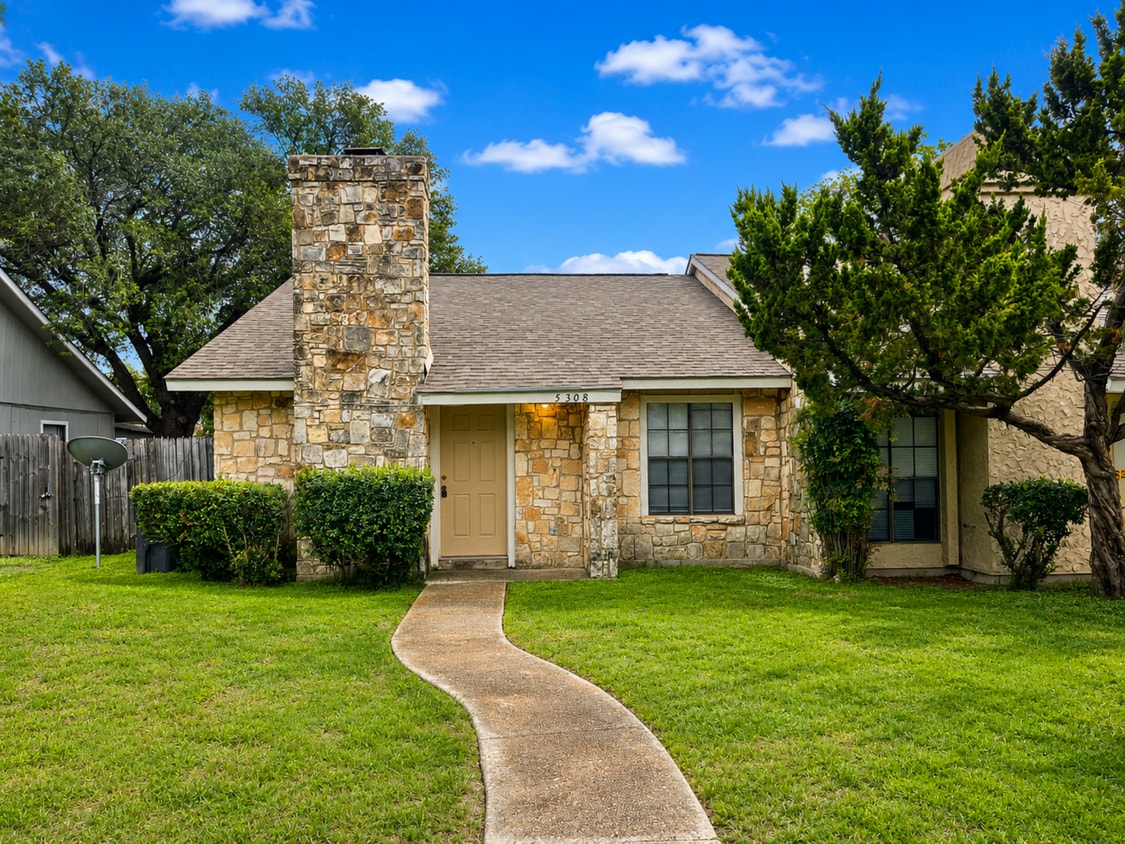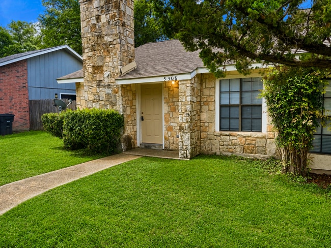
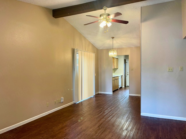
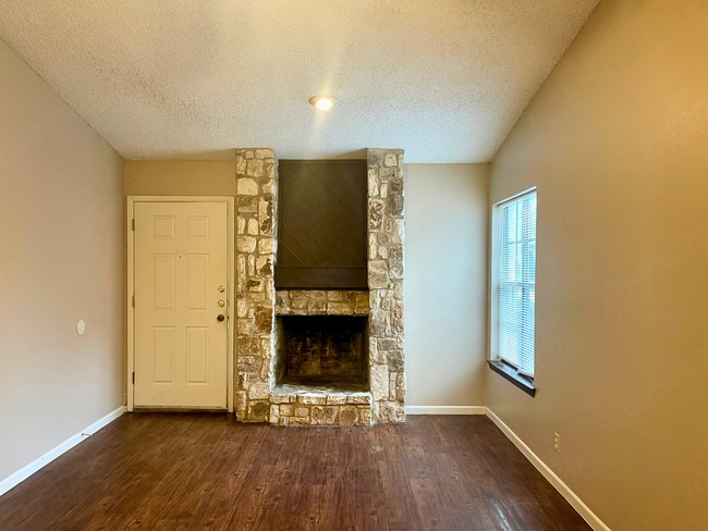


2 Beds
$1,099+
Total Monthly Price
Total Monthly Price
New
Prices include all required monthly fees.
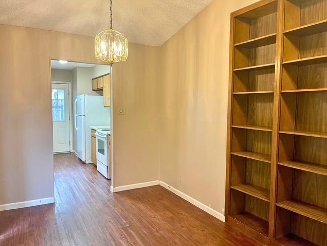
Pets Allowed Pool Kitchen Tub / Shower Granite Countertops Laundry Facilities Fireplace