
Junction at 7760
7760 McCallum Blvd,
Dallas, TX 75252
$800 - $1,043
Studio - 1 Bed


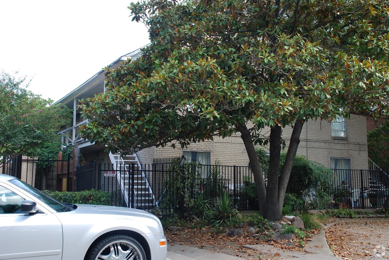
Find your next place to live at 5110 Bryan St. The location of this community is on Bryan St. in Dallas. The professional leasing team is ready and waiting for you to come for a visit. Be sure to come for a visit to check out the current floorplan options. Your new home awaits you at 5110 Bryan St. Stop by the leasing office to schedule a tour.
5110 Bryan St is an apartment community located in Dallas County and the 75206 ZIP Code. This area is served by the Dallas Independent School District attendance zone.
Snug between Uptown and Lower Greenville, Knox/Henderson borrows a little from both -- the restaurant scene and walkability of Uptown with the live music and endless entertainment of Lower Greenville -- to deliver the perfect neighborhood. It's no wonder it's a Dallas favorite, from its restaurants like Café Madrid, Chelsea Corner, and the Porch to the Katy Trail, a 3.5-mile paved walking and bicycling path that runs through Dallas.
Knox/Henderson is located around the merging of Knox Street with Henderson Avenue along Highway 75. The heart of the neighborhood, Greenville Avenue, features funky sidewalk cafes and art galleries along brick-paved sidewalks. The abundance of bike racks and period lighting help solidify this area's cool factor. The residential side of Knox/Henderson offers a unique blend of charming bungalows, townhomes, and modern apartment buildings -- often side-by-side for a unique look with ample character.
Learn more about living in Knox HendersonCompare neighborhood and city base rent averages by bedroom.
| Knox Henderson | Dallas, TX | |
|---|---|---|
| Studio | $1,356 | $1,257 |
| 1 Bedroom | $1,591 | $1,400 |
| 2 Bedrooms | $2,290 | $1,857 |
| 3 Bedrooms | $2,658 | $2,360 |
| Colleges & Universities | Distance | ||
|---|---|---|---|
| Colleges & Universities | Distance | ||
| Drive: | 3 min | 1.2 mi | |
| Drive: | 7 min | 3.0 mi | |
| Drive: | 7 min | 3.4 mi | |
| Drive: | 11 min | 4.8 mi |


Transportation options available in Dallas include Cityplace (Mckinney Avenue), located 2.1 miles from 5110 Bryan St. 5110 Bryan St is near Dallas Love Field, located 6.2 miles or 15 minutes away, and Dallas-Fort Worth International, located 22.3 miles or 32 minutes away.
| Transit / Subway | Distance | ||
|---|---|---|---|
| Transit / Subway | Distance | ||
|
|
Drive: | 4 min | 2.1 mi |
|
|
Drive: | 5 min | 2.1 mi |
|
|
Drive: | 5 min | 2.3 mi |
|
|
Drive: | 5 min | 2.3 mi |
|
|
Drive: | 6 min | 3.1 mi |
| Commuter Rail | Distance | ||
|---|---|---|---|
| Commuter Rail | Distance | ||
|
|
Drive: | 8 min | 4.1 mi |
|
|
Drive: | 11 min | 5.0 mi |
|
|
Drive: | 23 min | 11.9 mi |
|
|
Drive: | 26 min | 17.4 mi |
|
|
Drive: | 27 min | 17.7 mi |
| Airports | Distance | ||
|---|---|---|---|
| Airports | Distance | ||
|
Dallas Love Field
|
Drive: | 15 min | 6.2 mi |
|
Dallas-Fort Worth International
|
Drive: | 32 min | 22.3 mi |
Scores provided by
Traffic
-Airport
-Businesses
-Scores provided by
HowLoud What is a Sound Score Rating? A Sound Score Rating aggregates noise caused by vehicle traffic, airplane traffic and local sources. How It WorksTime and distance from 5110 Bryan St.
| Shopping Centers | Distance | ||
|---|---|---|---|
| Shopping Centers | Distance | ||
| Walk: | 5 min | 0.3 mi | |
| Walk: | 5 min | 0.3 mi | |
| Walk: | 6 min | 0.3 mi |
| Parks and Recreation | Distance | ||
|---|---|---|---|
| Parks and Recreation | Distance | ||
|
Dallas Trekkers Walking Club
|
Drive: | 3 min | 1.5 mi |
|
Nasher Sculpture Center
|
Drive: | 6 min | 2.4 mi |
|
Fair Park
|
Drive: | 8 min | 3.1 mi |
|
Perot Museum of Nature & Science
|
Drive: | 8 min | 3.3 mi |
|
Children's Aquarium at Fair Park
|
Drive: | 8 min | 3.5 mi |
| Hospitals | Distance | ||
|---|---|---|---|
| Hospitals | Distance | ||
| Drive: | 4 min | 1.5 mi | |
| Drive: | 4 min | 1.8 mi | |
| Drive: | 4 min | 1.9 mi |
| Military Bases | Distance | ||
|---|---|---|---|
| Military Bases | Distance | ||
| Drive: | 27 min | 15.9 mi | |
| Drive: | 59 min | 43.0 mi |
What Are Walk Score®, Transit Score®, and Bike Score® Ratings?
Walk Score® measures the walkability of any address. Transit Score® measures access to public transit. Bike Score® measures the bikeability of any address.
What is a Sound Score Rating?
A Sound Score Rating aggregates noise caused by vehicle traffic, airplane traffic and local sources.
5110 Bryan St
Dallas, TX 75206


