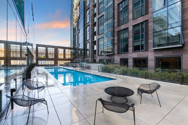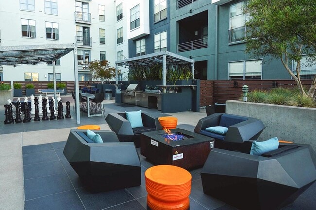
Hanover Soma West
1140 Harrison St,
San Francisco, CA 94103
$3,475 - $8,729 Total Monthly Price
Studio - 3 Beds
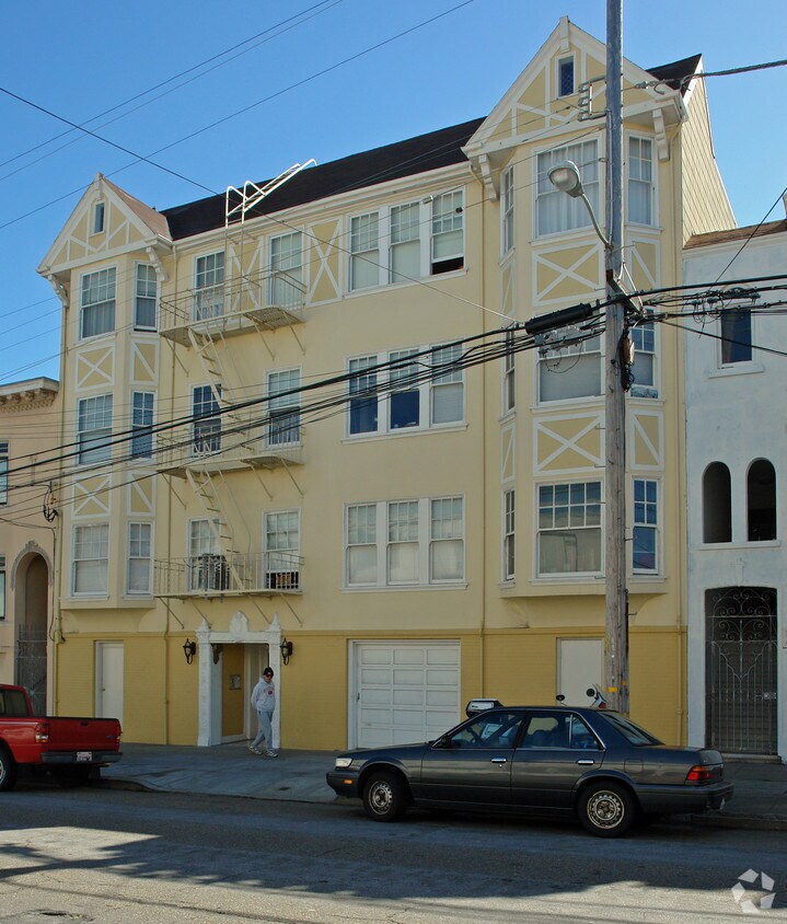
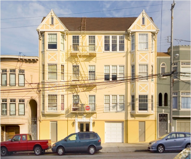
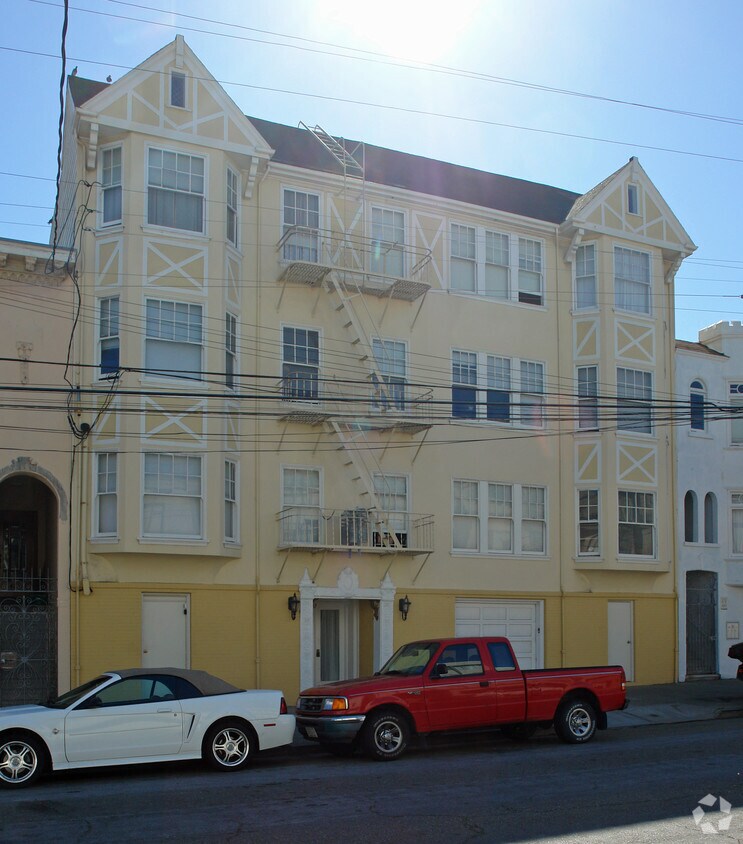

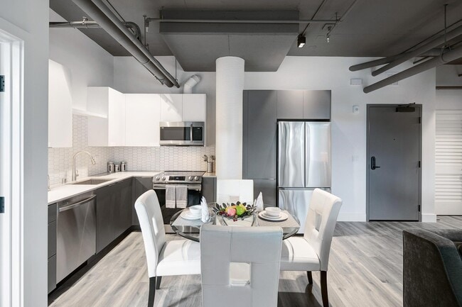
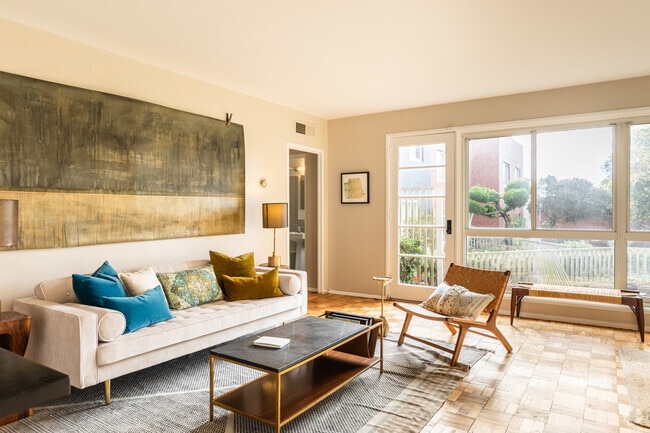
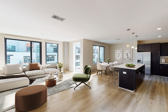
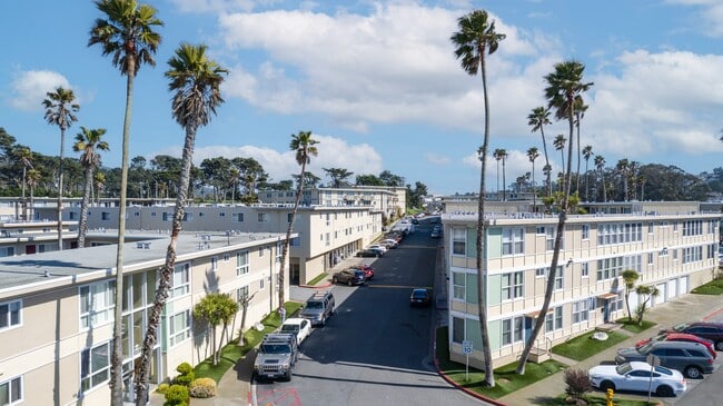
Explore a new place to live at 430 34th Ave. These apartments are located on 34th Ave in San Francisco. Come for a visit to see the current floorplan options. From amenities to floorplan options, the leasing staff is ready and waiting to help you find the perfect apartment. It's time to love where you live. Stop by for a visit today.
430 34th Ave is an apartment community located in San Francisco County and the 94121 ZIP Code. This area is served by the San Francisco Unified School District attendance zone.
Granite Countertops
Heating
Range
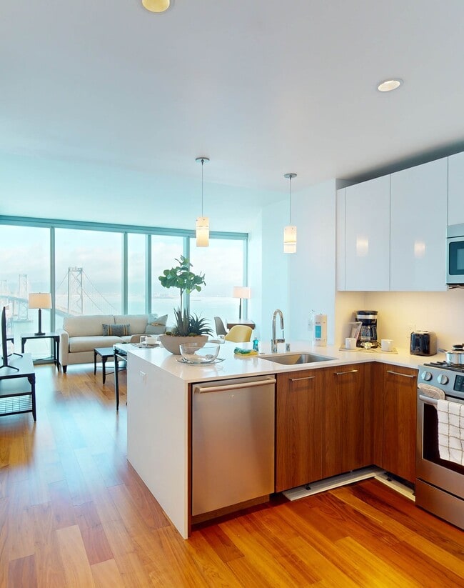
Kitchen
Extending from Ocean Beach east, the Richmond District is wedged between the Presidio to the north and Golden Gate Park to the south. The neighborhood includes the University of San Francisco, which is located on the east end of the Richmond District. With its gorgeous stretch of beach to Golden Gate Park's fantastic destinations like the de Young Museum, the San Francisco Botanical Garden, and the Koret Children's Quarter Playground, residents of the Richmond District enjoy fantastic outdoor activities. Other nearby destinations include Sutro Heights Park, Mountain Lake Park, and the Lincoln Park and Golf Course.
With its soaring cliffs and ocean waves, the Richmond District is one of San Francisco's most popular neighborhoods. Be sure to visit the historic Cliff House, built in 1863, for fantastic beach views.
Learn more about living in Richmond DistrictCompare neighborhood and city base rent averages by bedroom.
| Richmond District | San Francisco, CA | |
|---|---|---|
| Studio | $1,544 | $2,563 |
| 1 Bedroom | $1,758 | $3,400 |
| 2 Bedrooms | $2,528 | $4,648 |
| 3 Bedrooms | $6,141 | $5,855 |
| Colleges & Universities | Distance | ||
|---|---|---|---|
| Colleges & Universities | Distance | ||
| Drive: | 7 min | 2.8 mi | |
| Drive: | 9 min | 3.5 mi | |
| Drive: | 10 min | 3.6 mi | |
| Drive: | 13 min | 5.0 mi |


 The GreatSchools Rating helps parents compare schools within a state based on a variety of school quality indicators and provides a helpful picture of how effectively each school serves all of its students. Ratings are on a scale of 1 (below average) to 10 (above average) and can include test scores, college readiness, academic progress, advanced courses, equity, discipline and attendance data. We also advise parents to visit schools, consider other information on school performance and programs, and consider family needs as part of the school selection process.
Transportation options available in San Francisco include Judah And 40Th Avenue, located 2.0 miles from 430 34th Ave. 430 34th Ave is near San Francisco International, located 16.2 miles or 30 minutes away, and Metro Oakland International, located 24.3 miles or 42 minutes away.
| Transit / Subway | Distance | ||
|---|---|---|---|
| Transit / Subway | Distance | ||
|
|
Drive: | 6 min | 2.0 mi |
| Drive: | 6 min | 2.3 mi | |
| Drive: | 6 min | 2.4 mi | |
|
|
Drive: | 7 min | 2.6 mi |
|
|
Drive: | 6 min | 2.7 mi |
| Commuter Rail | Distance | ||
|---|---|---|---|
| Commuter Rail | Distance | ||
| Drive: | 16 min | 7.2 mi | |
| Drive: | 22 min | 10.3 mi | |
| Drive: | 27 min | 13.2 mi | |
| Drive: | 25 min | 13.7 mi | |
| Drive: | 24 min | 13.7 mi |
| Airports | Distance | ||
|---|---|---|---|
| Airports | Distance | ||
|
San Francisco International
|
Drive: | 30 min | 16.2 mi |
|
Metro Oakland International
|
Drive: | 42 min | 24.3 mi |
Scores provided by
 What do Walkability, Transit, Drivability, and Bikeability mean?
Walkability measures the walking distance to day-to-day needs.
Transit measures access to public transportation.
Drivability measures congestion, parking availability, and access to major roads.
Bikeability measures the suitability for cycling.
How It Works
What do Walkability, Transit, Drivability, and Bikeability mean?
Walkability measures the walking distance to day-to-day needs.
Transit measures access to public transportation.
Drivability measures congestion, parking availability, and access to major roads.
Bikeability measures the suitability for cycling.
How It Works
Traffic
-Airport
-Businesses
-Scores provided by
HowLoud What is a Sound Score Rating? A Sound Score Rating aggregates noise caused by vehicle traffic, airplane traffic and local sources. How It WorksTime and distance from 430 34th Ave.
| Parks and Recreation | Distance | ||
|---|---|---|---|
| Parks and Recreation | Distance | ||
|
Golden Gate Park
|
Drive: | 4 min | 1.6 mi |
|
San Francisco Botanical Garden
|
Drive: | 6 min | 2.2 mi |
|
Presidio of San Francisco
|
Drive: | 6 min | 2.3 mi |
|
Steinhart Aquarium
|
Drive: | 7 min | 2.3 mi |
|
Japanese Tea Garden
|
Drive: | 9 min | 3.0 mi |
| Hospitals | Distance | ||
|---|---|---|---|
| Hospitals | Distance | ||
| Drive: | 7 min | 2.8 mi | |
| Drive: | 8 min | 3.3 mi | |
| Drive: | 8 min | 3.5 mi |
| Military Bases | Distance | ||
|---|---|---|---|
| Military Bases | Distance | ||
| Walk: | 15 min | 0.8 mi | |
| Drive: | 3 min | 1.2 mi | |
| Drive: | 25 min | 10.4 mi |
What Are Walk Score®, Transit Score®, and Bike Score® Ratings?
Walk Score® measures the walkability of any address. Transit Score® measures access to public transit. Bike Score® measures the bikeability of any address.
What is a Sound Score Rating?
A Sound Score Rating aggregates noise caused by vehicle traffic, airplane traffic and local sources.
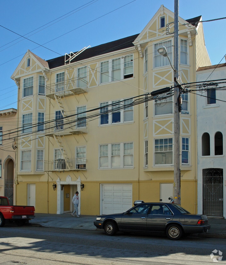
430 34th Ave
San Francisco, CA 94121