
$3,350
Total Monthly Price
12 Month Lease
4 Imrie Rd Unit 2
Boston, MA 02134
Today
|
Edit
Favorites
617-202-3506
-
Bedrooms
3
-
Bathrooms
2
-
Square Feet
1,175 sq ft
-
Available
Available Aug 1
Highlight
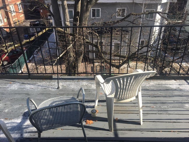
- Balcony
4 Imrie Rd Unit 2

Favorites
About This Home
12 Month Lease,
$3,350 deposit,
Available Aug 1
This awesome apartment is located in Allston right off Cambridge Street on Imrie Road. #51/57/66/501/503 bus stops outside your front door, B-Line T a short walk down Gordon Street. Within walking distances to Stop & Shop Supermarket & dozens of the best restaurants/bars on Brighton Avenue & Harvard Avenue! Neighborhood Description: Allston Village is a local center of activity. It sits at the cross roads of Harvard Avenue, and Brighton Avenue with easy access by Green Line, or bus to other, major areas of the city. This neighborhood is popular with students, because it is conveniently located between Harvard University, Boston College, and Boston University with public transportation options to each school. The village is alive with businesses from bars, to automotive repair to fast food restaurants, and clothing outlets.
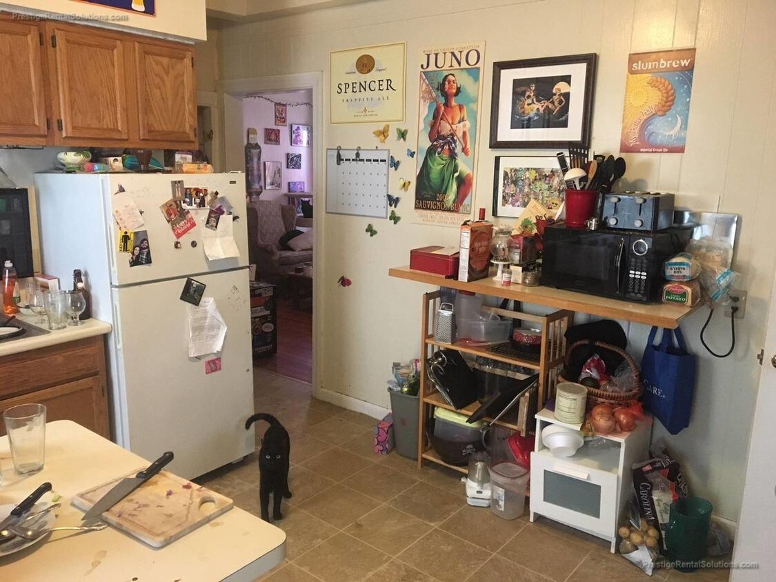
Spacious 3 bedroom apartment, lots of light, in great location near Brighton Center. Walking distance to town, park; permit parking on street. Apartment features: -Large eat-in kitchen with gas stove -Front balcony -Large living room -Plenty of windows Call before this gem is snapped up!
4 Imrie Rd is an apartment community located in Suffolk County and the 02134 ZIP Code.
* Price shown is total price based on community-supplied monthly required fees. Excludes user-selected optional fees and variable or usage-based fees and required charges due at or prior to move-in or at move-out. Price, availability, fees, and any applicable rent special are subject to change without notice.
* Square footage definitions vary. Displayed square footage is approximate.
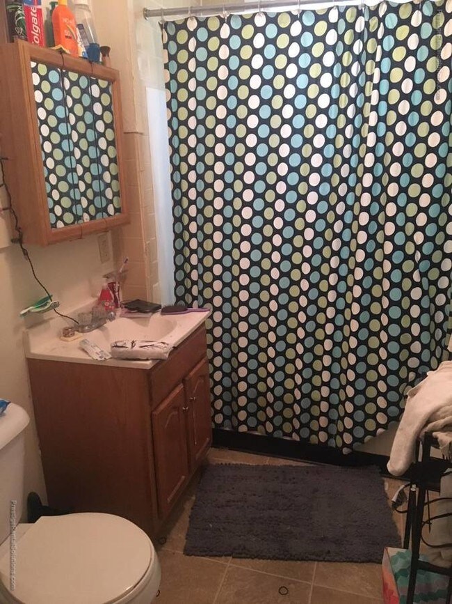
Apartment Features
- Dishwasher
- Eat-in Kitchen
- Kitchen
- Laundry Facilities
- Balcony
Fees and Policies
The fees listed below are community-provided and may exclude utilities or add-ons. All payments are made directly to the property and are non-refundable unless otherwise specified.
- Cats Allowed
-
Fees not specified
-
Weight limit--
-
Pet Limit--
- Parking
-
Street--
Details
Lease Options
-
12 Months
Property Information
-
2 units
Contact
- Listed by Leo Hanrahan
- Phone Number
- Contact
Location
Get Directions
Saint Elizabeth’s is a Brighton neighborhood situated about 10 miles away from Boston. Thanks to Saint Elizabeth’s top border sitting on Highway 20, commuting in and out of Brighton is easy. Some residents travel by car, but buses and railways make commuting via public transportation a breeze.
The neighborhood’s best amenities are two world-renowned hospitals, Saint Elizabeth’s Medical Center and Franciscan Children’s, that sit on the edge of town. Other great amenities of Saint Elizabeth’s include many local parks like Ringer Playground and Chestnut Hill Reservoir, which has great trails and greenspace. This neighborhood is also equipped with cozy coffee shops, restaurants serving international and American classics, and shopping plazas with grocers and convenience stores.
Saint Elizabeth’s has several rental options ranging from apartments to single-family homes.
Learn more about living in St Elizabeth's
Education
| Colleges & Universities | Distance | ||
|---|---|---|---|
| Colleges & Universities | Distance | ||
| Drive: | 5 min | 1.6 mi | |
| Drive: | 6 min | 1.6 mi | |
| Drive: | 6 min | 2.1 mi | |
| Drive: | 6 min | 2.3 mi |
4 Imrie Rd Unit 2 is within 5 minutes or 1.6 miles from Boston University. It is also near Boston College, Brighton and Harvard University.
Transportation options available in Boston include Allston Street Station, located 0.3 mile from 4 Imrie Rd Unit 2. 4 Imrie Rd Unit 2 is near General Edward Lawrence Logan International, located 8.3 miles or 15 minutes away.
| Transit / Subway | Distance | ||
|---|---|---|---|
| Transit / Subway | Distance | ||
|
|
Walk: | 6 min | 0.3 mi |
|
|
Walk: | 7 min | 0.4 mi |
|
|
Walk: | 9 min | 0.5 mi |
|
|
Walk: | 9 min | 0.5 mi |
|
|
Walk: | 14 min | 0.8 mi |
| Commuter Rail | Distance | ||
|---|---|---|---|
| Commuter Rail | Distance | ||
|
|
Drive: | 4 min | 2.4 mi |
|
|
Drive: | 9 min | 3.3 mi |
|
|
Drive: | 9 min | 3.4 mi |
|
|
Drive: | 10 min | 4.2 mi |
| Drive: | 10 min | 4.6 mi |
| Airports | Distance | ||
|---|---|---|---|
| Airports | Distance | ||
|
General Edward Lawrence Logan International
|
Drive: | 15 min | 8.3 mi |
Time and distance from 4 Imrie Rd Unit 2.
| Shopping Centers | Distance | ||
|---|---|---|---|
| Shopping Centers | Distance | ||
| Walk: | 7 min | 0.4 mi | |
| Walk: | 14 min | 0.7 mi | |
| Walk: | 15 min | 0.8 mi |
4 Imrie Rd Unit 2 has 3 shopping centers within 0.8 mile, which is about a 15-minute walk. The miles and minutes will be for the farthest away property.
| Parks and Recreation | Distance | ||
|---|---|---|---|
| Parks and Recreation | Distance | ||
|
John Fitzgerald Kennedy National Historic Site
|
Drive: | 3 min | 1.2 mi |
|
Chestnut Hill Reservation
|
Drive: | 5 min | 1.8 mi |
|
Coit Observatory
|
Drive: | 6 min | 2.0 mi |
|
Frederick Law Olmsted National Historic Site
|
Drive: | 8 min | 2.4 mi |
|
Longfellow National Historic Site
|
Drive: | 7 min | 2.9 mi |
4 Imrie Rd Unit 2 has 5 parks within 2.9 miles, including John Fitzgerald Kennedy National Historic Site, Chestnut Hill Reservation, and Coit Observatory.
| Hospitals | Distance | ||
|---|---|---|---|
| Hospitals | Distance | ||
| Walk: | 9 min | 0.5 mi | |
| Walk: | 10 min | 0.5 mi | |
| Walk: | 19 min | 1.0 mi |
4 Imrie Rd Unit 2 has 3 hospitals within 1.0 miles, the nearest is Franciscan Children's Hospital & Rehab Center which is 0.5 mile away and a 9 minute walk.
| Military Bases | Distance | ||
|---|---|---|---|
| Military Bases | Distance | ||
| Drive: | 26 min | 12.6 mi | |
| Drive: | 26 min | 14.0 mi |
4 Imrie Rd Unit 2 is 12.6 miles from Hanscom Air Force Base, and is convenient to other military bases, including US Military Reservation.
Amenities
- Dishwasher
- Eat-in Kitchen
- Kitchen
- Laundry Facilities
- Balcony
4 Imrie Rd Unit 2 Photos
What Are Walk Score®, Transit Score®, and Bike Score® Ratings?
Walk Score® measures the walkability of any address. Transit Score® measures access to public transit. Bike Score® measures the bikeability of any address.
What is a Sound Score Rating?
A Sound Score Rating aggregates noise caused by vehicle traffic, airplane traffic and local sources
4 Imrie Rd
Boston, MA 02134