
$1,800
/ Month
330 W 4th St
Cincinnati, OH 45202
Favorites
330 W 4th St

Favorites
Check Back Soon for Upcoming Availability
| Beds | Baths | Average SF |
|---|---|---|
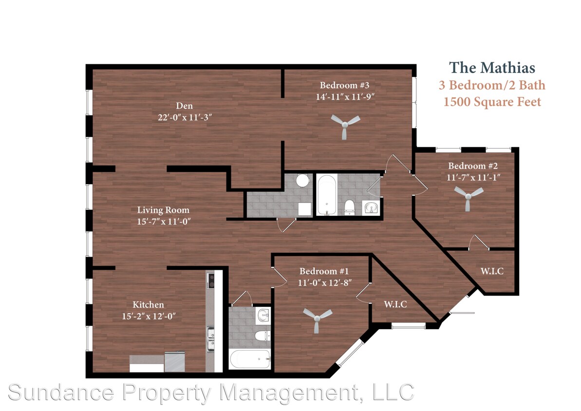
| 2 Bedrooms 2 Bedrooms 2 Br | 2 Baths 2 Baths 2 Ba | 1,500 SF |
Fees and Policies
The fees listed below are community-provided and may exclude utilities or add-ons. All payments are made directly to the property and are non-refundable unless otherwise specified.
- Dogs Allowed
-
Fees not specified
-
Weight limit--
-
Pet Limit--
About This Property
(513) 786-6001 - The Biltmore is an eight-story, Italianate style, apartment building constructed in 1881. The building features a mixture of one and two bedroom apartments with high ceilings, charming brick accent walls, brand new kitchens and bathrooms and central a/c and heat. The building features a workout room, an interior courtyard, a rooftop deck that overlooks the Convention Center, City Hall, and the Museum Center, and a laundry facility. Many of the apartments have views of both the interior courtyard and West 4th Street or Perry Street. The Lombardy is only a 12 minute walk to Paul Brown Stadium, Great American Ballpark, Smale Riverfront Park, The Banks, and Fountain Square. The Biltmore is included in West Fourth Street Historic District designation which represents the finest surviving remnants of Cincinnati's turn-of-the-century downtown streetscape. It reflects the height of expansion of residential, wholesale, retail and industrial activities within the Central Business District between 1870 and 1927. (RLNE4283488) Pet policies: Small Dogs Allowed, Cats Allowed.
330 W 4th St is an apartment community located in Hamilton County and the 45202 ZIP Code.
330 W 4th St,
Cincinnati,
OH
45202
Cincinnati’s City Center is the central business district of this thriving metropolis. It’s home to an array of entertainment options, from the Taft Theatre to Fountain Square. Although Cincinnati is a major metro area, City Center is rather quiet for a downtown district. It has a quaint charm to it that’s adored by residents. Locals appreciate the variety of apartments available in the area, ranging from affordable to upscale. City Center features views of the Ohio River and is home to several stadiums, including the Great American Ball Park and Paul Brown Stadium. Light rail stations can be found along all major streets in City Center, making commuting simple. For additional travel benefits, Cincinnati’s City Center offers proximity to Interstates 75, 71, and 471.
Learn more about living in City CenterBelow are rent ranges for similar nearby apartments
| Beds | Average Size | Lowest | Typical | Premium |
|---|---|---|---|---|
| Studio Studio Studio | 537-539 Sq Ft | $975 | $1,498 | $2,860 |
| 1 Bed 1 Bed 1 Bed | 742-744 Sq Ft | $1,055 | $1,825 | $6,618 |
| 2 Beds 2 Beds 2 Beds | 1185-1189 Sq Ft | $1,350 | $2,588 | $5,395 |
| 3 Beds 3 Beds 3 Beds | 1787 Sq Ft | $2,595 | $5,054 | $9,200 |
| 4 Beds 4 Beds 4 Beds | 4542 Sq Ft | $12,117 | — | — |
Education
| Colleges & Universities | Distance | ||
|---|---|---|---|
| Colleges & Universities | Distance | ||
| Drive: | 9 min | 3.7 mi | |
| Drive: | 9 min | 4.7 mi | |
| Drive: | 10 min | 4.7 mi | |
| Drive: | 12 min | 5.3 mi |
330 W 4th St is within 9 minutes or 4.7 miles from University of Cincinnati. It is also near Univ. of Cincinnati, Medical and Cincinnati State.
Transportation options available in Cincinnati include Fountain Square Station - 5Th & Walnut, located 0.5 mile from 330 W 4th St. 330 W 4th St is near Cincinnati/Northern Kentucky International, located 14.4 miles or 27 minutes away.
| Transit / Subway | Distance | ||
|---|---|---|---|
| Transit / Subway | Distance | ||
| Walk: | 9 min | 0.5 mi | |
| Walk: | 10 min | 0.5 mi | |
| Walk: | 12 min | 0.6 mi | |
| Walk: | 12 min | 0.6 mi | |
| Walk: | 12 min | 0.7 mi |
| Commuter Rail | Distance | ||
|---|---|---|---|
| Commuter Rail | Distance | ||
|
|
Drive: | 4 min | 1.4 mi |
| Airports | Distance | ||
|---|---|---|---|
| Airports | Distance | ||
|
Cincinnati/Northern Kentucky International
|
Drive: | 27 min | 14.4 mi |
Walkability Near 330 W 4th St Cincinnati, OH 45202
Getting Around
 What do Walkability, Transit, Drivability, and Bikeability mean?
Walkability measures the walking distance to day-to-day needs.
Transit measures access to public transportation.
Drivability measures congestion, parking availability, and access to major roads.
Bikeability measures the suitability for cycling.
How It Works
What do Walkability, Transit, Drivability, and Bikeability mean?
Walkability measures the walking distance to day-to-day needs.
Transit measures access to public transportation.
Drivability measures congestion, parking availability, and access to major roads.
Bikeability measures the suitability for cycling.
How It Works
Moderately Walkable
Walkability
70
/ 100
Strong Public Transit
Transit
80
/ 100
Very Drivable
Drivability
80
/ 100
Somewhat Bikeable
Bikeability
30
/ 100
Scores provided by
-
Soundscore™
-
/ 100
Traffic
-Airport
-Businesses
-Scores provided by
HowLoud What is a Sound Score Rating? A Sound Score Rating aggregates noise caused by vehicle traffic, airplane traffic and local sources. How It WorksTime and distance from 330 W 4th St.
| Shopping Centers | Distance | ||
|---|---|---|---|
| Shopping Centers | Distance | ||
| Walk: | 7 min | 0.4 mi | |
| Drive: | 3 min | 1.4 mi | |
| Drive: | 5 min | 1.8 mi |
330 W 4th St has 3 shopping centers within 1.8 miles, which is about a 5-minute drive. The miles and minutes will be for the farthest away property.
| Parks and Recreation | Distance | ||
|---|---|---|---|
| Parks and Recreation | Distance | ||
|
John G. & Phyllis W. Smale Riverfront Park
|
Walk: | 9 min | 0.5 mi |
|
OMNIMAX Theater
|
Drive: | 4 min | 1.4 mi |
|
Duke Energy Children's Museum
|
Drive: | 4 min | 1.4 mi |
|
Museum of Natural History and Science
|
Drive: | 4 min | 1.4 mi |
|
Newport Aquarium
|
Drive: | 6 min | 1.9 mi |
330 W 4th St has 5 parks within 1.9 miles, including John G. & Phyllis W. Smale Riverfront Park, OMNIMAX Theater, and Duke Energy Children's Museum.
| Hospitals | Distance | ||
|---|---|---|---|
| Hospitals | Distance | ||
| Drive: | 7 min | 2.1 mi | |
| Drive: | 8 min | 3.4 mi | |
| Drive: | 7 min | 4.0 mi |
330 W 4th St has 3 hospitals within 4.0 miles, the nearest is Christ Hospital which is 2.1 miles away and a 7 minute drive.
| Military Bases | Distance | ||
|---|---|---|---|
| Military Bases | Distance | ||
| Drive: | 71 min | 55.1 mi | |
| Drive: | 77 min | 60.2 mi | |
| Drive: | 80 min | 63.5 mi |
330 W 4th St has 3 military bases within 63.5 miles, the nearest is Gentile Air Force Station which is 55.1 miles away and a 71 minute drive.
You May Also Like
Similar Rentals Nearby


What Are Walk Score®, Transit Score®, and Bike Score® Ratings?
Walk Score® measures the walkability of any address. Transit Score® measures access to public transit. Bike Score® measures the bikeability of any address.
What is a Sound Score Rating?
A Sound Score Rating aggregates noise caused by vehicle traffic, airplane traffic and local sources.
330 W 4th St
Cincinnati, OH 45202