
$1,495
/ Month
2640 S Robinson St
Philadelphia, PA 19142
Favorites
267-225-9099
-
Bedrooms
3
-
Bathrooms
1
-
Square Feet
995 sq ft
-
Available
Available Now
2640 S Robinson St

Favorites
About This Home
Available Now
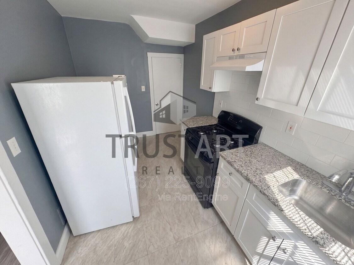
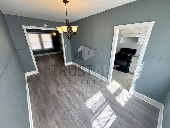
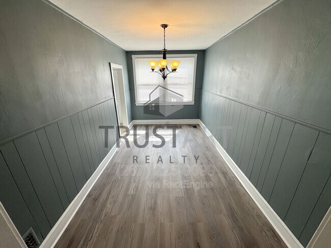
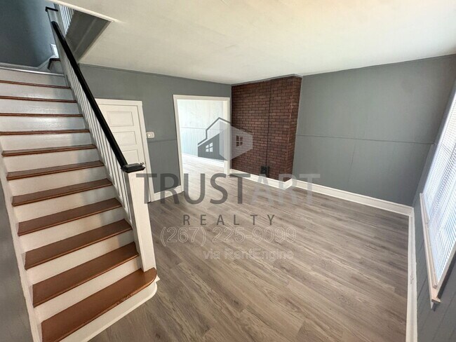
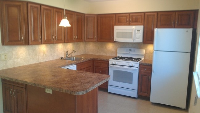
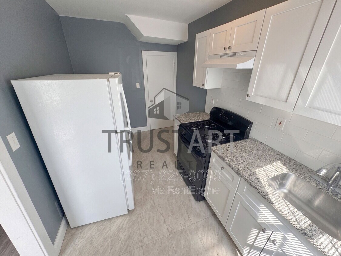
Deposit Free Move in for qualified applicants! PHA Vouchers accepted. Key Features: - Full Kitchen - Gas stove/oven, refrigerator. - Living and dining area. - Patio and small yard at front. - Fenced backyard. - Washer/dryer in unfinished basement. - Air forced gas heating, gas water heater. By submitting your information on this page you consent to being contacted by the Property Manager and RentEngine via SMS, phone, or email.
2640 S Robinson St is a townhome located in Philadelphia County and the 19142 ZIP Code. This area is served by the The School District of Philadelphia attendance zone.
* Price shown is base rent. Excludes user-selected optional fees and variable or usage-based fees and required charges due at or prior to move-in or at move-out. Price, availability, fees, and any applicable rent special are subject to change without notice.
* Square footage definitions vary. Displayed square footage is approximate.
Townhome Features
- Range
- Patio
Contact
- Listed by TrustArt Realty | TrustArt Realty
- Phone Number
- Contact
Location
Get Directions
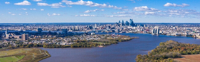
The neighborhood of Eastwick and Southwest Philadelphia form the southernmost section of the city, and one of the largest. This swath of suburban and industrial Philadelphia sits west of the Schuykill River, north of the Philadelphia International Airport, and south of Elmwood Park. The area is home to industrial parks and undeveloped cityscape, but there are also modern, urban apartment communities and long-standing houses for rent too.
One of Philadelphia’s best-kept secrets, the Simeone Foundation Automotive Museum, which houses one of the world’s best collections of vintage racecars, calls the Eastwick-Southwest Philadelphia area home. The museum houses over 65 of the world’s finest and historically significant cars, including classic and rare models from top names such as Ferrari, Alfa Romeo, Bugatti, Aston Martin, and Bentley. This section of Philly remains relatively affordable, and with Interstate 76 and 95 nearby it’s easy to commute into the heart of Philly in just minutes.
Learn more about living in Eastwick-Southwest Philadelphia
Amenities
- Range
- Patio
Education
| Colleges & Universities | Distance | ||
|---|---|---|---|
| Colleges & Universities | Distance | ||
| Drive: | 6 min | 2.1 mi | |
| Drive: | 8 min | 2.9 mi | |
| Drive: | 9 min | 3.1 mi | |
| Drive: | 10 min | 4.1 mi |
2640 S Robinson St is within 6 minutes or 2.1 miles from University of the Sciences. It is also near University of Pennsylvania and C.C. of Philadelphia, W Ctr.
Schools


Public Elementary School
Grades K-5
365 Students
Attendance Zone
Public Elementary & Middle School
Grades K-8
266 Students
Attendance Zone
Public Elementary School
Grades PK-5
391 Students
Nearby
Public High School
Grades 9-12
583 Students
Attendance Zone
Private Elementary & Middle School
Grades PK-8
253 Students
Nearby
Private Elementary, Middle & High School
Grades K-12
Nearby
School data provided by
 The GreatSchools Rating helps parents compare schools within a state based on a variety of school quality indicators and provides a helpful picture of how effectively each school serves all of its students. Ratings are on a scale of 1 (below average) to 10 (above average) and can include test scores, college readiness, academic progress, advanced courses, equity, discipline and attendance data. We also advise parents to visit schools, consider other information on school performance and programs, and consider family needs as part of the school selection process.
View GreatSchools Rating Methodology
Data provided by GreatSchools.org © 2026. All rights reserved.
The GreatSchools Rating helps parents compare schools within a state based on a variety of school quality indicators and provides a helpful picture of how effectively each school serves all of its students. Ratings are on a scale of 1 (below average) to 10 (above average) and can include test scores, college readiness, academic progress, advanced courses, equity, discipline and attendance data. We also advise parents to visit schools, consider other information on school performance and programs, and consider family needs as part of the school selection process.
View GreatSchools Rating Methodology
Data provided by GreatSchools.org © 2026. All rights reserved.
Transportation options available in Philadelphia include 62Nd Street And Elmwood Avenue, located 0.2 mile from 2640 S Robinson St. 2640 S Robinson St is near Philadelphia International, located 5.4 miles or 13 minutes away, and Trenton Mercer, located 39.4 miles or 59 minutes away.
| Transit / Subway | Distance | ||
|---|---|---|---|
| Transit / Subway | Distance | ||
|
|
Walk: | 4 min | 0.2 mi |
|
|
Walk: | 4 min | 0.2 mi |
|
|
Walk: | 6 min | 0.3 mi |
|
|
Walk: | 6 min | 0.3 mi |
|
|
Walk: | 8 min | 0.5 mi |
| Commuter Rail | Distance | ||
|---|---|---|---|
| Commuter Rail | Distance | ||
|
|
Drive: | 5 min | 1.9 mi |
|
|
Drive: | 6 min | 2.1 mi |
|
|
Drive: | 7 min | 2.4 mi |
|
|
Drive: | 9 min | 3.2 mi |
|
|
Drive: | 9 min | 3.9 mi |
| Airports | Distance | ||
|---|---|---|---|
| Airports | Distance | ||
|
Philadelphia International
|
Drive: | 13 min | 5.4 mi |
|
Trenton Mercer
|
Drive: | 59 min | 39.4 mi |
Getting Around
 What do Walkability, Transit, Drivability, and Bikeability mean?
Walkability measures the walking distance to day-to-day needs.
Transit measures access to public transportation.
Drivability measures congestion, parking availability, and access to major roads.
Bikeability measures the suitability for cycling.
How It Works
What do Walkability, Transit, Drivability, and Bikeability mean?
Walkability measures the walking distance to day-to-day needs.
Transit measures access to public transportation.
Drivability measures congestion, parking availability, and access to major roads.
Bikeability measures the suitability for cycling.
How It Works
Very Walkable
Walkability
80
/ 100
Good Public Transit
Transit
70
/ 100
Fairly Drivable
Drivability
50
/ 100
Fairly Bikeable
Bikeability
50
/ 100
Scores provided by
What do Walkability, Transit, Drivability, and Bikeability mean?
Walkability measures the walking distance to day-to-day needs.
Transit measures access to public transportation.
Drivability measures congestion, parking availability, and access to major roads.
Bikeability measures the suitability for cycling.
How It Works
Active
Soundscore™
71
/ 100
Traffic
ActiveAirport
ActiveBusinesses
ActiveScores provided by
HowLoud What is a Sound Score Rating? A Sound Score Rating aggregates noise caused by vehicle traffic, airplane traffic and local sources. How It WorksTime and distance from 2640 S Robinson St.
| Shopping Centers | Distance | ||
|---|---|---|---|
| Shopping Centers | Distance | ||
| Walk: | 11 min | 0.6 mi | |
| Walk: | 11 min | 0.6 mi | |
| Walk: | 16 min | 0.9 mi |
2640 S Robinson St has 3 shopping centers within 0.9 mile, which is about a 16-minute walk. The miles and minutes will be for the farthest away property.
| Parks and Recreation | Distance | ||
|---|---|---|---|
| Parks and Recreation | Distance | ||
|
Bartram's Garden
|
Drive: | 3 min | 1.2 mi |
|
Cobbs Creek Environmental Education Center
|
Drive: | 8 min | 2.9 mi |
|
John Heinz National Wildlife Refuge
|
Drive: | 7 min | 2.9 mi |
|
Penn Museum
|
Drive: | 9 min | 3.5 mi |
|
University of Pennsylvania Observatory
|
Drive: | 9 min | 3.6 mi |
2640 S Robinson St has 5 parks within 3.6 miles, including Bartram's Garden, John Heinz National Wildlife Refuge, and Cobbs Creek Environmental Education Center.
| Hospitals | Distance | ||
|---|---|---|---|
| Hospitals | Distance | ||
| Drive: | 8 min | 3.0 mi | |
| Drive: | 9 min | 3.2 mi | |
| Drive: | 8 min | 3.4 mi |
2640 S Robinson St has 3 hospitals within 3.4 miles, the nearest is Mercy Catholic Medical Center - Mercy Fitzgerald which is 3.0 miles away and a 8 minute drive.
| Military Bases | Distance | ||
|---|---|---|---|
| Military Bases | Distance | ||
| Drive: | 12 min | 5.1 mi | |
| Drive: | 51 min | 26.8 mi | |
| Drive: | 53 min | 29.2 mi |
2640 S Robinson St has 3 military bases within 29.2 miles, the nearest is Philadelphia Naval Busi Center which is 5.1 miles away and a 12 minute drive.
You May Also Like
Similar Rentals Nearby

2640 S Robinson St
Philadelphia, PA 19142