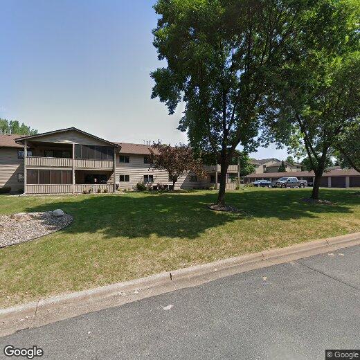
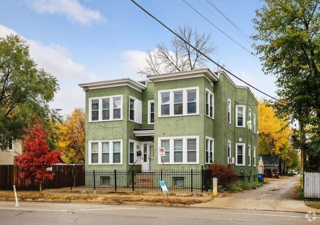
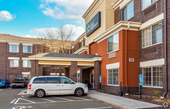
2600 75th St E
2600 75th St E
Inver Grove Heights, MN 55076
2 Weeks Ago
Favorites
2600 75th St E

Favorites
Check Back Soon for Upcoming Availability
Location
Get Directions
Just off the eastern bank of the Mississippi River, Inver Grove Heights, Minnesota has all the natural beauty expected from the state known for its grassy rolling plains. South of the Twin Cities, Inver Grove Heights is a suburb of Saint Paul. This residential city provides easy access to the surrounding areas thanks to the highway that runs through the city, Highway 52.
Residents of this quiet town enjoy several events and volunteer opportunities that keeps people of Inver Grove Heights connected. There are also many local parks and a community center that provides the community with a variety of recreation opportunities and programs. The new development within the area makes Inver Grove a city with a pleasant mix of both old and new.
Learn more about living in Inver Grove Heights
Education
| Colleges & Universities | Distance | ||
|---|---|---|---|
| Colleges & Universities | Distance | ||
| Walk: | 20 min | 1.0 mi | |
| Drive: | 14 min | 7.3 mi | |
| Drive: | 15 min | 9.3 mi | |
| Drive: | 16 min | 9.8 mi |
2600 75th St E is within 20 minutes or 1.0 miles from Inver Hills Community College. It is also near Argosy University, Twin Cities and Metropolitan State University.
Transportation options available in Inver Grove Heights include Central Station, located 8.6 miles from 2600 75th St E. 2600 75th St E is near Minneapolis-St Paul International/Wold-Chamberlain, located 11.6 miles or 20 minutes away.
| Transit / Subway | Distance | ||
|---|---|---|---|
| Transit / Subway | Distance | ||
| Drive: | 14 min | 8.6 mi | |
| Drive: | 14 min | 8.7 mi | |
| Drive: | 14 min | 8.9 mi | |
| Drive: | 15 min | 9.3 mi | |
|
Lindbergh Terminal Station
|
Drive: | 18 min | 10.6 mi |
| Commuter Rail | Distance | ||
|---|---|---|---|
| Commuter Rail | Distance | ||
|
|
Drive: | 14 min | 8.9 mi |
|
|
Drive: | 32 min | 19.6 mi |
|
|
Drive: | 35 min | 25.4 mi |
|
|
Drive: | 45 min | 33.6 mi |
|
|
Drive: | 47 min | 35.2 mi |
| Airports | Distance | ||
|---|---|---|---|
| Airports | Distance | ||
|
Minneapolis-St Paul International/Wold-Chamberlain
|
Drive: | 20 min | 11.6 mi |
Time and distance from 2600 75th St E.
| Shopping Centers | Distance | ||
|---|---|---|---|
| Shopping Centers | Distance | ||
| Drive: | 3 min | 1.1 mi | |
| Drive: | 4 min | 1.4 mi | |
| Drive: | 4 min | 1.7 mi |
2600 75th St E has 3 shopping centers within 1.7 miles, which is about a 4-minute drive. The miles and minutes will be for the farthest away property.
| Parks and Recreation | Distance | ||
|---|---|---|---|
| Parks and Recreation | Distance | ||
|
Dodge Nature Center
|
Drive: | 11 min | 6.0 mi |
|
Cherokee Regional Park
|
Drive: | 16 min | 8.8 mi |
|
Crosby Farm Regional Park
|
Drive: | 17 min | 10.0 mi |
|
Spring Lake Reserve
|
Drive: | 17 min | 10.2 mi |
|
Fort Snelling State Park
|
Drive: | 22 min | 11.9 mi |
2600 75th St E has 5 parks within 11.9 miles, including Dodge Nature Center, Cherokee Regional Park, and Fort Snelling State Park.
| Hospitals | Distance | ||
|---|---|---|---|
| Hospitals | Distance | ||
| Drive: | 15 min | 9.2 mi | |
| Drive: | 15 min | 9.5 mi | |
| Drive: | 16 min | 9.6 mi |
2600 75th St E has 3 hospitals within 9.6 miles, the nearest is St. Joseph's Hospital which is 9.2 miles away and a 15 minute drive.
| Military Bases | Distance | ||
|---|---|---|---|
| Military Bases | Distance | ||
| Drive: | 18 min | 10.4 mi |
2600 75th St E is 10.4 miles and a 18 minute drive from Fort Snelling Military Reservation.
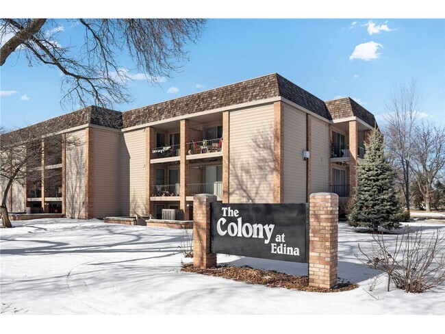
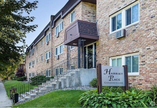
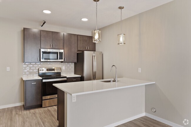
You May Also Like
Similar Rentals Nearby
What Are Walk Score®, Transit Score®, and Bike Score® Ratings?
Walk Score® measures the walkability of any address. Transit Score® measures access to public transit. Bike Score® measures the bikeability of any address.
What is a Sound Score Rating?
A Sound Score Rating aggregates noise caused by vehicle traffic, airplane traffic and local sources