
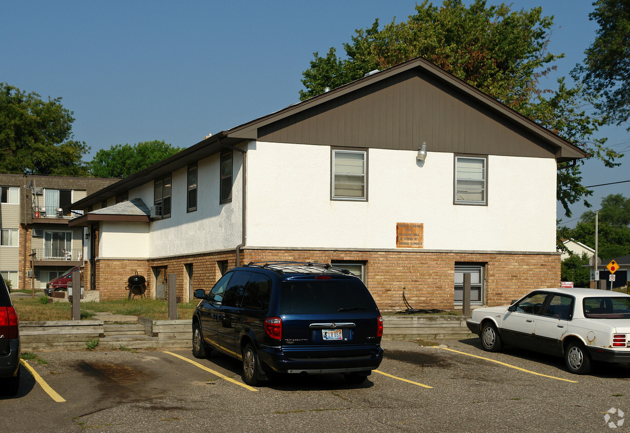
H2 Flats
2659 County Road H2,
Mounds View, MN 55112
1 Bed $1,124 - $1,199


Spacious 1 BR Beautiful Apartment Heat Paid New Carpet New Kitchen Close to Shopping Bus Line
2500 County Road I is an apartment community located in Ramsey County and the 55112 ZIP Code. This area is served by the Mounds View Public attendance zone.
Tile Floors
Heating
Carpet
Kitchen
Mounds View is a family-friendly suburb situated just 13 miles northeast of Minneapolis, Minnesota. The Minneapolis Institute of Art, Target Field, and Guthrie Theater are just a few of the city’s major attractions that are less than twenty minutes from your potential new home.
The city’s residential streets offer spacious lots and towering trees, giving Mounds View a park-like atmosphere. Speaking of parks, this city has plenty of them! From athletic fields and playgrounds to walking trails and picnic areas, these suburban parks offer an outdoor oasis for Mounds View residents.
With excellent public schools, various retailers, movie theaters, restaurants, and more, Mounds View has plenty to offer. This affordable suburb is situated along US-10 with public bus stops around town, so travel from place to place is quick and easy. Peaceful suburban living in close proximity to big city attractions awaits you in Mounds View.
Learn more about living in Mounds View| Colleges & Universities | Distance | ||
|---|---|---|---|
| Colleges & Universities | Distance | ||
| Drive: | 9 min | 5.1 mi | |
| Drive: | 10 min | 6.7 mi | |
| Drive: | 15 min | 8.8 mi | |
| Drive: | 18 min | 11.8 mi |


Transportation options available in Mounds View include East Bank Station, located 12.4 miles from 2500 County Road I. 2500 County Road I is near Minneapolis-St Paul International/Wold-Chamberlain, located 20.6 miles or 33 minutes away.
| Transit / Subway | Distance | ||
|---|---|---|---|
| Transit / Subway | Distance | ||
| Drive: | 19 min | 12.4 mi | |
| Drive: | 19 min | 13.1 mi | |
|
|
Drive: | 20 min | 13.4 mi |
|
|
Drive: | 21 min | 13.6 mi |
| Drive: | 22 min | 13.8 mi |
| Commuter Rail | Distance | ||
|---|---|---|---|
| Commuter Rail | Distance | ||
|
|
Drive: | 12 min | 5.5 mi |
|
|
Drive: | 16 min | 10.6 mi |
|
|
Drive: | 17 min | 12.3 mi |
|
|
Drive: | 21 min | 13.7 mi |
|
|
Drive: | 19 min | 14.3 mi |
| Airports | Distance | ||
|---|---|---|---|
| Airports | Distance | ||
|
Minneapolis-St Paul International/Wold-Chamberlain
|
Drive: | 33 min | 20.6 mi |
Time and distance from 2500 County Road I.
| Shopping Centers | Distance | ||
|---|---|---|---|
| Shopping Centers | Distance | ||
| Walk: | 5 min | 0.3 mi | |
| Walk: | 9 min | 0.5 mi | |
| Walk: | 13 min | 0.7 mi |
| Parks and Recreation | Distance | ||
|---|---|---|---|
| Parks and Recreation | Distance | ||
|
Creekview Park
|
Drive: | 4 min | 2.1 mi |
|
Springbrook Nature Center
|
Drive: | 8 min | 3.9 mi |
|
Locke County Park
|
Drive: | 11 min | 4.3 mi |
|
Silverwood Park
|
Drive: | 11 min | 5.1 mi |
|
B. F. Nelson Park
|
Drive: | 11 min | 6.4 mi |
| Hospitals | Distance | ||
|---|---|---|---|
| Hospitals | Distance | ||
| Drive: | 17 min | 10.0 mi | |
| Drive: | 19 min | 13.3 mi | |
| Drive: | 19 min | 13.4 mi |
| Military Bases | Distance | ||
|---|---|---|---|
| Military Bases | Distance | ||
| Drive: | 29 min | 18.8 mi |
What Are Walk Score®, Transit Score®, and Bike Score® Ratings?
Walk Score® measures the walkability of any address. Transit Score® measures access to public transit. Bike Score® measures the bikeability of any address.
What is a Sound Score Rating?
A Sound Score Rating aggregates noise caused by vehicle traffic, airplane traffic and local sources
2500 County Road I
Mounds View, MN 55112


