
$3,500 Total Monthly Price
12 Month Lease

24 Loring St

,

Belmont, MA 02478

Share Listing
Favorites
781-316-4172
  • Bedrooms

    3

  • Bathrooms

    1.5

  • Square Feet

    --

  • Available

    Available Sep 1

24 Loring St
Share Listing
Favorites

About This Home

12 Month Lease , Available Sep 1

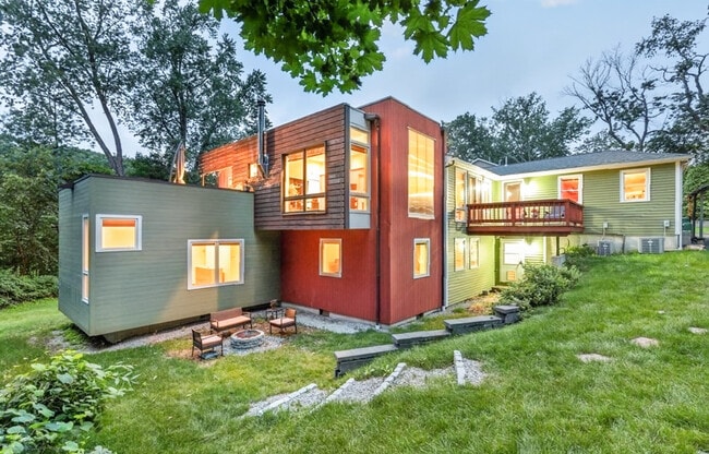
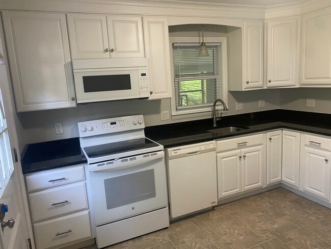
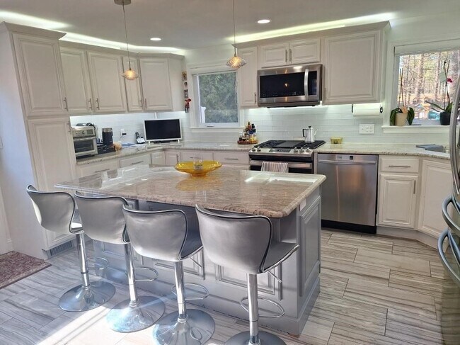
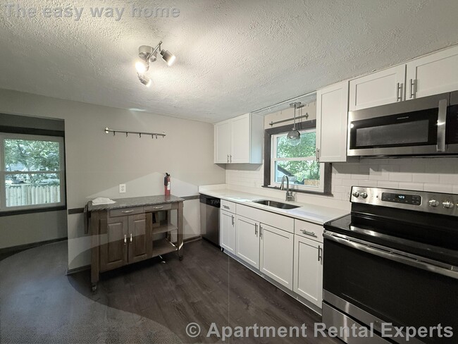
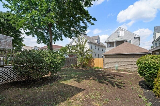
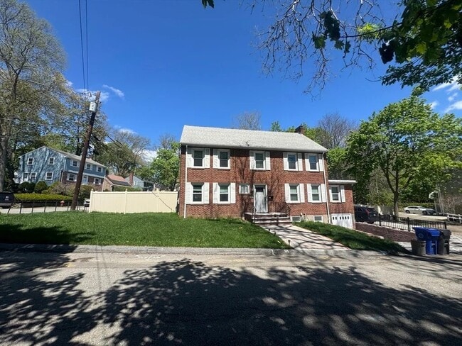
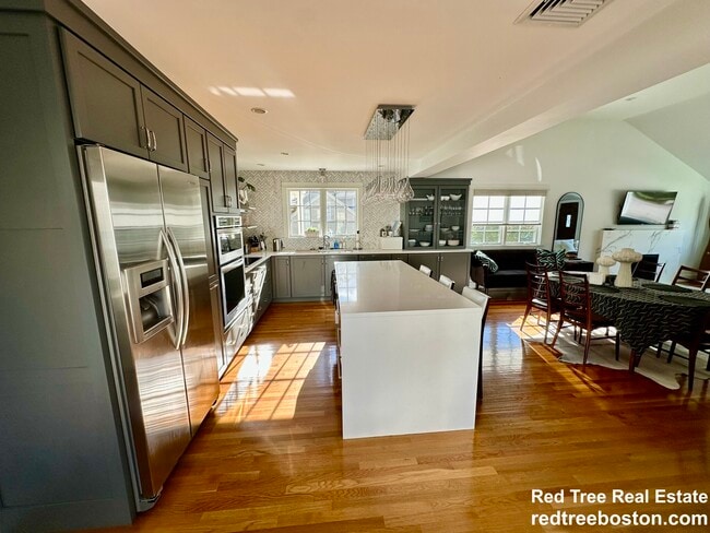
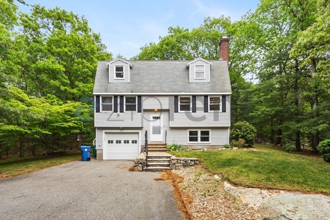
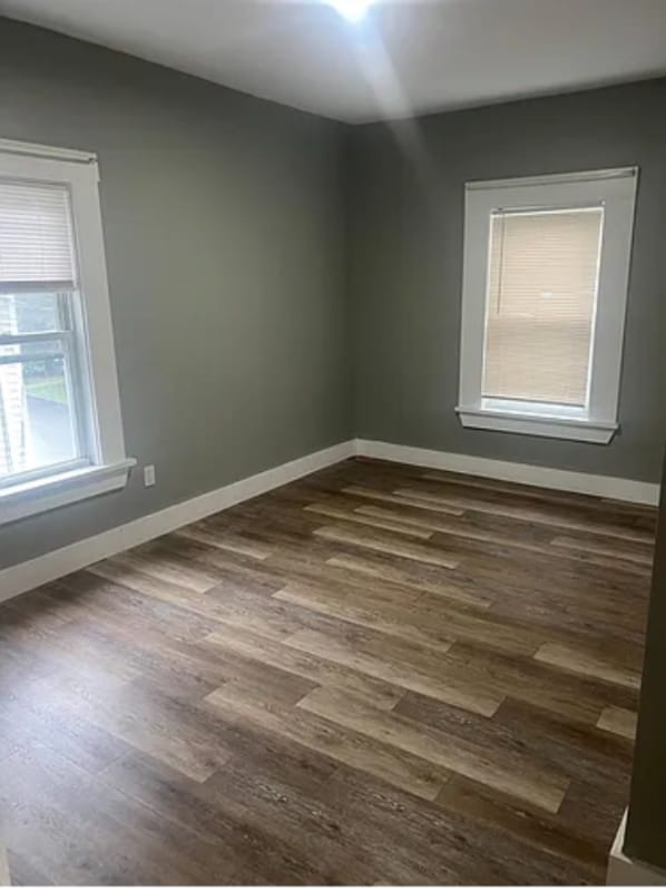
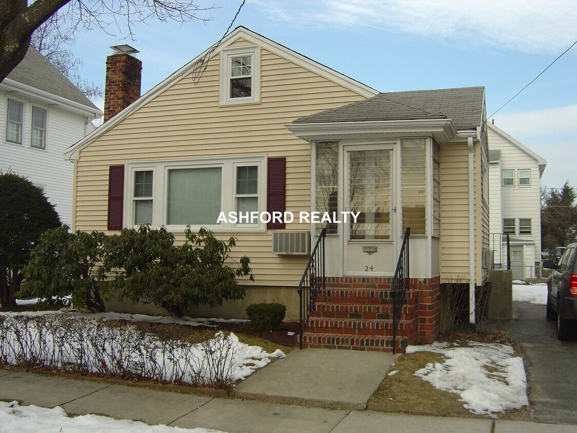
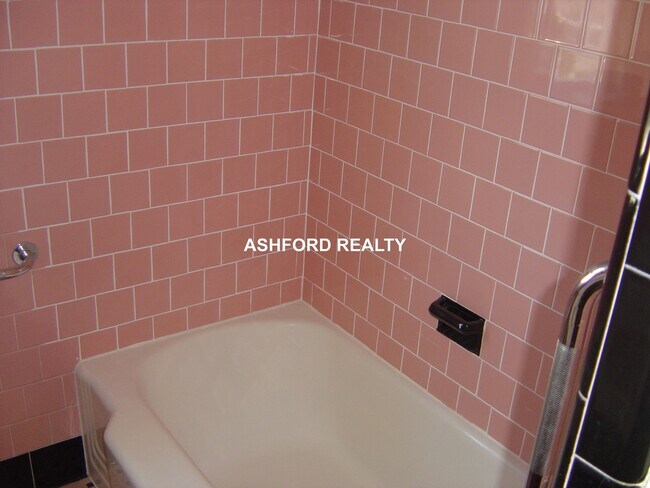
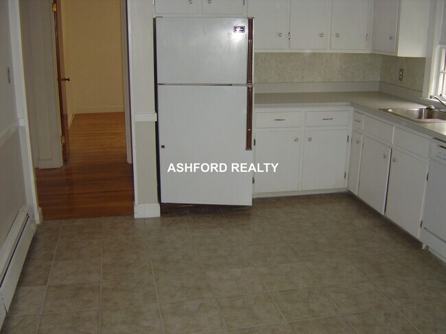
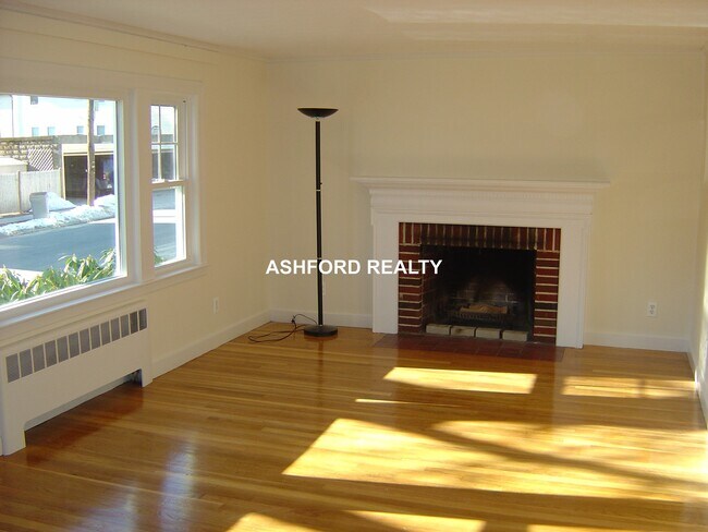
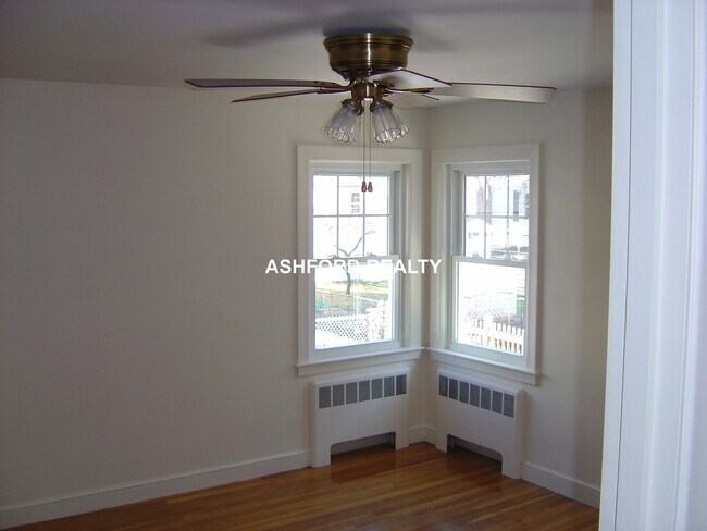
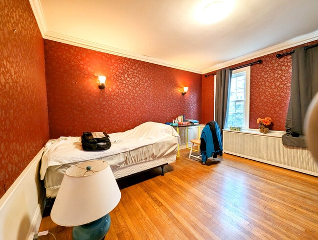
SINGLE FAMILY RANCH HOME LARGE LIVING ROOM WITH ORNAMENTAL FIREPLACE DINING AREA LARGE EIK D/D ELEC RANGE, REFRIG, THREE BEDROOMS PLUS ONE AND A HALF BATHS FINISHED LOWER LEVEL/ FAMILY, RECREATION ROOM PRIVATE BACKYARD 2 CAR OFF STREET PARKING OIL HEAT AV 9/1..HARDWOOD FLOORS CALL OR TEXT DAVID GOOD CREDIT NEEDED

24 Loring St is a house located in Middlesex County and the 02478 ZIP Code.

* Price shown is total price based on community-supplied monthly required fees. Excludes user-selected optional fees and variable or usage-based fees and required charges due at or prior to move-in or at move-out. Price, availability, fees, and any applicable rent special are subject to change without notice.
* Square footage definitions vary. Displayed square footage is approximate.

Fees and Policies

The fees listed below are community-provided and may exclude utilities or add-ons. All payments are made directly to the property and are non-refundable unless otherwise specified.

  • Surface Lot

Property Fee Disclaimer: Based on community-supplied data and independent market research. Subject to change without notice. May exclude fees for mandatory or optional services and usage-based utilities.

Details

Lease Options

  • 12 Months

House Features

Hardwood Floors

Fireplace

Range

Dining Room

  • Fireplace
  • Range
  • Hardwood Floors
  • Dining Room
  • Recreation Room
  • Laundry Facilities

Contact

  • Listed by Wendy Ashford | ASHFORD REALTY
  • Phone Number
  • Contact
| Edit

Under 30 minutes

Commute Time is calculated at rush hour.
City - Belmont

Sitting just eight miles west of Downtown Boston, Belmont has earned its local nickname — "the Town of Homes" — through decades of well-kept residential streets and a close-knit atmosphere that larger cities rarely replicate. Incorporated in 1859 from portions of Watertown, Waltham, and Arlington, this compact Middlesex County town covers just five square miles yet packs in a surprisingly layered sense of place. Its position on Cambridge's western border puts Harvard Square within easy reach, and the broader Greater Boston employment and academic corridors are genuinely convenient for daily commuters.

Belmont's housing stock reflects its deep-rooted residential character. Historic single-family homes anchor neighborhoods like the Pleasant Street Historic District, while apartment communities range from converted multi-family buildings with classic New England architecture to updated rental options suited for a range of lifestyles.

Learn more about living in Belmont 
Amenities
  • Fireplace
  • Range
  • Hardwood Floors
  • Dining Room
  • Recreation Room
  • Laundry Facilities
Education
Colleges & Universities Distance
Drive: 5 min 2.1 mi
Drive: 10 min 4.4 mi
Drive: 12 min 4.8 mi
Drive: 13 min 5.4 mi
24 Loring St is within 5 minutes or 2.1 miles from Bentley University. It is also near Lesley University and Boston College, Brighton.
Transportation

Transportation options available in Belmont include Alewife, located 3.9 miles from 24 Loring St. 24 Loring St is near General Edward Lawrence Logan International, located 12.1 miles or 22 minutes away.

Transit / Subway Distance
Drive: 7 min 3.9 mi
Drive: 10 min 4.7 mi
Drive: 12 min 5.0 mi
Drive: 12 min 5.2 mi
Drive: 11 min 5.3 mi
Commuter Rail Distance
Walk: 11 min 0.6 mi
Drive: 4 min 1.8 mi
Drive: 6 min 3.1 mi
Drive: 7 min 3.2 mi
Drive: 7 min 3.5 mi
Airports Distance
Airports Distance
General Edward Lawrence Logan International
Drive: 22 min 12.1 mi
Getting Around
Moderately Walkable
Walkability
70 / 100
Some Public Transit
Transit
50 / 100
Fairly Drivable
Drivability
50 / 100
Moderately Bikeable
Bikeability
70 / 100

Scores provided by

What do Walkability, Transit, Drivability, and Bikeability mean? Walkability measures the walking distance to day-to-day needs. Transit measures access to public transportation. Drivability measures congestion, parking availability, and access to major roads. Bikeability measures the suitability for cycling. How It Works
-
Soundscore
- / 100

Traffic

-

Airport

-

Businesses

-

Scores provided by

HowLoud What is a Sound Score Rating? A Sound Score Rating aggregates noise caused by vehicle traffic, airplane traffic and local sources. How It Works
Points of Interest

Time and distance from 24 Loring St.

Shopping Centers Distance
Walk: 14 min 0.7 mi
Walk: 14 min 0.8 mi
Drive: 4 min 1.6 mi
24 Loring St has 3 shopping centers within 1.6 miles, which is about a 4-minute drive. The miles and minutes will be for the farthest away property.
Parks and Recreation Distance
Beaver Brook Reservation
Drive: 3 min 1.2 mi
Mass Audubon's Habitat Education Center and Wildlife Sanctuary
Drive: 7 min 2.8 mi
Longfellow National Historic Site
Drive: 7 min 3.4 mi
Harvard-Smithsonian Center for Astrophysics
Drive: 8 min 3.5 mi
Harvard Museum of Natural History
Drive: 10 min 4.5 mi
24 Loring St has 5 parks within 4.5 miles, including Beaver Brook Reservation, Mass Audubon's Habitat Education Center and Wildlife Sanctuary, and Longfellow National Historic Site.
Hospitals Distance
Hospitals Distance
Drive: 2 min 1.1 mi
Drive: 6 min 2.9 mi
Drive: 9 min 4.1 mi
24 Loring St has 3 hospitals within 4.1 miles, the nearest is McLean Hospital Corporation which is 1.1 miles away and a 2 minute drive.
Military Bases Distance
Drive: 18 min 8.3 mi
Drive: 26 min 14.3 mi
Drive: 44 min 22.7 mi
24 Loring St has 3 military bases within 22.7 miles, the nearest is Hanscom Air Force Base which is 8.3 miles away and a 18 minute drive.

You May Also Like

Similar Rentals Nearby