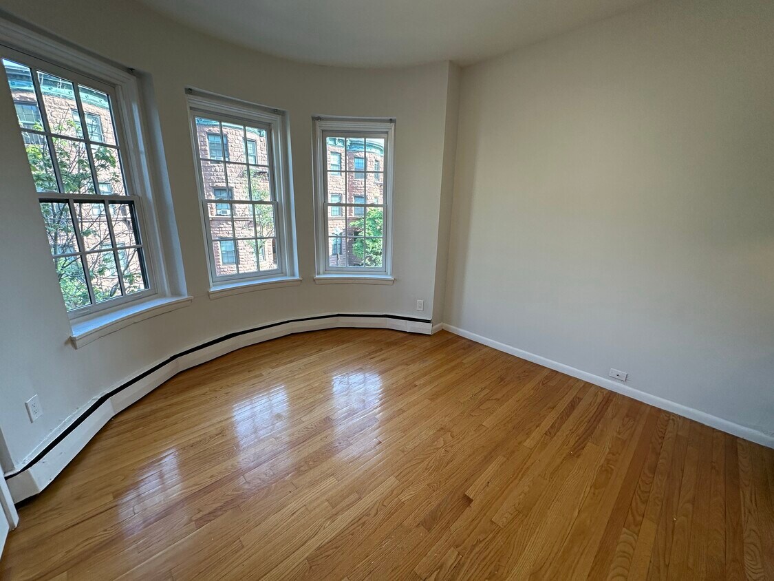
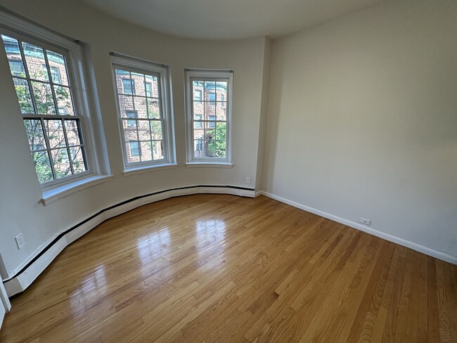
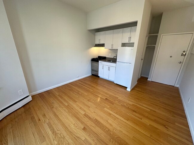
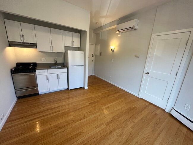
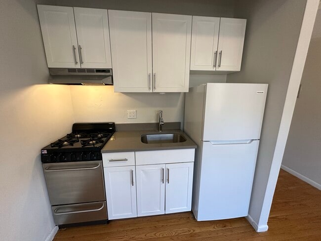
198 Saint Botolph St
Boston, MA 02115
-
Bedrooms
1
-
Bathrooms
1
-
Square Feet
311 - 354 sq ft
-
Available
Available Now

2 Available Units
198 Saint Botolph St is an apartment community located in Suffolk County and the 02115 ZIP Code. This area is served by the Boston Public Schools attendance zone.
Apartment Features
- Air Conditioning
Fees and Policies
The fees listed below are community-provided and may exclude utilities or add-ons. All payments are made directly to the property and are non-refundable unless otherwise specified.
- One-Time Move-In Fees
-
Broker Fee$0
- Cats Allowed
-
Fees not specified
-
Weight limit--
-
Pet Limit--
- Parking
-
Street--
Details
Utilities Included
-
Water
Property Information
-
3 units
Contact
- Contact
Back Bay is one of Boston's most architecturally striking neighborhoods, built on land reclaimed from the tidal flats of the Charles River in the mid-1800s. That ambitious landfill project gave the neighborhood its name and left behind a grid of wide, tree-lined streets that feel rare in a city otherwise defined by its winding, colonial-era roads. Commonwealth Avenue, the neighborhood's central boulevard, stretches from the Public Garden westward with a landscaped mall running down its center, flanked by rows of preserved Victorian brownstones.
The neighborhood draws residents who want proximity to Boston's core without sacrificing a sense of residential calm. Newbury Street and Boylston Street anchor the commercial life here, while Copley Square and the Prudential Center mark two of Back Bay's most recognized civic and retail landmarks. Northeastern University sits just at the neighborhood's southern edge.
The rental landscape reflects the neighborhood's prestige and density.
Learn more about living in Back Bay| Colleges & Universities | Distance | ||
|---|---|---|---|
| Colleges & Universities | Distance | ||
| Walk: | 6 min | 0.4 mi | |
| Walk: | 7 min | 0.4 mi | |
| Walk: | 14 min | 0.8 mi | |
| Walk: | 18 min | 1.0 mi |


 The GreatSchools Rating helps parents compare schools within a state based on a variety of school quality indicators and provides a helpful picture of how effectively each school serves all of its students. Ratings are on a scale of 1 (below average) to 10 (above average) and can include test scores, college readiness, academic progress, advanced courses, equity, discipline and attendance data. We also advise parents to visit schools, consider other information on school performance and programs, and consider family needs as part of the school selection process.
View GreatSchools Rating Methodology
Data provided by GreatSchools.org © 2026. All rights reserved.
Transportation options available in Boston include Symphony Station, located 0.1 mile from 198 Saint Botolph St. 198 Saint Botolph St is near General Edward Lawrence Logan International, located 5.7 miles or 12 minutes away.
| Transit / Subway | Distance | ||
|---|---|---|---|
| Transit / Subway | Distance | ||
|
|
Walk: | 1 min | 0.1 mi |
|
|
Walk: | 2 min | 0.1 mi |
|
|
Walk: | 6 min | 0.3 mi |
|
|
Walk: | 7 min | 0.4 mi |
|
|
Walk: | 9 min | 0.5 mi |
| Commuter Rail | Distance | ||
|---|---|---|---|
| Commuter Rail | Distance | ||
|
|
Walk: | 12 min | 0.6 mi |
| Walk: | 13 min | 0.7 mi | |
| Drive: | 3 min | 1.5 mi | |
| Drive: | 7 min | 3.7 mi | |
| Drive: | 8 min | 3.8 mi |
| Airports | Distance | ||
|---|---|---|---|
| Airports | Distance | ||
|
General Edward Lawrence Logan International
|
Drive: | 12 min | 5.7 mi |
Scores provided by
 What do Walkability, Transit, Drivability, and Bikeability mean?
Walkability measures the walking distance to day-to-day needs.
Transit measures access to public transportation.
Drivability measures congestion, parking availability, and access to major roads.
Bikeability measures the suitability for cycling.
How It Works
What do Walkability, Transit, Drivability, and Bikeability mean?
Walkability measures the walking distance to day-to-day needs.
Transit measures access to public transportation.
Drivability measures congestion, parking availability, and access to major roads.
Bikeability measures the suitability for cycling.
How It Works
Traffic
BusyAirport
CalmBusinesses
BusyScores provided by
HowLoud What is a Sound Score Rating? A Sound Score Rating aggregates noise caused by vehicle traffic, airplane traffic and local sources. How It WorksTime and distance from 198 Saint Botolph St.
| Shopping Centers | Distance | ||
|---|---|---|---|
| Shopping Centers | Distance | ||
| Walk: | 9 min | 0.5 mi | |
| Drive: | 8 min | 4.7 mi | |
| Drive: | 8 min | 4.9 mi |
| Parks and Recreation | Distance | ||
|---|---|---|---|
| Parks and Recreation | Distance | ||
|
Roxbury Heritage State Park
|
Drive: | 4 min | 1.4 mi |
|
Charles River Reservation
|
Drive: | 3 min | 1.4 mi |
|
Boston Public Garden
|
Drive: | 4 min | 1.5 mi |
|
Coit Observatory
|
Drive: | 4 min | 1.8 mi |
|
Boston African American National Historic Site
|
Drive: | 6 min | 1.9 mi |
| Hospitals | Distance | ||
|---|---|---|---|
| Hospitals | Distance | ||
| Walk: | 14 min | 0.7 mi | |
| Drive: | 3 min | 1.1 mi | |
| Drive: | 3 min | 1.3 mi |
| Military Bases | Distance | ||
|---|---|---|---|
| Military Bases | Distance | ||
| Drive: | 29 min | 15.6 mi | |
| Drive: | 29 min | 15.9 mi | |
| Drive: | 36 min | 20.7 mi |
- Air Conditioning
198 Saint Botolph St Photos
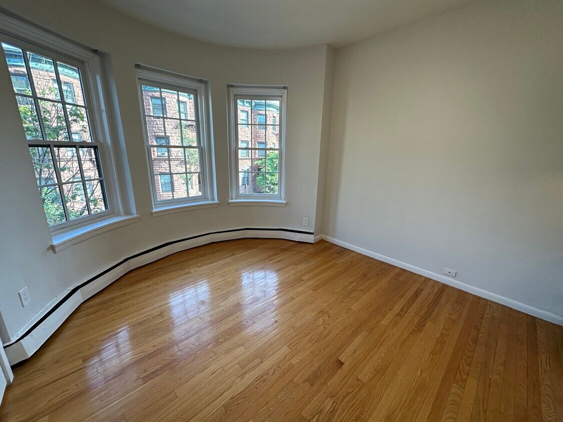
198 Saint Botolph St
Boston, MA 02115